Browse / Portugal / Faro / Almancil
Almancil
Farocity

Almancil
Total population
4,998
Demographic figures from INE Portugal. Overview below cites Wikipedia and may reference a different year.
City facts
Overview
Almancil is a town and freguesia in the Loulé Municipality, in the affluent Golden Triangle region of the Algarve of southern Portugal. Almancil is known for its three Michelin star restaurants, the most of any town in the Algarve.
Read more on WikipediaHistory & geography
History
First referred to as Almansil, Almancil had an Arabic origin; it was likely Almançal, which means "inn" or another variant suggesting a watercourse (Almansil). The territory that is today Almancil remotes to the Paleolithic, with archaeological excavations unearthing vestages from remote settlements. The more important artifacts come from the Roman occupation from São João da Venda, Ludo and Quinta do Lago, with the latter occupied by Islamic forces. In the 16th century, Alexandre Massai (who served the Portuguese Crown) realized excavations along the coastal fortifications in the Algarve, discovering the plans for the fort of Farrobilhas, the old fortification that dominated Almancil (but today lost due to the coastal advance). Visits by the members of the Order of Santiago, in the middle of the 17th century, mentioned the existence of the hermitage of Nossa Senhora de Farrobilhas (also destroyed since this period). In the 18th century, the reconstruction of the hermitage of São Lourenço, then in ruins, in fulfillment of a promise made to the saint by the population, brought new impetus to the communal religious life. The temple, which was barely touched by the 1755 earthquake, became one of the most important in the region after its restoration: celebrations occur annually on 10 August, in honour of Saint Lawrence. Almancil has been a civil parish since 1836; following expansion and development in the 19th century, the parish of São João da Venda was divided between the municipalities of Faro and Loulé. In the west, the civil parish of São João Batista de Almancil and portion of the neighbouring territory of São Clemente was integrated into the new Almancil. Due to an influx of tourism into the Algarve, the resident population of the parish expanded, resulting in…
Geography
Almancil is located along the south-eastern coastline of the municipality of Loulé, fronting the civil parishes of Quarteira and São Clemente (in the municipality of Loulé) and Santa Bárbara de Nexe, Faro (Sé e São Pedro) and Montenegro (in the municipality of Faro). The natural landscape of the parish is marked by the Nature Park of the Ria Formosa, a site of great botanical value and a natural habitat of rare ornithological species. Along the coast are the several popular beaches: Ancão, Quinta do Lago, Garrão and Vale do Lobo.
Excerpted from the corresponding Wikipedia article (CC BY-SA).
Geography
Coordinates & boundaries from the US Census TIGER/Line shapefiles.
Climate
Air quality
Walkability
Amenities nearby
Wildlife & biodiversity
Earthquake history
Photos
Sights & places nearby
Notable people from here
Nearby places in Faro
- Vale Judeu4.2 mi away · pop. 716
- Monte Poço4.8 mi away · pop. 147
- Conceição6.4 mi away · pop. 636
- Querença8.1 mi away · pop. 35
- Quelfes11.7 mi away
- Moncarapacho13.3 mi away · pop. 1,192
- Algoz15.9 mi away · pop. 1,987
- Pera17.3 mi away · pop. 1,379
- Santo Estêvão17.6 mi away
- Lagoa23.6 mi away · pop. 6,010
- Cabanas de Tavira23.9 mi away
- Vaqueiros26.4 mi away · pop. 58
Geography & sun
Nearby airports
Public attention
Books about this place
Recent natural events nearby
Ground air-quality sensors
Recently spotted species
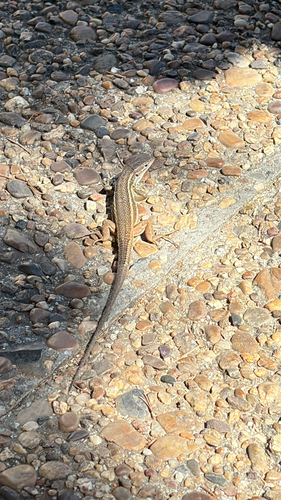
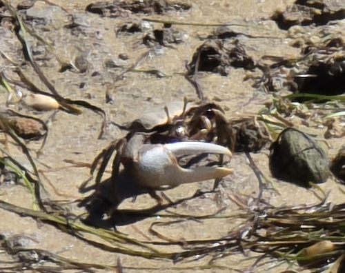
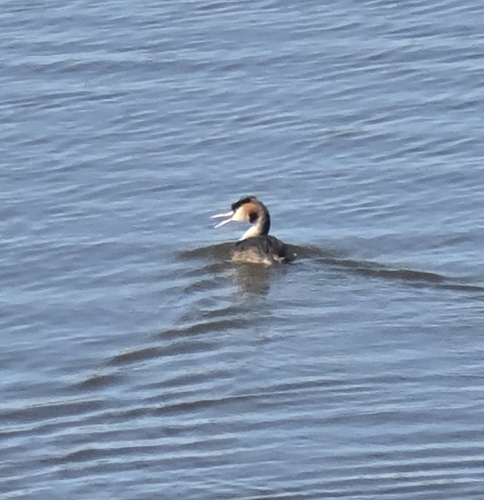
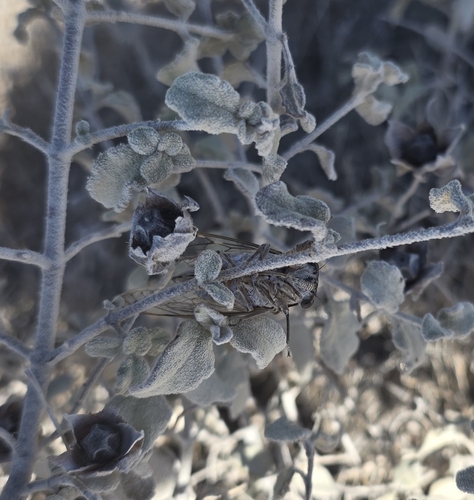
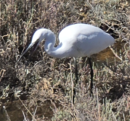
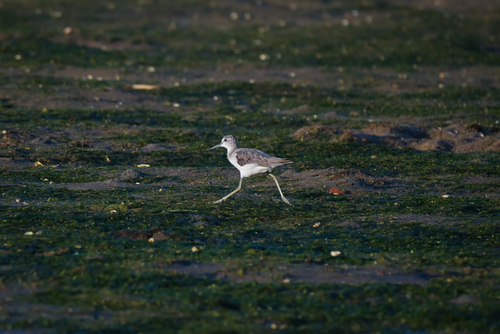
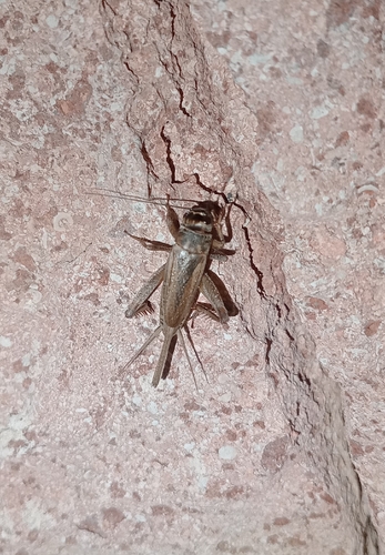
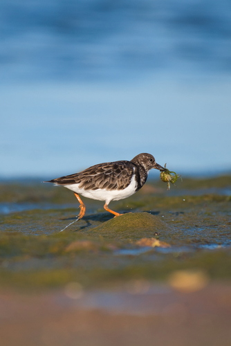
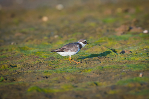
Research-grade observations from iNaturalist (within ~15 mi).
Events
Gallery
Official Identifiers
INE Portugal
- INE ID
- 080801
- Population (Wikidata)
- 11,291
- Wikidata
- Q374030
INE ID via Wikidata P6324
Sources
- • Wikipedia
- • iNaturalist
- • Wikidata SPARQL (CC0) — population, area, elevation, inception, head of government, Commons image
- • INE Portugal — INE ID via Wikidata P6324