Browse / Portugal / Braga / Arnoia
Arnoia
Bragavillage

Arnoia
Total population
1,702
Demographic figures from INE Portugal. Overview below cites Wikipedia and may reference a different year.
City facts
Overview
Arnóia, also spelled Arnoia, is a Portuguese locality and civil parish in the municipality of Celorico de Basto, in the Braga District and the Norte Region. It belongs to the intermunicipal community of Tâmega e Sousa.
Read more on WikipediaHistory & geography
History
Human occupation in the territory of the municipality of Celorico de Basto dates back at least to the Middle Neolithic, as shown in particular by the group of funerary tumuli on the Planalto da Lameira. Several castros from the Iron Age are also attested in neighbouring civil parishes, including those of Ladário, in Ribas, Barrega, in Borba de Montanha, and Ourilhe. In Arnóia, occupation prior to the medieval construction of the castle remains poorly documented. According to a tradition repeated by several authors, the castle may have been built on the site of an earlier Roman castro or Visigothic citânia, an interpretation consistent with the Roman strategy of occupying heights overlooking routes of communication, but not confirmed by documentary sources. The castle and its territory are mentioned in the Inquirições of 1258, during the reign of Afonso III of Portugal. These royal inquiries attest to the integration of Arnóia into the military, fiscal and seigneurial organization of the kingdom: several casais from the civil parishes of Arnóia, Caçarilhe and Carvalho were required to feed the castle's guard dogs and to provide the lime necessary for its maintenance. Arnóia became the seat of the former Vila de Basto, the administrative centre of the Terras de Basto. The settlement housed the institutions of the concelho, including the council house, prison and pillory, of which remains still survive. In the early 18th century, the isolation of the settlement led to the transfer of the administrative centre. By royal provision of 21 April 1719, John V of Portugal transferred the seat of the concelho from Arnóia to the place of Freixieiro, in the parish of Britelo, renamed for the occasion Vila Nova de Freixieiro, now Celorico de Basto. This transfer accelerated the…
Geography
Arnóia is located in the eastern part of the municipality of Celorico de Basto, in the Braga District, within the Tâmega e Sousa intermunicipal community. The civil parish covers an area of 18.73 km², about one tenth of the total area of the municipality, which covers 181.07 km². It lies within the mountainous setting of the Tâmega e Sousa area, broadly framed by the massifs of the Alvão, the Cabreira and the Marão, with alternating plateaus and narrow valleys descending towards the Tâmega River. The Castle of Arnóia, built on a rocky spur overlooking the former Vila de Basto, illustrates this topography.
Excerpted from the corresponding Wikipedia article (CC BY-SA).
Geography
Coordinates & boundaries from the US Census TIGER/Line shapefiles.
Climate
Air quality
Walkability
Amenities nearby
Wildlife & biodiversity
Earthquake history
Photos
Sights & places nearby
Notable people from here
Nearby places in Braga
- Ksar El Hirane803.7 mi away
- Hassi Delaa838.5 mi away · pop. 11,204
- Hassi R'Mel850.4 mi away · pop. 22,133
- Brnjavac1224.4 mi away · pop. 93
- Malička1224.7 mi away · pop. 43
- Podgorje1225.7 mi away · pop. 150
- Stipan1226.6 mi away · pop. 50
- Dugo Selo Lasinjsko1227.3 mi away · pop. 46
- Šljivovac1228 mi away · pop. 32
- Kirin1228 mi away · pop. 52
- Katinovac1228.2 mi away · pop. 90
- Kozarac1228.4 mi away
Geography & sun
Elevation, sunrise/sunset and daylight from Open-Meteo. Solar climatology from NASA POWER.
Nearby airports
Public attention
Pageview totals from the Wikimedia Pageviews API.
Books about this place
Recent natural events nearby
Ground air-quality sensors
Recently spotted species
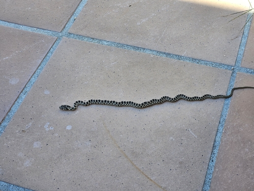
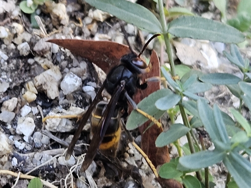
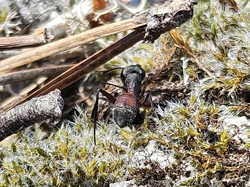
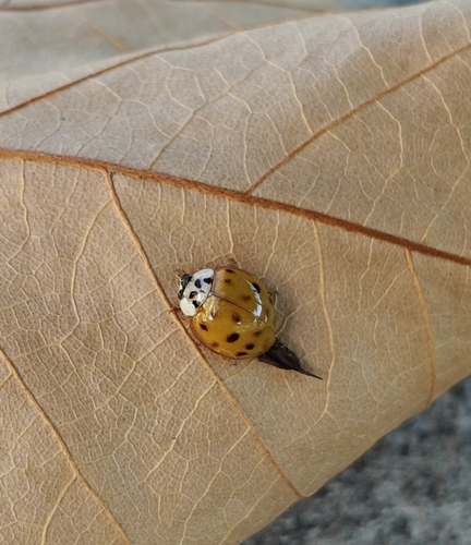
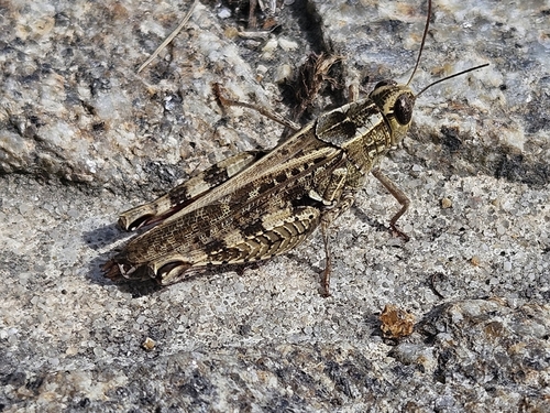
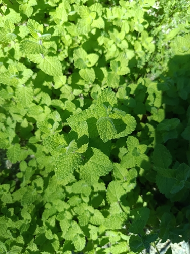
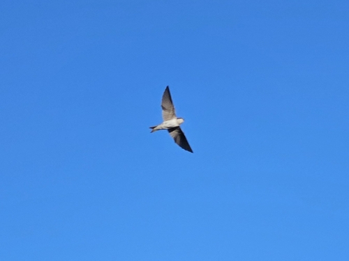
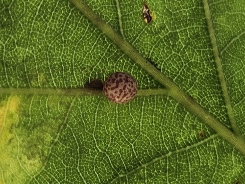
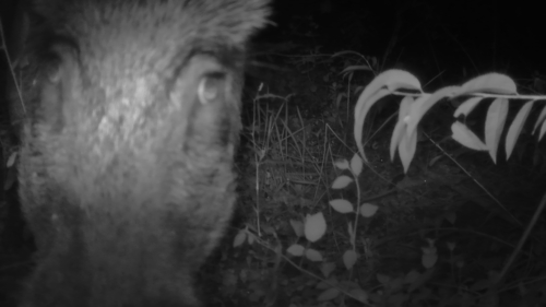
Research-grade observations from iNaturalist (within ~15 mi).
Events
Gallery
Official Identifiers
INE Portugal
- INE ID
- 030502
- Population (Wikidata)
- 1,512
- Wikidata
- Q1023343
INE ID via Wikidata P6324
Sources
- • Wikipedia
- • iNaturalist
- • Open-Meteo / sunrise-sunset.org
- • Wikipedia Pageviews API
- • Wikidata SPARQL (CC0) — population, area, elevation, inception, head of government, Commons image
- • INE Portugal — INE ID via Wikidata P6324