Browse / Portugal / Coimbra / Arrifana
Arrifana
Coimbravillage

Featured view
Arrifana
Elevation266 m
Land area24.11 km²
Coordinates40.23°, -8.28°
Demographic figures from INE Portugal. Overview below cites Wikipedia and may reference a different year.
Loading additional data from public sources…0 / 11
CensusWikipediaWeatherPlacesPeopleEnvironmentHealth & SchoolsRelatedGeography & CultureLive MonitoringEvents & Gallery
0% completeCity facts
Elevation
266 m
Area
24.11 km²
Facts from Wikidata (CC0).
Overview
Arrifana is a civil parish in the municipality of Vila Nova de Poiares, Portugal. The population in 2011 was 1,440, in an area of 23.84 km².
Read more on WikipediaHistory & geography
Geography
Latitude
40.2282
Longitude
-8.2761
Water area
—
Coordinates & boundaries from the US Census TIGER/Line shapefiles.
Climate
Air quality
Walkability
Amenities nearby
Wildlife & biodiversity
Earthquake history
Photos
Sights & places nearby
Notable people from here

Francisco José Fernandes
Portuguese politician (1867-1925)

António José de Almeida
President of Portugal (1866-1929)
A
António Varandas
Portuguese chemist
J
José Alberto Carvalho
Portuguese journalist
L
Luísa de Jesus
last woman executed in Portugal
A
Aniceto Simões
Portuguese long-distance and steeplechase runner
A
António Augusto dos Santos Nogueira
person identified in the Museu da Pessoa collection
C
Camila Rebelo
Portuguese swimmer
I
Isabel Mariana Simões Nogueira Manso
Portuguese botanist, taxonomist

António Pires de Carvalho
Portuguese physician
A
António Alves Mendes
People born within ~10 km, from Wikidata (CC0). Click any name for their Wikipedia article.
Geography & sun
Avg solar (kWh/m²/day)
4.51
Annual solar (kWh/m²)
1,648
Elevation, sunrise/sunset and daylight from Open-Meteo. Solar climatology from NASA POWER.
Nearby airports
Public attention
Wikipedia views (last 30 days)
12
Avg daily Wikipedia views
1
Attention level
Obscure
Pageview totals from the Wikimedia Pageviews API.
Books about this place
Recent natural events nearby
Ground air-quality sensors
Recently spotted species
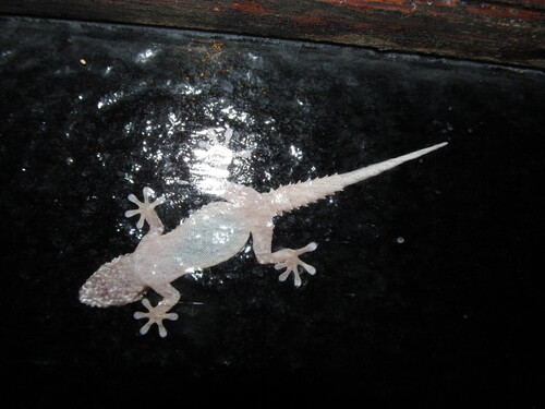
Tarentola mauritanica mauritanica
Tarentola mauritanica mauritanica
Seen 2026-09-18
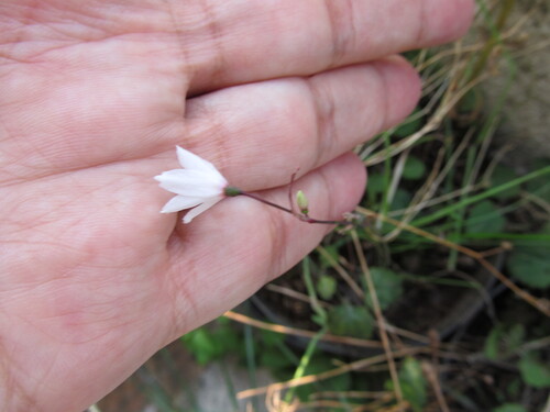
Autumn Snowflake
Acis autumnalis
Seen 2026-09-18
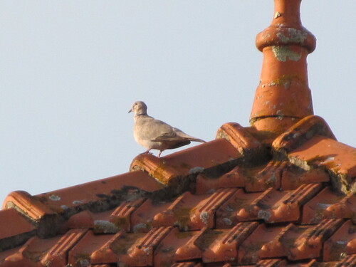
Eurasian Collared-Dove
Streptopelia decaocto
Seen 2026-09-18
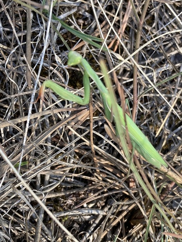
European Mantis
Mantis religiosa
Seen 2026-09-18
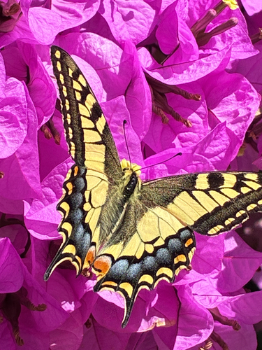
Old World Swallowtail
Papilio machaon
Seen 2026-09-18
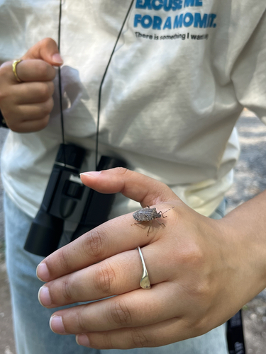
Brown Marmorated Stink Bug
Halyomorpha halys
Seen 2026-09-18
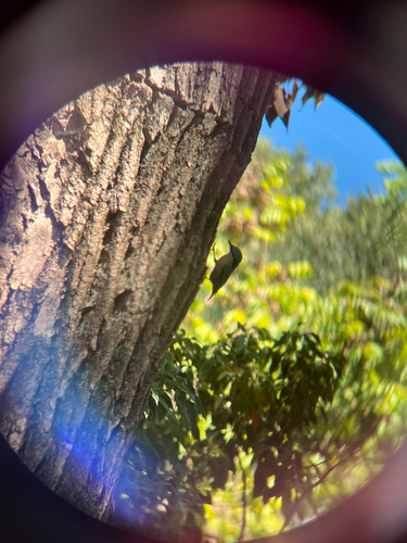
Eurasian Nuthatch
Sitta europaea
Seen 2026-09-18
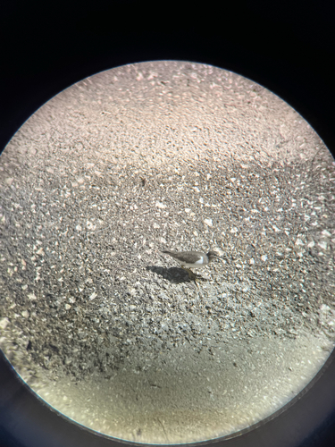
Common Sandpiper
Actitis hypoleucos
Seen 2026-09-18
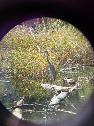
Grey Heron
Ardea cinerea
Seen 2026-09-18
Research-grade observations from iNaturalist (within ~15 mi).
Events
Gallery
Sources
- • Wikipedia
- • Wikidata
- • iNaturalist
- • Open-Meteo / sunrise-sunset.org
- • Wikipedia Pageviews API