Browse / Portugal / Coimbra / Assafarge
Assafarge
Coimbravillage

Assafarge
Demographic figures from INE Portugal. Overview below cites Wikipedia and may reference a different year.
City facts
Facts from Wikidata (CC0).
Overview
Assafarge is a former civil parish in the southern part of the municipality of Coimbra, Portugal. In 2013, the parish merged into the new parish Assafarge e Antanhol. It has a population of 2268 inhabitants and occupies an area of 9.72 km2 (3.75 sq mi).
Read more on WikipediaHistory & geography
History
The earliest histories of this region include the discovery of a polished stone implement, although there are no records prior to Roman intersession in the territory. The unearthing, between the localities of Carvalhais de Cima and Carvalhais de Baixo, of several irregular cavities allude to Moorish influence in the zone. It is also likely that local peoples may have dugout these holes in order to discover the treasure of the Moors, which they assumed was buried in the spaces. The local toponymy had its base in these early Arab settlers; the name, sometimes written as Açafarge, Açafargel, Safarge, Assafarja, Azofargelas, Azofarge, Asafarge, Assofragea or Alçoforge, may have originated from the Arabic Açafargel (plural Açafarge), which refers to the pome fruit quince. Evidence from historical documents suggest that the parish was founded around the 12th century (although no definitive record exists), and originated from its de-annexation (in 1120) from the neighbouring parish of Castelo Viegas.
Geography
The civil parish is located along the southern border of the municipality of Coimbra, with the municipality of Condeixa-a-Nova (civil parish of Bem da Fé and Vila Seca). Its municipal neighbours include the parishes of Almalaguês (to the southeast), Castelo Viegas (to the northeast), Santa Clara (in the north), Antanhol (in the northwest), and Cernache (in the southwest). Situated on a hilltop plateau overlooking the Mondego River, the region is marked by limestone hills covered in pine forests, dispersed by vineyards. By the end of the 20th century, the growth of the parish originated in its proximity to Coimbra; the resident population in 1981 was 1,714, grew slightly to 1,886 (in 1991), reaching approximately 2,200 inhabitants by 1998.
Excerpted from the corresponding Wikipedia article (CC BY-SA).
Geography
Coordinates & boundaries from the US Census TIGER/Line shapefiles.
Climate
Air quality
Walkability
Amenities nearby
Wildlife & biodiversity
Most-observed species
- Eurasian BlackbirdTurdus merula Linnaeus, 1758 · Aves1,937
- European RobinErithacus rubecula (Linnaeus, 1758) · Aves1,716
- House SparrowPasser domesticus (Linnaeus, 1758) · Aves1,670
- Silver wattle, Blue wattle, MimosaAcacia dealbata Link · Magnoliopsida1,654
- Carrion CrowCorvus corone Linnaeus, 1758 · Aves1,387
- Eurasian BlackcapSylvia atricapilla (Linnaeus, 1758) · Aves1,379
- European GreenfinchChloris chloris (Linnaeus, 1758) · Aves1,284
- European SerinSerinus serinus (Linnaeus, 1766) · Aves1,274
Citizen-science & research observations from the Global Biodiversity Information Facility (GBIF).
Earthquake history
Most recent
- M 2.6 — 2020-04-1911 km ENE of Pombal, Portugal
- M 3.6 — 2017-02-014 km WSW of Porto de Mós, Portugal
- M 3.9 — 2005-12-011 km ESE of Soure, Portugal
- M 2.6 — 2005-07-0210 km N of Atalaia, Portugal
- M 2.6 — 2004-05-121 km E of Sandim, Portugal
- M 2.7 — 2002-04-1513 km E of Macieira de Cambra, Portugal
Events from the USGS Earthquake Catalog (global) (FDSN Event Web Service).
Photos
Sights & places nearby
Notable people from here


People born within ~10 km, from Wikidata (CC0). Click any name for their Wikipedia article.
Nearby places in Coimbra
Geography & sun
Elevation, sunrise/sunset and daylight from Open-Meteo. Solar climatology from NASA POWER.
Nearby airports
Public attention
Pageview totals from the Wikimedia Pageviews API.
Books about this place
Recent natural events nearby
Ground air-quality sensors
Recently spotted species
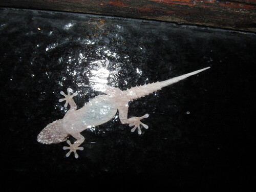
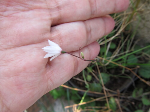
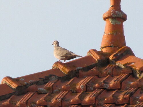
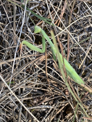
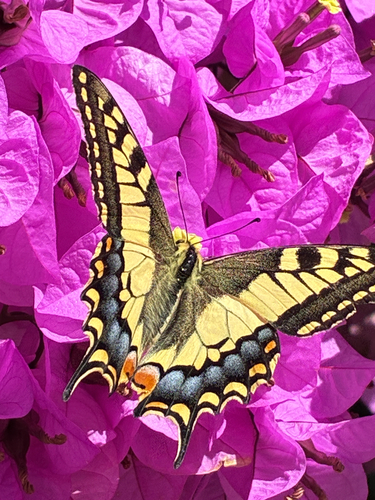
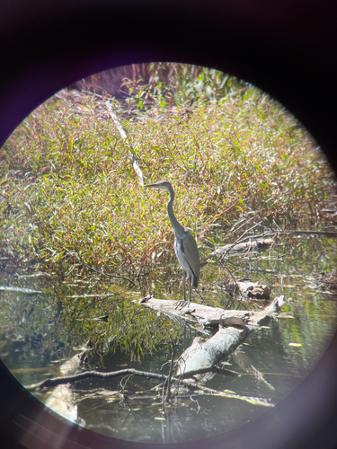
Research-grade observations from iNaturalist (within ~15 mi).
Events
Gallery
Sources
- • Wikipedia
- • Wikidata
- • USGS Earthquake Catalog (global feed)
- • GBIF (Global Biodiversity Information Facility)
- • iNaturalist
- • Open-Meteo / sunrise-sunset.org
- • Wikipedia Pageviews API