Browse / Portugal / Braga / Braga
Braga
Bragacity

Braga
Total population
136,885
Air quality index
Demographic figures from INE Portugal. Overview below cites Wikipedia and may reference a different year.
City facts
Facts from Wikidata (CC0).
Overview
Braga is a city and a municipality, capital of the northwestern Portuguese district of Braga and of the historical and cultural Minho Province. Braga Municipality had a resident population of 212 635 inhabitants. Its area is 183.40 km2. Its agglomerated urban area extends to the Cávado River and is the third most populated urban area in Portugal, behind Lisbon and Porto Metropolitan Areas.
Read more on WikipediaHistory & geography
History
Human occupation of the region of Braga dates back thousands of years, documented by vestiges of monumental structures starting in the Megalithic era. During the Iron Age, the Castro culture extended into the northwest, characterized by Bracari peoples who occupied the high ground in strategically located fortified settlements (castrum). The region became the domain of the Callaici Bracarii, a Celtic tribe who occupied what is now northern Portugal, Galicia and Asturias in the northwest of Iberia. The Romans began their conquest of the region around 136 BC, and finished it, by conquering the northern regions, during the reign of Emperor Augustus. The civitas of Bracara Augusta was founded in 16 BC; in the context of the administrative reorganization of these Roman acquisitions, Bracara was rededicated to the Emperor taking on the name Bracara Augusta. The city of Bracara Augusta developed greatly during the 1st century and reached its maximum extension around the 2nd century. Towards the end of the 3rd century, the Emperor Diocletian promoted the city to the status of capital of the administrative area Conventus bracarensis, the southwestern area of the newly founded Roman province of Gallaecia. The city was described as prosperous by the poet Ausonius, in the 4th century. Between 402 and 470 the Germanic Invasions of the Iberian Peninsula occurred, and the area was conquered by the Suebi, a Germanic people from Central Europe. According to records the city was protected by a wall, still in use since the 3rd century, and the old Roman amphitheatre was repurposed into a fortress. Galicia and Asturias, which they maintained as Gallaecia, and had Bracara as their capital. This kingdom was founded by Hermeric and lasted for over 150 years. However, the departure of the…
Geography
Situated in the heart of Minho, Braga is located in a transitional region between the east and west: between mountains, forests, grand valleys, plains and fields, constructing natural spaces, moulded by human intervention. Geographically, with an area of it is bordered in the north by the municipalities of Vila Verde and Amares, northeast and east by Póvoa de Lanhoso, south and southeast with Guimarães and Vila Nova de Famalicão and west by the municipality of Barcelos. The topography in the municipality is characterized by irregular valleys, interspersed by mountainous spaces, fed by rivers running in parallel with the principal rivers. In the north it is limited by the Cávado River, in the south by terrain of the Serra dos Picos to a height of and towards the east by the Serra dos Carvalhos to a height of , opening to the municipalities of Vila Nova de Famalicão and Barcelos. The territory extends from the northeast to southwest, accompanying the valleys of the two rivers, fed by many of its tributaries, forming small platforms between and . The municipality lies between and , with the urbanized centre located at approximately . In the north, where the municipality is marked by the Cavado, the terrain is semi-planar, the east is mountainous owing to the Serra do Carvalho , Serra dos Picos , Monte do Sameiro and Monte de Santa Marta . Between the Serra do Carvalho and Serra dos Picos is the River Este, forming the valley of Vale d’Este. Similarly, between the Serra dos Picos and Monte do Sameiro, there exists the plateau of Sobreposta-Pedralva. To the south and west, the terrain is a mix of mountains, plateaus and medium-size valleys, permitting the passage of the River Este, and giving birth to other confluences including the River Veiga, River Labriosca and…
Excerpted from the corresponding Wikipedia article (CC BY-SA).
Geography
Coordinates & boundaries from the US Census TIGER/Line shapefiles.
Climate
Air quality
Current readings from Open-Meteo Air Quality API (Copernicus CAMS European reanalysis).
Walkability
Amenities nearby
Wildlife & biodiversity
Earthquake history
Most recent
- M 3.3 — 2015-05-021 km WSW of Arcos, Portugal
- M 3.1 — 2010-10-247 km NE of Redondela, Spain
- M 2.5 — 2008-11-216 km ESE of Ponteareas, Spain
- M 2.7 — 2007-08-064 km WSW of Ponteareas, Spain
- M 2.7 — 2007-06-013 km W of Cangas do Morrazo, Spain
- M 2.6 — 2007-05-072 km SSE of Cartelle, Spain
Events from the USGS Earthquake Catalog (global) (FDSN Event Web Service).
Photos
Sights & places nearby
Notable people from here


People born within ~10 km, from Wikidata (CC0). Click any name for their Wikipedia article.
Geography & sun
Elevation, sunrise/sunset and daylight from Open-Meteo. Solar climatology from NASA POWER.
Nearby airports
Public attention
Pageview totals from the Wikimedia Pageviews API.
Books about Braga



Search results from Open Library.
Recent natural events nearby
Ground air-quality sensors
Recently spotted species
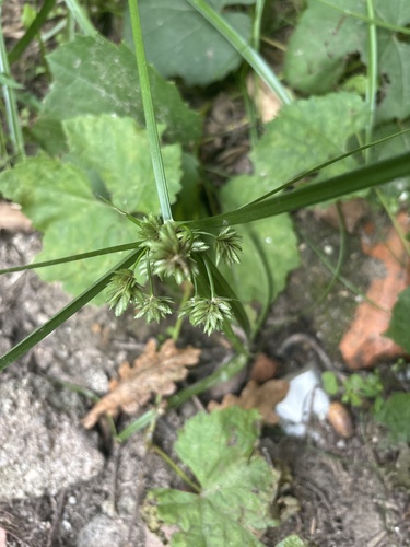
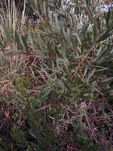
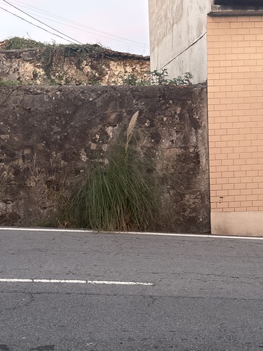
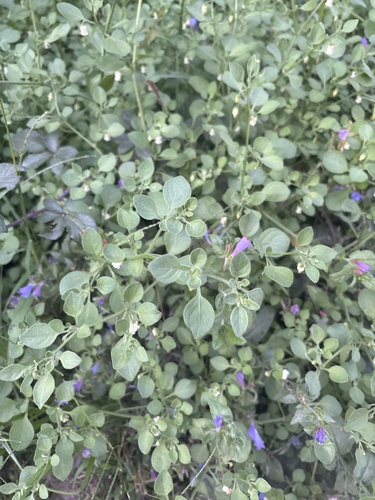
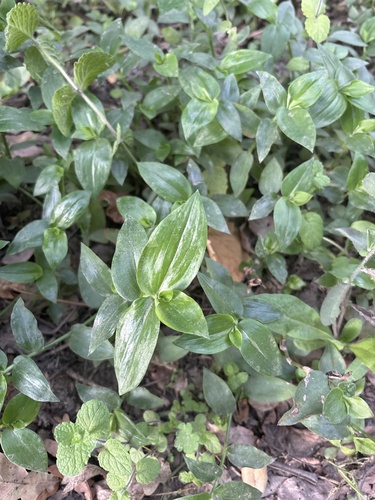
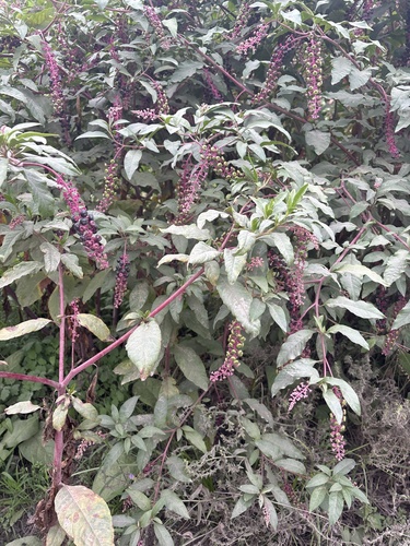
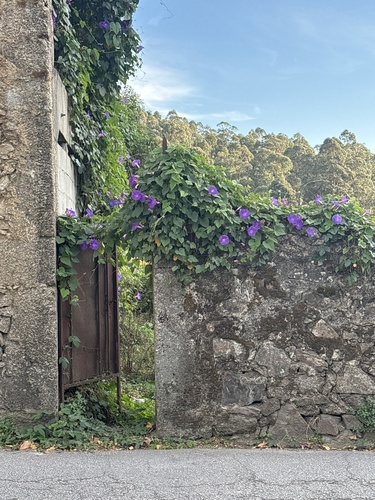
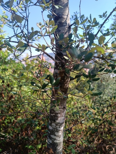
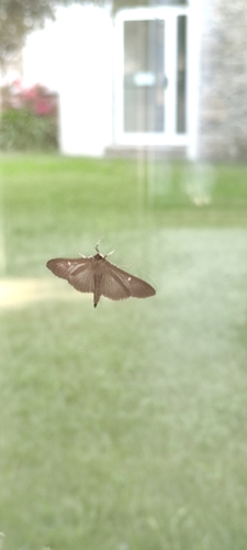
Research-grade observations from iNaturalist (within ~15 mi).
Events
Notable, recurring, and historical events associated with Braga, sourced from Wikidata.
- Organ Festival of Bragarecurring event
Source: Wikidata (CC0).
Gallery
Sources
- • Wikipedia
- • Wikidata
- • Open-Meteo Air Quality (CAMS)
- • USGS Earthquake Catalog (global feed)
- • iNaturalist
- • Open-Meteo / sunrise-sunset.org
- • Wikipedia Pageviews API
- • Open Library
- • Wikidata SPARQL (CC0) — population, area, elevation, inception, head of government, Commons image