Browse / Portugal / Leiria / Caldas da Rainha
Caldas da Rainha
Leiriacity

Caldas da Rainha
Total population
30,343
Demographic figures from INE Portugal. Overview below cites Wikipedia and may reference a different year.
City facts
Facts from Wikidata (CC0).
Overview
Caldas da Rainha is a medium-sized Portuguese city in the Oeste region, in the historical province of Estremadura, and in the district of Leiria. The city serves as the seat of the larger municipality of the same name and of the Comunidade Intermunicipal do Oeste. At the 2011 census, the municipality had a population of 51,729 in an area of 255.69 square kilometres (98.72 sq mi), with 30,343 residing in the city. Although the city itself lies about 10.5 kilometres (6.5 mi) inland, three of the municipality's civil parishes lie on the Atlantic Ocean. Caldas da Rainha is best known for its sulphurous hot springs and ceramic pottery.
Read more on WikipediaHistory & geography
History
Caldas da Rainha was part of the ancient region Lusitania, inhabited by ancient Romans who took advantage of sulphurous waters sprouting in the region. Barbarian invasions destroyed most of the Roman-built baths. By the 13th century, the springs were known as "caldas de Óbidos", after the nearby town. At this time, a Benedictine order looked after the needs of the poor and cared for the lepers and rheumatics, who sought the healing waters. With the disbandment of the order by the 15th century, the area fell into disrepair. Queen Leonor (Rainha Dona Leonor, in Portuguese), the wife of King João II, is credited as the founder of Caldas da Rainha. Construction began the following year, and although the first patients were admitted in 1488, the works were not completed until about 1496 or 1497. To finance the hospital and its adjoining church, the queen sold her jewels and used income from her landholdings. "Queen's Spa", or "Queen's Baths". The settlement's waters remain its major claim to fame. On 21 March 1511, King Manuel I, brother of Queen Leonor, In 1821, it was made a municipality (concelho or município). In 1901 and 1902, Caldas da Rainha welcomed 350 Boer men, women, and children who sought refuge from the ravages of the Second Boer War in their South African homeland. Initially housed in the thermal hospital, the refugees were transferred to the park pavilions at the onset of the bathing season. Some rented rooms in town, marveling at the low rates. During World War I, in which Portugal joined the Allies, Caldas had one of three internment camps in the country. In 1916, most Germans in Portugal were deported, but men aged 15–45 were imprisoned to prevent their joining the German military. Originally, all of the approximately 700 prisoners were shipped to…
Geography
Caldas da Rainha, often shortened to just "Caldas", is located in western central Portugal at . The city lies approximately as the crow flies, or by the A8 motorway, north of the Portuguese capital, Lisbon. Although three of the municipality's civil parishes—Foz do Arelho, Salir do Porto, and Serra do Bouro—lie on the Atlantic Ocean, the city proper lies about from the ocean via the N360 road to Foz do Arelho. The municipality of Caldas da Rainha comprises an area of . At its lowest point, the municipality lies at sea level, Caldas da Rainha is the seat of the Comunidade Intermunicipal do Oeste (OesteCIM, Intermunicipal Community of the West). For statistical purposes, Caldas is in the NUTS III Oeste (West) subregion—coterminous with OesteCIM—within the NUTS II Centro (Centre) region, which is part of the NUTS I division called Continente (Continental, or Mainland, Portugal). The municipality is part of the Comissão de Coordenação e Desenvolvimento Regional de Lisboa e Vale do Tejo (CCDR LVT, Regional Commission for Coordination and Development of Lisbon and Tagus Valley). Caldas da Rainha belongs to the historical province of Estremadura and to the district of Leiria. Along with the rest of Continental Portugal, Caldas da Rainha is in the Western European time zone (UTC±00:00), observing Western European Summer Time (UTC+01:00) from late March to late October. and its telephone area code is 262. Caldas da Rainha has 12 freguesias (civil parishes). Before 29 January 2013, Caldas had 16 civil parishes. On that date, a law came into effect causing the number of civil parishes throughout the country to be reduced. Seven of the municipality's civil parishes were combined into three new "unions of civil parishes" (uniões de freguesias, singular: união de freguesias).…
Excerpted from the corresponding Wikipedia article (CC BY-SA).
Geography
Coordinates & boundaries from the US Census TIGER/Line shapefiles.
Climate
Air quality
Walkability
Amenities nearby
Wildlife & biodiversity
Earthquake history
Photos
Sights & places nearby
Notable people from here


People born within ~10 km, from Wikidata (CC0). Click any name for their Wikipedia article.
Nearby places in Leiria
- Mala Črešnjevica1401.5 mi away · pop. 199
- Grabrovnica1402.9 mi away · pop. 405
- Velika Črešnjevica1402.9 mi away · pop. 515
- Sedlarica1403.6 mi away · pop. 363
- Kladare1404.4 mi away · pop. 467
- Otrovanec1404.6 mi away · pop. 624
- Turnašica1404.6 mi away · pop. 333
- Vukosavljevica1405.1 mi away · pop. 679
- Stari Gradac1408.5 mi away · pop. 674
- Novi Antunovac1408.6 mi away · pop. 103
- Bušetina1411.3 mi away · pop. 815
- Milanovac1411.7 mi away · pop. 1,515
Geography & sun
Elevation, sunrise/sunset and daylight from Open-Meteo. Solar climatology from NASA POWER.
Nearby airports
Public attention
Pageview totals from the Wikimedia Pageviews API.
Books about Caldas da Rainha
Search results from Open Library.
Recent natural events nearby
Ground air-quality sensors
Recently spotted species
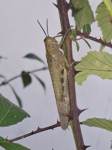
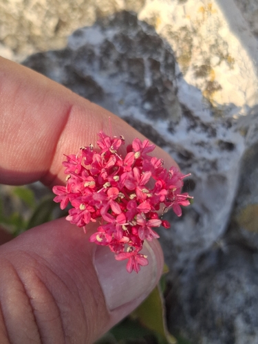
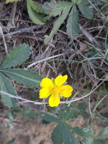
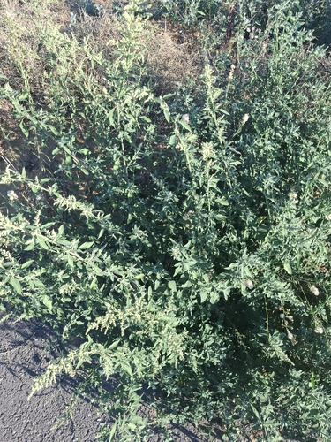
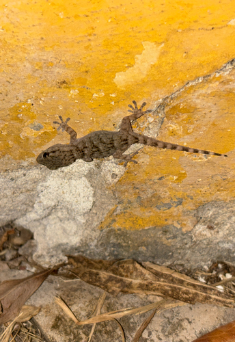
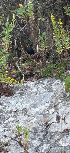
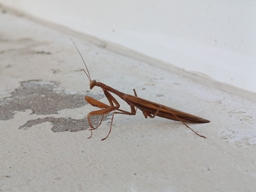
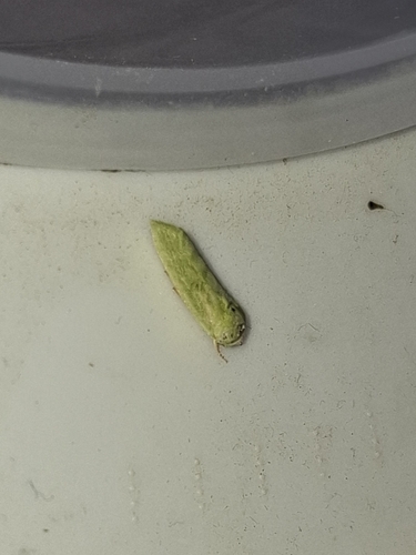
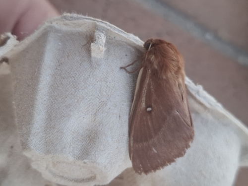
Research-grade observations from iNaturalist (within ~15 mi).
Events
Gallery
Official Identifiers
INE Portugal
- INE ID
- 1006
- Population (Wikidata)
- 51,729
- Wikidata
- Q275689
INE ID via Wikidata P6324
Sources
- • Wikipedia
- • Wikidata
- • iNaturalist
- • Open-Meteo / sunrise-sunset.org
- • Wikipedia Pageviews API
- • Open Library
- • Wikidata SPARQL (CC0) — population, area, elevation, inception, head of government, Commons image
- • INE Portugal — INE ID via Wikidata P6324