Browse / Portugal / Évora / Estremoz
Estremoz
Évoracity

Estremoz
Total population
6,635
Demographic figures from INE Portugal. Overview below cites Wikipedia and may reference a different year.
City facts
Overview
Estremoz is a municipality in Portugal. The population in 2011 was 14,318, in an area of 513.80 km2. The city Estremoz itself had a population of 7,682 in 2001. It is located in the Alentejo region.
Read more on WikipediaHistory & geography
History
The region around Estremoz has been inhabited since pre-historic times. There are also vestiges of Roman, Visigoth and Muslim occupation. During the Reconquista, Estremoz was captured in the 12th century by the army of knight Geraldo Sem Pavor (Gerald the Fearless), who had also conquered neighbouring Évora. However, Estremoz was soon retaken by the Moors and only in the mid-13th century was it reconquered by the Portuguese King Sancho II. An important strategic site between the Kingdoms of Portugal and Castile, Estremoz received a charter (fuero) in 1258 from Afonso III after the Moors were driven out a second time, which promoted Christian colonization in the area. King Dinis rebuilt the castle as a royal palace, further promoting the area. His widow, Dowager Queen Elizabeth of Portugal, died in Estremoz castle on July 4, 1336, shortly after mediating a peace treaty between her son Alfonso IV of Portugal and grandson Alfonso XI of Castile. Her grandson Pedro I of Portugal died in the Franciscan monastery at Estremoz in 1367. During the 1383–1385 Crisis, Nuno Álvares Pereira established his headquarters in Estremoz, then defeated the Castilian forces at the Battle of Atoleiros. During the Portuguese Restoration War (1640–1668), Portuguese forces (including from Estremoz) defeated the Castilians in the nearby and decisive Battles of Ameixial (1663) and Montes Claros (1665).
Geography
Administratively, the municipality is divided into 9 civil parishes (freguesias): * Ameixial (Santa Vitória e São Bento) * Arcos * Estremoz (Santa Maria e Santo André) * Évora Monte (Santa Maria) * Glória * São Bento do Cortiço e Santo Estêvão * São Domingos de Ana Loura * São Lourenço de Mamporcão e São Bento de Ana Loura * Veiros
Excerpted from the corresponding Wikipedia article (CC BY-SA).
Geography
Coordinates & boundaries from the US Census TIGER/Line shapefiles.
Climate
Air quality
Walkability
Amenities nearby
Wildlife & biodiversity
Earthquake history
Photos
Sights & places nearby
Notable people from here
Nearby places in Évora
- São Bento do Ameixial3.5 mi away · pop. 91
- Arcos3.9 mi away · pop. 767
- São Lourenço de Mamporcão4 mi away · pop. 358
- São Bento do Cortiço5.7 mi away · pop. 519
- Santa Vitória do Ameixial6.1 mi away · pop. 132
- Santo Estevão6.3 mi away · pop. 19
- Rio de Moinhos6.7 mi away · pop. 928
- Veiros8.9 mi away · pop. 815
- Pardais13.1 mi away · pop. 380
- Vimieiro13.6 mi away · pop. 1,129
- Alandroal13.9 mi away · pop. 1,382
- Vale do Pereiro14.1 mi away · pop. 172
Geography & sun
Elevation, sunrise/sunset and daylight from Open-Meteo. Solar climatology from NASA POWER.
Nearby airports
Public attention
Pageview totals from the Wikimedia Pageviews API.
Books about Estremoz
Search results from Open Library.
Recent natural events nearby
Ground air-quality sensors
Recently spotted species
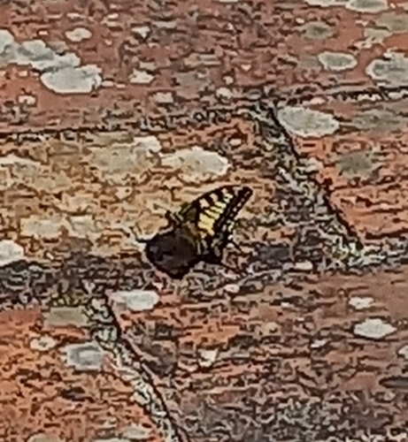
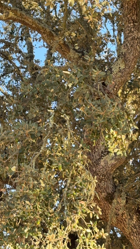
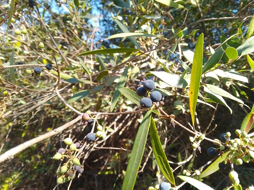
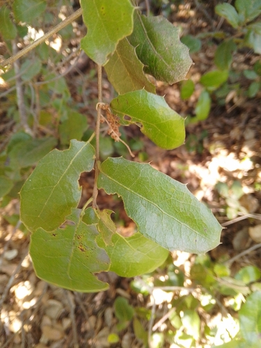
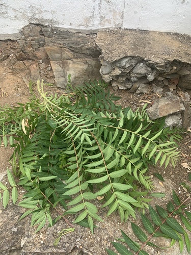
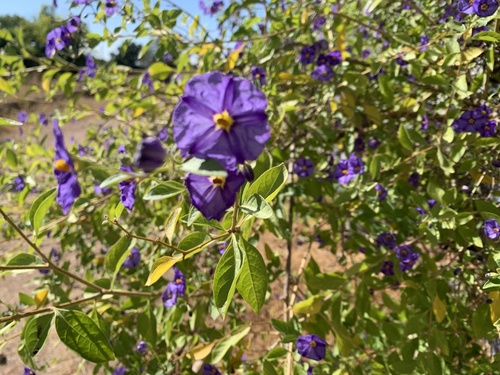
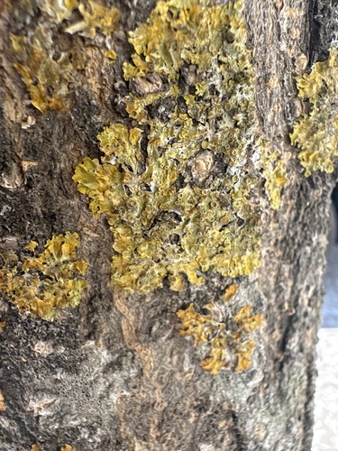
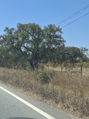
Research-grade observations from iNaturalist (within ~15 mi).
Events
Gallery
Official Identifiers
INE Portugal
- INE ID
- 0704
- Population (Wikidata)
- 14,318
- Wikidata
- Q625157
INE ID via Wikidata P6324
Sources
- • Wikipedia
- • iNaturalist
- • Open-Meteo / sunrise-sunset.org
- • Wikipedia Pageviews API
- • Open Library
- • Wikidata SPARQL (CC0) — population, area, elevation, inception, head of government, Commons image
- • INE Portugal — INE ID via Wikidata P6324