Browse / Portugal / Faro / Faro
Faro
Farocity

Faro
Total population
41,904
Founded
1266
Air quality index
Demographic figures from INE Portugal. Overview below cites Wikipedia and may reference a different year.
City facts
Facts from Wikidata (CC0).
Overview
Faro, officially the City of Faro, is a city and a municipality in southern Portugal. It is the capital of both the Algarve region and the Faro District, as well as the southernmost city on the Portuguese mainland. Faro municipality covers an area of 202.57 km2 (78.21 sq mi) and, as of 2024, had 70,347 inhabitants, making it the second most populous municipality in the Algarve after Loulé. The city proper had 46,299 inhabitants in 2021, the largest urban population in the region. Faro lies on the shore of the Ria Formosa lagoon, a protected nature reserve and hosts the region’s international airport and university.
Read more on WikipediaHistory & geography
History
The Ria Formosa lagoon attracted humans from the Palaeolithic age until the end of prehistory. The first settlements date from the fourth century BC, during the period of Phoenician colonization of the western Mediterranean. At the time, the area was known as Ossonoba, and was the most important urban centre of southern Portugal and commercial port for agricultural products, fish, and minerals. led by Yahia Ben Bakr who was succeeded in office by his son, Bakr Ben Yahia, it became the capital of a short-lived princedom and was fortified with a ring of defensive walls. During the 500 years of Moorish rule, some Jewish residents of Faro made written copies of the Old Testament. The Moors were defeated and expelled in 1249 by the forces of the Portuguese King Afonso III. With the decline of the importance of the city of Silves (which was made the regional bishopric as Diocese of Silves shortly during and properly after the Reconquista), Faro took over the role of administration of the Algarve area. After Portuguese independence in 1143, Afonso Henriques and his successors began an expansion and Christian repopulation into the southern Iberian territory which had previously been occupied by the Moors. Following the conquest by D. Afonso III, in 1249, the Portuguese referred to the town as Santa Maria de Faaron or Santa Maria de Faaram. In the following years, the town became prosperous, due to its secure port and exploitation of salt. Consequently, by the beginning of the Portuguese Age of Discovery, the town was well positioned to become a leading commercial centre. In the 14th century, the Jewish community began to grow in importance. In 1487, Samuel Gacon began printing the Pentateuco in Hebrew, the first book printed in Portugal. The Jewish community of Faro had…
Geography
The municipality of Faro is divided into two distinct areas, the coastline, part of the Nature Park of Ria Formosa and the barrocal, characterized by hills and valleys, populated with typical Algarvian vegetation. The coastal area includes the Praia de Faro community on the Ancão Peninsula and the Barreta and Culatra islands. The nature park was created by Decree-Law 373/87, on 8 December 1987, and is considered one of the seven natural wonders of Portugal, with a beach that is around from the downtown. It includes the river and a lagoon system, interspersed with dunes, forming a small islands and peninsulas, that protect a large area of marshes, channels, and islets. The variety of species and natural conditions result in the region being a popular ecotourism zone, promoting birdwatching, boating trips into the delta, kayaking along the Ria Formosa, pedestrian trails, and biking tours, accompanied by nature guides. The municipality is crossed by the southern Ecovia do Algarve, a bicycling circuit that connects the Algarve to the rest of Europe. and the annual rainfall is around , however in recent years, rainfall has diminished, even reaching as low as in 2019, During the summer months, tropical nights are common and, on average, Faro has 45 tropical nights per year, which is the highest in Portugal. Faro has the highest minimum temperature ever recorded in Portugal, which was on 26 July 2004. With over 3000 hours of sunshine a year, Faro is often regarded as one of the sunniest cities in Europe, alongside nearby Tavira. July and August have the most sunshine, while December has the least. Administratively, the municipality is divided into five civil parishes (freguesias): * Faro (Sé e São Pedro) * Conceição * Estoi * Montenegro * Santa Bárbara de Nexe
Excerpted from the corresponding Wikipedia article (CC BY-SA).
Geography
Coordinates & boundaries from the US Census TIGER/Line shapefiles.
Climate
Air quality
Current readings from Open-Meteo Air Quality API (Copernicus CAMS European reanalysis).
Walkability
Amenities nearby
Wildlife & biodiversity
Most-observed species
- House SparrowPasser domesticus (Linnaeus, 1758) · Aves10,347
- Sardinian WarblerCurruca melanocephala (J.F.Gmelin, 1789) · Aves9,530
- Eurasian BlackbirdTurdus merula Linnaeus, 1758 · Aves9,041
- Little Egret/Western Reef-HeronEgretta garzetta (Linnaeus, 1766) · Aves8,265
- Yellow-legged GullLarus michahellis J.F.Naumann, 1840 · Aves7,884
- Iberian MagpieCyanopica cooki Bonaparte, 1850 · Aves7,726
- Eurasian Collared-DoveStreptopelia decaocto (Frivaldszky, 1838) · Aves7,666
- White StorkCiconia ciconia (Linnaeus, 1758) · Aves6,851
Citizen-science & research observations from the Global Biodiversity Information Facility (GBIF).
Earthquake history
Photos
Sights & places nearby
Notable people from here


People born within ~10 km, from Wikidata (CC0). Click any name for their Wikipedia article.
Nearby places in Faro
- Montenegro1.8 mi away · pop. 5,415
- Conceição3.3 mi away · pop. 636
- Quelfes6.9 mi away
- Moncarapacho9.4 mi away · pop. 1,192
- Vale Judeu11.3 mi away · pop. 716
- Monte Poço11.8 mi away · pop. 147
- Benfarras12.6 mi away · pop. 764
- Querença12.9 mi away · pop. 35
- Santo Estêvão14.3 mi away
- Boliqueime14.7 mi away · pop. 343
- Santa Luzia16.2 mi away · pop. 1,490
- Cabanas de Tavira20.2 mi away
Geography & sun
Elevation, sunrise/sunset and daylight from Open-Meteo. Solar climatology from NASA POWER.
Nearby airports
Public attention
Pageview totals from the Wikimedia Pageviews API.
Books about Faro






Search results from Open Library.
Recent natural events nearby
Ground air-quality sensors
Recently spotted species
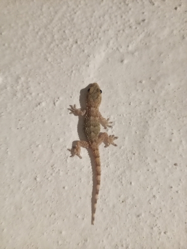
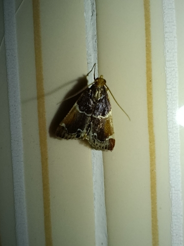
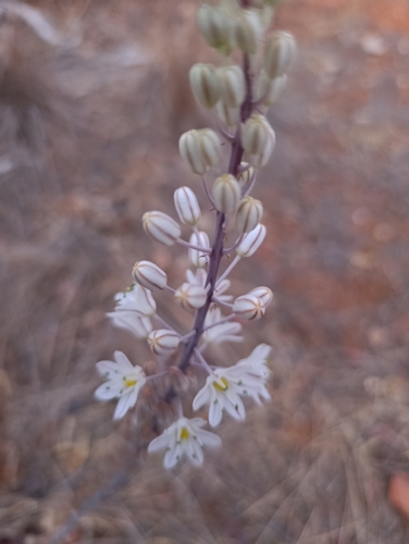
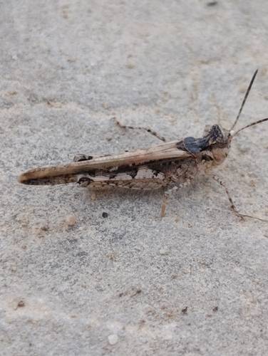
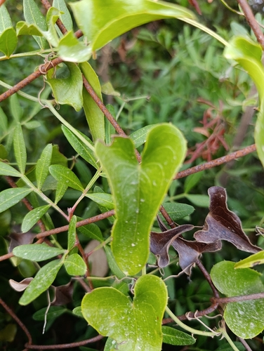
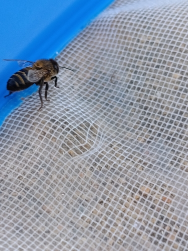
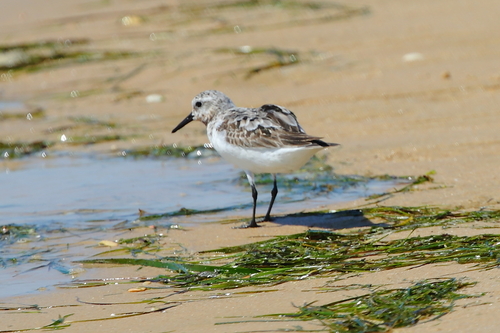
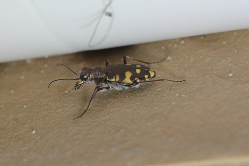
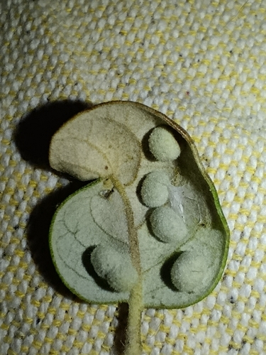
Research-grade observations from iNaturalist (within ~15 mi).
Events
Notable, recurring, and historical events associated with Faro, sourced from Wikidata.
- FolkFaro - Folclore internacional Cidade de Faroannual event
annual folklore festival in Faro, Portugal
Source: Wikidata (CC0).
Gallery
Sources
- • Wikipedia
- • Wikidata
- • Open-Meteo Air Quality (CAMS)
- • GBIF (Global Biodiversity Information Facility)
- • iNaturalist
- • Open-Meteo / sunrise-sunset.org
- • Wikipedia Pageviews API
- • Open Library
- • Wikidata SPARQL (CC0) — population, area, elevation, inception, head of government, Commons image