Browse / Portugal / Vila Real / Favaios
Favaios
Vila Realtown

Favaios
Demographic figures from INE Portugal. Overview below cites Wikipedia and may reference a different year.
City facts
Facts from Wikidata (CC0).
Overview
Favaios is a civil parish of the municipality of Alijó, in northern Portugal. The population in 2011 was 1,064, in an area of 21.45 km2. The region is known for its wines, namely, the moscatels like Moscatel de Favaios.
Read more on WikipediaHistory & geography
History
Favaios was occupied by Roman legions between 218 BCE and 201 BCE, who took it from the tribes of Lusitanians and Hispanic clans. The founders came from the families and relations of the Flavian dynasty, of Imperial Rome, who rose to prominence after Emperor Titus Flavius Caesar Vespasianus Augustus. The parish's name is derived from Flávios, a corruption of the original name of this leader, Flavius . Roman Flávios belonged to a vast territory known as Panoias (not to be confused with modern-day Panoias which is a small community in the municipality of Braga). Ancient Panoias extended from the river Marão to the Tua River, and from the Douro River to the current site of Murça. The invasion of the Iberian peninsula by Arabs reached the north, where the Moors took the Roman Castle of Flávias: it would later be remembered as the "Castelo dos Mouros” (). This occupation forced the locals to escape the region and re-established settlements away from Favaios: half the population took refuge in the area that would be renamed São Bento. From this new colony the Portuguese battled the Moors of Favaios; after the expulsion of the Moors the region was covered in the destruction of these battles. The destruction lead to a slow reconstruction of Favaios. Favaios received in 1211 its Carta de Alforria (Charter of liberty/freedom) from King Afonso II, and its foral (charter) in 1270 by Afonso III (which was later confirmed in 1284 by King Denis). Strangely, during the reign of Manuel I the charter was revoked in 1514, to be reinstituted the following year, ordering that the local fountain be marked with the Royal shield over an armillary sphere, surmounted by a crown.
Geography
With an area of 21.45 km2, Favaios is located along a plateau in the Trás-os-Montes e Alto Douro province, district headed by Vila Real de Trás-os-Montes city.
Excerpted from the corresponding Wikipedia article (CC BY-SA).
Geography
Coordinates & boundaries from the US Census TIGER/Line shapefiles.
Climate
Air quality
Walkability
Amenities nearby
Wildlife & biodiversity
Earthquake history
Photos
Sights & places nearby
Notable people from here


People born within ~10 km, from Wikidata (CC0). Click any name for their Wikipedia article.
Nearby places in Vila Real
- Carrazedo de Montenegro20.8 mi away · pop. 1,620
- Vidago26.1 mi away · pop. 1,204
- Vila Verde da Raia36.4 mi away · pop. 993
- Djelfa741.2 mi away · pop. 289,226
- Faidh El Botma770.5 mi away · pop. 32,501
- Maguied770.9 mi away
- Haniet Kaabacha772.6 mi away
- El Hania Ouled Salem773.3 mi away
- El Gahra777 mi away
- Mehache780.9 mi away · pop. 100
- عمورة ⵄⴻⵎⵓⵔⴰ782.6 mi away
- عين وزغار ⵄⵉⵏ ⵡⴻⵥⵖⴰⵔ785.6 mi away
Geography & sun
Elevation, sunrise/sunset and daylight from Open-Meteo. Solar climatology from NASA POWER.
Nearby airports
Public attention
Pageview totals from the Wikimedia Pageviews API.
Books about this place
Recent natural events nearby
Ground air-quality sensors
Recently spotted species
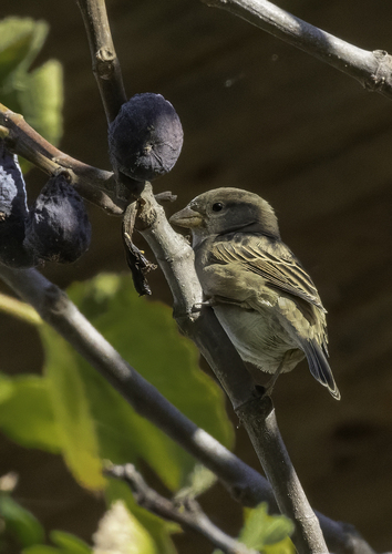
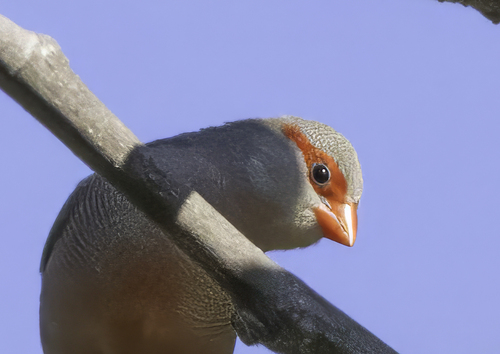
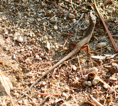
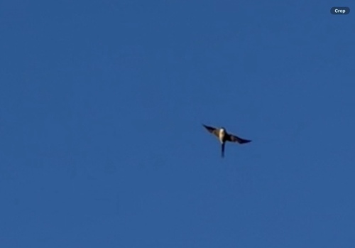
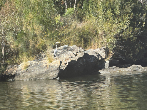
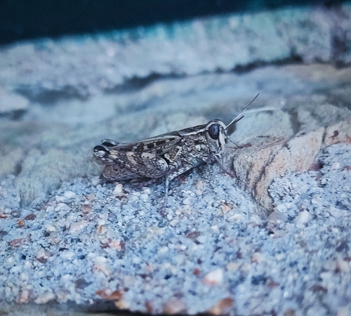
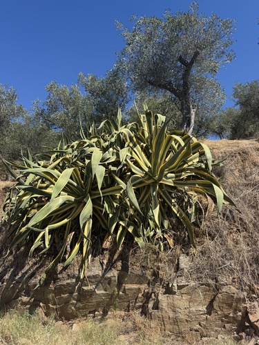
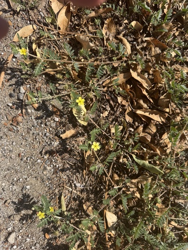
Research-grade observations from iNaturalist (within ~15 mi).
Events
Gallery
Official Identifiers
INE Portugal
- INE ID
- 170107
- Population (Wikidata)
- 937
- Wikidata
- Q168690
INE ID via Wikidata P6324
Sources
- • Wikipedia
- • Wikidata
- • iNaturalist
- • Open-Meteo / sunrise-sunset.org
- • Wikipedia Pageviews API
- • INE Portugal — INE ID via Wikidata P6324