Browse / Portugal / Braga / Lago
Lago
Bragavillage
No image yet
Total population
1,910
Coordinates41.61°, -8.42°
Demographic figures from INE Portugal. Overview below cites Wikipedia and may reference a different year.
Loading additional data from public sources…0 / 11
CensusWikipediaWeatherPlacesPeopleEnvironmentHealth & SchoolsRelatedGeography & CultureLive MonitoringEvents & Gallery
0% completeCity facts
Overview
Lago is a parish in Amares Municipality in the Braga District in Portugal. The population in 2011 was 1,910, in an area of 3.99 km².
Read more on WikipediaHistory & geography
Geography
Latitude
41.6126
Longitude
-8.4174
Water area
—
Coordinates & boundaries from the US Census TIGER/Line shapefiles.
Climate
Air quality
Walkability
Amenities nearby
Wildlife & biodiversity
Earthquake history
Photos
Sights & places nearby
Notable people from here
Nearby places in Braga
- Ksar El Hirane830.3 mi away
- Hassi Delaa865.1 mi away · pop. 11,204
- Hassi R'Mel876.9 mi away · pop. 22,133
- Brnjavac1238.1 mi away · pop. 93
- Malička1238.4 mi away · pop. 43
- Podgorje1239.4 mi away · pop. 150
- Stipan1240.1 mi away · pop. 50
- Dugo Selo Lasinjsko1240.8 mi away · pop. 46
- Kirin1241.5 mi away · pop. 52
- Šljivovac1241.6 mi away · pop. 32
- Kozarac1242 mi away
- Katinovac1242 mi away · pop. 90
Geography & sun
Avg solar (kWh/m²/day)
4.39
Annual solar (kWh/m²)
1,604
Elevation, sunrise/sunset and daylight from Open-Meteo. Solar climatology from NASA POWER.
Nearby airports
Public attention
Wikipedia views (last 30 days)
21
Avg daily Wikipedia views
1
Attention level
Obscure
Pageview totals from the Wikimedia Pageviews API.
Books about Lago
Computational Science and Its Applications - ICCSA 2026
Osvaldo Gervasi · 2026
Praias do Rio
Bia Corrêa do Lago · 2005
Busca; Talvez!...
Barrozo Braga · 2014
Computational Science and Its Applications - ICCSA 2026 Workshops
Osvaldo Gervasi · 2026

Dinamismo e Clareza no Planejamento em Ciências da Saúde 5
ADRIANA CRISTINA FRANCO · 2021

Transferring wealth and power from the old to the new world
Michael D Bordo · 2001

Let's go
Marykate Jasper · 2011
Pororoca
Paulo Herkenhoff · 2014
Search results from Open Library.
Recent natural events nearby
Ground air-quality sensors
Recently spotted species
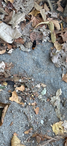
Yellow-legged Hornet
Vespa velutina
Seen 2026-09-20
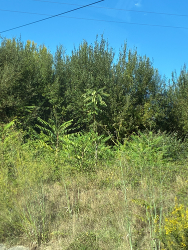
tree-of-heaven
Ailanthus altissima
Seen 2026-09-19
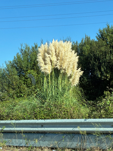
Pampas Grass
Cortaderia selloana
Seen 2026-09-19
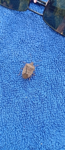
Brown Marmorated Stink Bug
Halyomorpha halys
Seen 2026-09-19
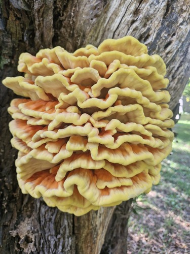
chicken of the woods
Laetiporus sulphureus
Seen 2026-09-19
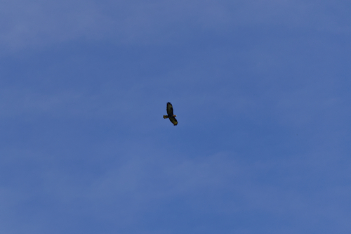
Common Buzzard
Buteo buteo
Seen 2026-09-18
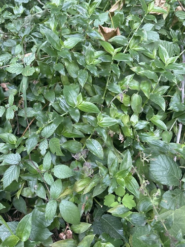
Rio Spiderwort
Tradescantia fluminensis
Seen 2026-09-17
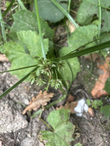
tall flatsedge
Cyperus eragrostis
Seen 2026-09-17
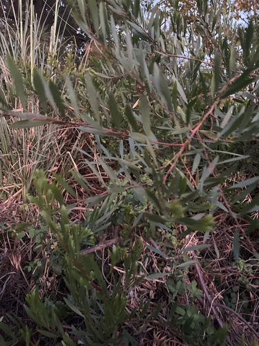
Longleaf Wattle
Acacia longifolia
Seen 2026-09-16
Research-grade observations from iNaturalist (within ~15 mi).
Events
Gallery
Official Identifiers
INE Portugal
- INE ID
- 030113
- Population (Wikidata)
- 1,824
- Wikidata
- Q1022889
INE ID via Wikidata P6324
Sources
- • Wikipedia
- • iNaturalist
- • Open-Meteo / sunrise-sunset.org
- • Wikipedia Pageviews API
- • Open Library
- • Wikidata SPARQL (CC0) — population, area, elevation, inception, head of government, Commons image
- • INE Portugal — INE ID via Wikidata P6324