Browse / Portugal / Madeira / Maroços
Maroços
Madeiravillage
Demographic figures from INE Portugal. Overview below cites Wikipedia and may reference a different year.
City facts
Overview
Found in Madeira, Portugal, Maroços is classified as a village in public datasets. Geographically it lies in the northern hemisphere at a warm temperate latitude (32.738°, -16.798°). No reliable population estimate is published for this entry in the open data we rely on. The latitude suggests warm summers and cool winters. Solar-resource estimates put the area at about 1,809 kWh/m² of solar irradiance per year with sunshine for roughly 71% of daylight hours. Detailed open-data panels follow, covering demographics, climate, geography, wildlife and nearby settlements.
Summary composed automatically from structured open data on this page. See our Terms for details.
History & geography
Geography
Coordinates & boundaries from the US Census TIGER/Line shapefiles.
Climate
Air quality
Walkability
Amenities nearby
Wildlife & biodiversity
Earthquake history
Photos
Sights & places nearby
Notable people from here
Geography & sun
Elevation, sunrise/sunset and daylight from Open-Meteo. Solar climatology from NASA POWER.
Nearby airports
Public attention
Books about Maroços
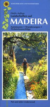
Search results from Open Library.
Recent natural events nearby
Ground air-quality sensors
Recently spotted species
Events
Gallery
Sources
- • Open-Elevation
- • Open-Meteo / sunrise-sunset.org
- • Open Library