Browse / Portugal / Porto / Matosinhos
Matosinhos
Portocity

Matosinhos
Total population
49,486
Demographic figures from INE Portugal. Overview below cites Wikipedia and may reference a different year.
City facts
Sister cities
Facts from Wikidata (CC0).
Overview
Matosinhos, officially the City of Matosinhos, is a city and a municipality in the district of Porto in Portugal. The municipality covers an area of approximately 62.42 square kilometres (24.10 mi2) and had 172,557 inhabitants in 2021. It is bordered by the municipalities of Porto to the south, Maia to the east and Vila do Conde to the north and the Atlantic Ocean lies to its west. It is a part of the Porto metropolitan area, the second largest urban area in Portugal.
Read more on WikipediaHistory & geography
History
The oldest traces of human settlement in this territory extend back thousands of years and include instruments and Paleolithic artifacts found in beaches such as Boa Nova and Almeiriga. The land's settlement began around 5000 years ago, during the Neolithic, as evidenced from various funeral monuments and dolmens in Lavra, , , , and São Gens. At the end of the Bronze Age, settlements expanded into castros, proto-urban agglomerations at high altitudes. These existed in the northwestern regions of the Iberian Peninsula and predominated until the 1st century. Remnants of castros remain throughout the municipality, the most notable being Castro of Monte Castelo in Guifões, by the estuary of the Leça river. Between the 5th and 7th centuries, the area became a part of the Kingdom of the Suebi and later the Visigothic Kingdom. During this period, Castro of Monte Castelo was abandoned, while the previous Roman settlement in Angeiras remained populated and included a monastery, as referred in the administrative document . In the 10th century, the Monastery of Bouças was founded in Bouças de Baixo, in the northeast of what is now the city of Matosinhos. A settlement gradually formed around the monastery, leading to the creation of the administrative centre of the Julgado de Bouças in the 13th century.Also during the 10th century, the was established near Ponte da Pedra. In the 12th century, likely between 1112 and 1128, Countess Theresa of Portugal donated the monastery to the Sovereign Military Order of Malta, marking their first foothold in the country. In 1140, King Afonso I granted the order jurisdiction over the parishes of Leça, Custóias, Barreiros, Gueifães and S. Mamede. The order also owned other properties in the region, including the monasteries of Lavra, Moreira…
Geography
Administratively, the municipality is divided into 10 civil parishes (freguesias): * Custóias * * Lavra * Leça da Palmeira * * Matosinhos * * * São Mamede de Infesta * Senhora da Hora
Excerpted from the corresponding Wikipedia article (CC BY-SA).
Geography
Coordinates & boundaries from the US Census TIGER/Line shapefiles.
Climate
Air quality
Walkability
Amenities nearby
Wildlife & biodiversity
Earthquake history
Photos
Sights & places nearby
Notable people from here
Nearby places in Porto
- Ferreiró7.7 mi away
- Casais20.2 mi away · pop. 1,401
- Meinedo23 mi away · pop. 4,052
- Dar Mtaa el Anabra554.2 mi away
- Zalboun588.5 mi away
- Ain Taslit594.2 mi away
- Olib1205.9 mi away · pop. 117
- Veli Rat1208.8 mi away · pop. 91
- Brgulje1209 mi away · pop. 63
- Zverinac1212 mi away · pop. 55
- Mandre1213.1 mi away · pop. 395
- Šimuni1214.9 mi away · pop. 165
Geography & sun
Elevation, sunrise/sunset and daylight from Open-Meteo. Solar climatology from NASA POWER.
Nearby airports
Public attention
Pageview totals from the Wikimedia Pageviews API.
Books about Matosinhos
Search results from Open Library.
Recent natural events nearby
Ground air-quality sensors
Recently spotted species
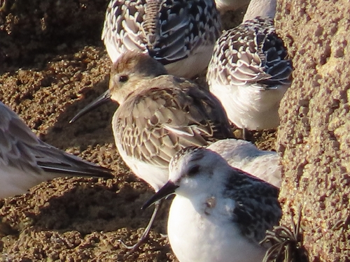
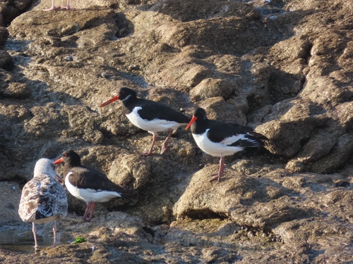
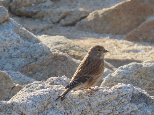
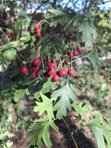
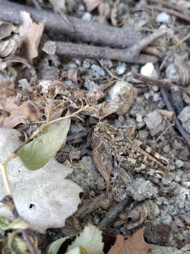
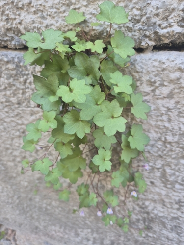
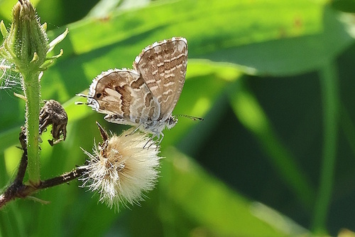
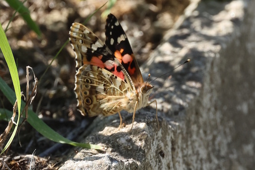
Research-grade observations from iNaturalist (within ~15 mi).
Events
Notable, recurring, and historical events associated with Matosinhos, sourced from Wikidata.
- Q1257281Jun 27, 2011sporting event
- Q1257275Jul 12, 2010sporting event
- Q1257267Jun 29, 2009sporting event
- Q27897264Jun 30, 2008sporting event
- Q27897215Jun 25, 2007sporting event
Source: Wikidata (CC0).
Gallery
Geotagged photos within ~6 miles of Matosinhos, from Wikimedia Commons contributors.
 0 mi
 0 mi
 0.1 mi
 0.1 mi
 0.1 mi
 0.1 mi
 0.1 mi
 0.1 mi
 0.1 mi
 0.2 mi
 0.2 mi
 0.2 mi
 0.2 mi
 0.2 mi
 0.2 mi
 0.2 mi
 0.2 mi
 0.2 mi
 0.2 mi
 0.2 mi
 0.2 mi
 0.2 mi
 0.2 mi
 0.2 mi
Photos via Wikimedia Commons — see each image page for license & attribution.
Official Identifiers
INE Portugal
- INE ID
- 1308
- Population (Wikidata)
- 172,557
- Wikidata
- Q841299
INE ID via Wikidata P6324
Sources
- • Wikipedia
- • Wikimedia Commons
- • Wikidata
- • iNaturalist
- • Open-Meteo / sunrise-sunset.org
- • Wikipedia Pageviews API
- • Open Library
- • Wikidata SPARQL (CC0) — population, area, elevation, inception, head of government, Commons image
- • INE Portugal — INE ID via Wikidata P6324