Browse / Portugal / Lisbon / Moledo
Moledo
Lisbonvillage
Air quality index
Demographic figures from INE Portugal. Overview below cites Wikipedia and may reference a different year.
City facts
Overview
Moledo is a village that lies in Lisbon, Portugal. Detailed population figures are not currently catalogued in the open data sources we track. On the world map it falls within the Western Hemisphere, specifically at 39.284°, -9.257°. Based on its warm temperate position, residents likely encounter warm summers and cool winters. The location receives about 1,672 kWh/m² of solar irradiance per year and sunshine for roughly 65% of daylight hours. Read on for charts and tables covering demographics, climate, hazards, schools, wildlife and other open-data indicators for Moledo.
Summary composed automatically from structured open data on this page. See our Terms for details.
History & geography
Geography
Coordinates & boundaries from the US Census TIGER/Line shapefiles.
Climate
Air quality
Current readings from Open-Meteo Air Quality API (Copernicus CAMS European reanalysis).
Walkability
Amenities nearby
Wildlife & biodiversity
Most-observed species
- Yellow-legged GullLarus michahellis J.F.Naumann, 1840 · Aves2,658
- Eurasian BlackbirdTurdus merula Linnaeus, 1758 · Aves1,773
- Great Cormorant/European ShagPhalacrocorax carbo (Linnaeus, 1758) · Aves1,691
- Black RedstartPhoenicurus ochruros (S.G.Gmelin, 1774) · Aves1,688
- Gray/Purple HeronArdea cinerea Linnaeus, 1758 · Aves1,591
- Lesser Black-backed GullLarus fuscus Linnaeus, 1758 · Aves1,561
- Spotless StarlingSturnus unicolor Temminck, 1820 · Aves1,555
- House SparrowPasser domesticus (Linnaeus, 1758) · Aves1,537
Citizen-science & research observations from the Global Biodiversity Information Facility (GBIF).
Earthquake history
Most recent
- M 3.5 — 2026-02-194 km ENE of Sobral de Monte Agraço, Portugal
- M 4.8 — 2025-02-171 km NE of Charneca de Caparica, Portugal
- M 3.3 — 2021-03-180 km SSW of Santa Iria da Azóia, Portugal
- M 2.6 — 2020-04-1911 km ENE of Pombal, Portugal
- M 4.2 — 2017-08-175 km N of Arruda dos Vinhos, Portugal
- M 3.6 — 2017-02-014 km WSW of Porto de Mós, Portugal
Events from the USGS Earthquake Catalog (global) (FDSN Event Web Service).
Photos
Sights & places nearby
Notable people from here


People born within ~10 km, from Wikidata (CC0). Click any name for their Wikipedia article.
Nearby places in Lisbon
- Sidi Hassine1066.2 mi away · pop. 109,690
- Amguid1225.4 mi away
- Idlès1389.3 mi away · pop. 4,945
- Marino Selo1398.2 mi away · pop. 312
- Poljana1398.5 mi away · pop. 547
- Brekinska1402.7 mi away · pop. 126
- Iglen1404.2 mi away
- Kapetanovo Polje1404.7 mi away · pop. 35
- Toranj1404.7 mi away · pop. 75
- Donji Čaglić1406.1 mi away · pop. 266
- Donja Obrijež1406.2 mi away · pop. 235
- Mali Banovac1406.2 mi away · pop. 17
Geography & sun
Elevation, sunrise/sunset and daylight from Open-Meteo. Solar climatology from NASA POWER.
Nearby airports
Public attention
Books about this place
Recent natural events nearby
Ground air-quality sensors
Recently spotted species
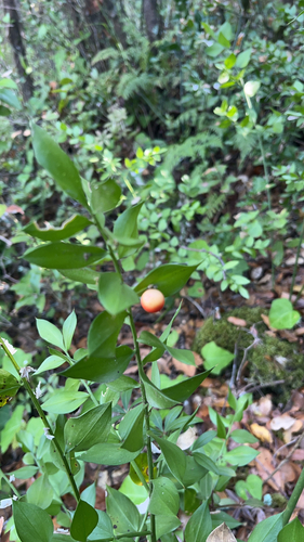
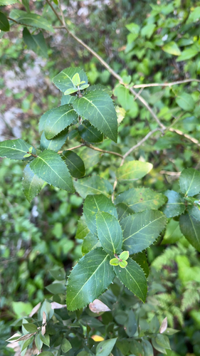
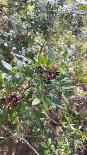
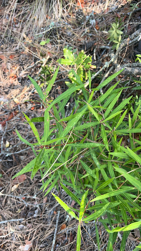
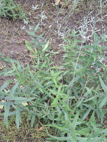
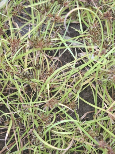
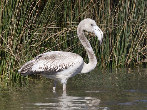
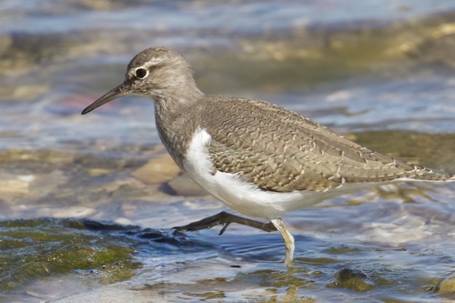
Research-grade observations from iNaturalist (within ~15 mi).
Events
Gallery
Official Identifiers
INE Portugal
- INE ID
- 180313
- Population (Wikidata)
- 1,049
- Wikidata
- Q64425
INE ID via Wikidata P6324
Sources
- • Wikidata
- • Open-Meteo Air Quality (CAMS)
- • USGS Earthquake Catalog (global feed)
- • GBIF (Global Biodiversity Information Facility)
- • iNaturalist
- • Open-Meteo / sunrise-sunset.org
- • INE Portugal — INE ID via Wikidata P6324