Browse / Portugal / Madeira / Nuns Valley
Nuns Valley
Madeiravillage

Nuns Valley
Total population
1,673
Demographic figures from INE Portugal. Overview below cites Wikipedia and may reference a different year.
City facts
Facts from Wikidata (CC0).
Overview
Curral das Freiras is a civil parish in the municipality of Câmara de Lobos in the Portuguese archipelago of Madeira. The population in 2011 was 2,001, in an area of 25.03 km2. It is situated in the mountainous interior of the island. Being one of the more distant locations from the municipal seat of Câmara de Lobos, it is geographically isolated from other communities by the cliffs and peaks surrounding its central valley. A tunnel southwards in the direction of Funchal, which opened in 2004, now offers safe access to the valley and the dangerous historical route has been abandoned.
Read more on WikipediaHistory & geography
History
Initially, during its early settlement access to the valley of Curral was difficult, and was only attempted by semi-nomadic shepherds and slaves who gained their emancipation or escaped from servitude. These people built small homes, and a small hamlet developed towards the end of the 15th century. More permanent residents began to dwell in the valley shortly after, although the area remained little developed. The settlement was part of the dominion of João Gonçalves Zarco, who granted its use for cultivation around 1462 to João Ferreira and his wife Branca Dias. These settlers later donated their lands to their grandchild Branca Teixeira, on 22 August 1474. On 11 September 1480, the lands were, once again, sold to the second Captain-Donatário, João Gonçalves da Câmara (Zarco's son), who in turn donated it the Convento of Santa Clara in the name of his daughter Elvira and Joana who lived in the convent. During early colonization, the settlement was simply known as Curral or Curral da Serra ( or ), because it was known for its extensive pasture-lands, used for grazing cattle and small herds (sheep and goats). The name was subsequently altered, when these lands became the property of the nuns of the Convent of Santa Clara (between 1492 and 1497). There is also some discrepancy; others credit the name change after 1566, when the nuns of the Convent took refuge on these properties, during the French privateer attacks on Funchal. The lands of Curral das Freiras were part of the parish of Santo António, but, owing to its extreme isolation from this ecclesiastical seat, the religious parish of Curral das Freiras was instituted in 1780. Later, on 17 March 1790, by regal charter (from Queen Maria I, Curral das Freiras became an independent parish, separating from Santo…
Geography
Situated in a deep valley and encircled by steep mountain slopes, the parish of Curral das Freiras is located 29 kilometres from the municipal seat of Câmara de Lobos. Most of the buildings in the parish overlook the main valley, with the steep hillsides encircling the parish used for the cultivation of cherries and grapes used in the production of Madeira wine.
Excerpted from the corresponding Wikipedia article (CC BY-SA).
Geography
Coordinates & boundaries from the US Census TIGER/Line shapefiles.
Climate
Air quality
Walkability
Amenities nearby
Wildlife & biodiversity
Most-observed species
- Madeira ChaffinchFringilla maderensis Sharpe, 1888 · Aves5,018
- Eurasian BlackbirdTurdus merula Linnaeus, 1758 · Aves4,523
- Eurasian KestrelFalco tinnunculus Linnaeus, 1758 · Aves3,683
- Eurasian BlackcapSylvia atricapilla (Linnaeus, 1758) · Aves3,648
- Yellow-legged GullLarus michahellis J.F.Naumann, 1840 · Aves3,641
- Madeira Wall LizardTeira dugesii (Milne-Edwards, 1829) · Squamata3,557
- Island CanarySerinus canaria (Linnaeus, 1758) · Aves3,552
- Rock PigeonColumba livia J.F.Gmelin, 1789 · Aves3,294
Citizen-science & research observations from the Global Biodiversity Information Facility (GBIF).
Earthquake history
Most recent
- M 4 — 2025-09-2438 km E of Caniçal, Portugal
- M 4.4 — 2022-04-0915 km SSE of Caniço, Portugal
- M 4.9 — 2022-02-16Madeira Islands, Portugal region
- M 3.8 — 2020-03-1546 km S of Caniço, Portugal
- M 5.3 — 2020-03-0727 km S of Caniço, Portugal
- M 4.1 — 2008-07-2157 km SE of Caniçal, Portugal
Events from the USGS Earthquake Catalog (global) (FDSN Event Web Service).
Photos
Sights & places nearby
Notable people from here


People born within ~10 km, from Wikidata (CC0). Click any name for their Wikipedia article.
Nearby places in Madeira
- Fajã das Galinhas1.9 mi away
- Jardim da Serra2.8 mi away · pop. 3,311
- Lugar da Serra3.5 mi away
- Serra de Água3.5 mi away · pop. 1,320
- Estreito de Câmara de Lobos3.5 mi away · pop. 10,269
- Garachico3.8 mi away
- Fontainhas3.9 mi away
- Espigão3.9 mi away
- São Paulo4.1 mi away
- Lombo do Urzal4.2 mi away
- Eira do Mourão4.7 mi away
- Furnas4.8 mi away
Geography & sun
Elevation, sunrise/sunset and daylight from Open-Meteo. Solar climatology from NASA POWER.
Nearby airports
Public attention
Pageview totals from the Wikimedia Pageviews API.
Books about this place
Recent natural events nearby
Ground air-quality sensors
Recently spotted species
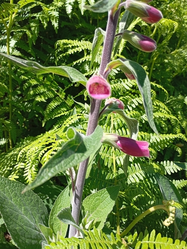
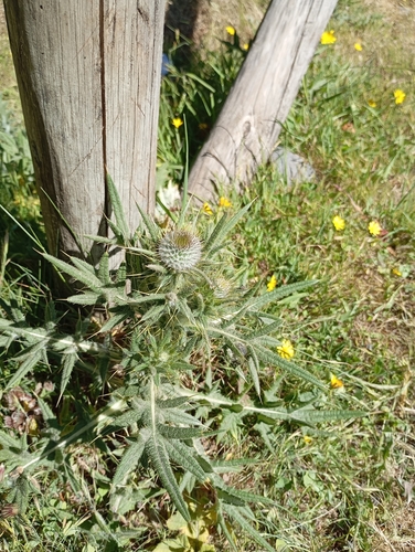
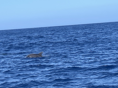
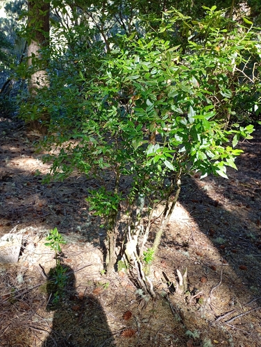
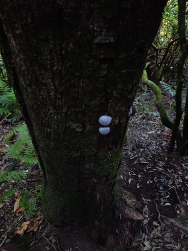
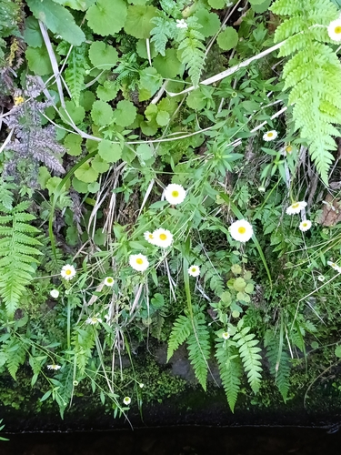
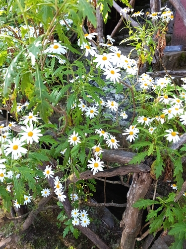
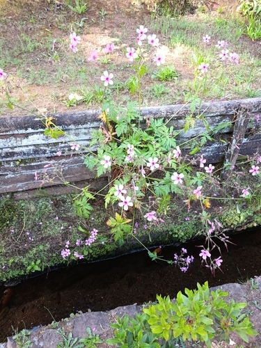
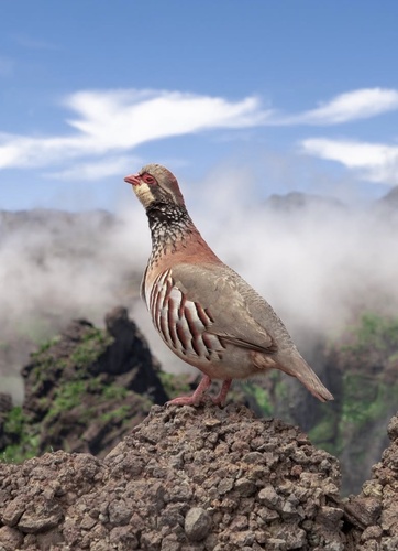
Research-grade observations from iNaturalist (within ~15 mi).
Events
Gallery
Geotagged photos within ~6 miles of Nuns Valley, from Wikimedia Commons contributors.

.jpg)


.jpg)
.jpg)
.jpg)
.jpg)
.jpg)
.jpg)


Photos via Wikimedia Commons — see each image page for license & attribution.
Sources
- • Wikipedia
- • Wikimedia Commons
- • Wikidata
- • USGS Earthquake Catalog (global feed)
- • GBIF (Global Biodiversity Information Facility)
- • iNaturalist
- • Open-Meteo / sunrise-sunset.org
- • Wikipedia Pageviews API
- • Wikidata SPARQL (CC0) — population, area, elevation, inception, head of government, Commons image