Browse / Portugal / Lisbon / Ota
Ota
Lisbonvillage
No image yet
Coordinates39.11°, -8.99°
Demographic figures from INE Portugal. Overview below cites Wikipedia and may reference a different year.
Loading additional data from public sources…0 / 11
CensusWikipediaWeatherPlacesPeopleEnvironmentHealth & SchoolsRelatedGeography & CultureLive MonitoringEvents & Gallery
0% completeCity facts
Overview
Ota is a Portuguese freguesia, located in the municipality of Alenquer. The population in 2011 was 1289, in an area of 46.32 km2.
Read more on WikipediaHistory & geography
Geography
Latitude
39.1108
Longitude
-8.9909
Water area
—
Coordinates & boundaries from the US Census TIGER/Line shapefiles.
Climate
Air quality
Walkability
Amenities nearby
Wildlife & biodiversity
Earthquake history
Photos
Sights & places nearby
Notable people from here

Damião de Góis
Portuguese philosopher

Pero de Alenquer
15th-century Portuguese explorer
B
Bruno Mendes
Portuguese footballer
E
Eduardo Henriques
Portuguese athletics competitor (born 1968)

Alda Gomes
Portuguese actor and model
D
Dantas Pereira
Portuguese naval officer
F
Fernando Augusto de Freitas Mota Luso Soares
Portuguese writer
F
Fernando Martins
Portuguese sports executive

Francisco José Rufino de Sousa Lobato

Francisco de Almeida Grandella
Portuguese politician (1853-1934)
H
Hipólito Cabaço
Portuguese archaeologist
J
José António Soares Leal
Portuguese military personnel
J
José Ferreira Queimado
Portuguese sports club president

João Manuel Ferreira Simões
Portuguese journalist

Luz de Almeida
Portuguese politician

Manuel Rafael Gorjão Henriques
Portuguese explorer
People born within ~10 km, from Wikidata (CC0). Click any name for their Wikipedia article.
Nearby places in Lisbon
- Ribnjaci1389.8 mi away · pop. 34
- Marino Selo1390.9 mi away · pop. 312
- Antunovac1392.4 mi away · pop. 363
- Bujavica1392.7 mi away · pop. 33
- Brezine1393.4 mi away · pop. 221
- Brekinska1395.4 mi away · pop. 126
- Livađani1395.6 mi away · pop. 7
- Kukunjevac1396.5 mi away · pop. 233
- Jagma1396.7 mi away · pop. 41
- Kapetanovo Polje1397.3 mi away · pop. 35
- Toranj1397.3 mi away · pop. 75
- Dobrovac1397.5 mi away · pop. 358
Geography & sun
Avg solar (kWh/m²/day)
4.64
Annual solar (kWh/m²)
1,695
Elevation, sunrise/sunset and daylight from Open-Meteo. Solar climatology from NASA POWER.
Nearby airports
Public attention
Wikipedia views (last 30 days)
40
Avg daily Wikipedia views
1
Attention level
Obscure
Pageview totals from the Wikimedia Pageviews API.
Books about this place
Recent natural events nearby
Ground air-quality sensors
Recently spotted species
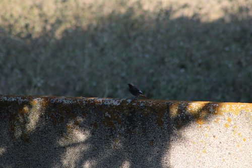
Black Redstart
Phoenicurus ochruros
Seen 2026-09-20
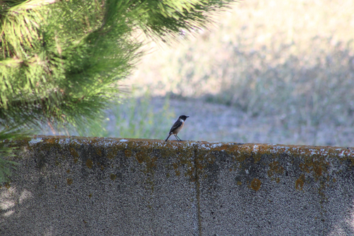
European Stonechat
Saxicola rubicola
Seen 2026-09-20
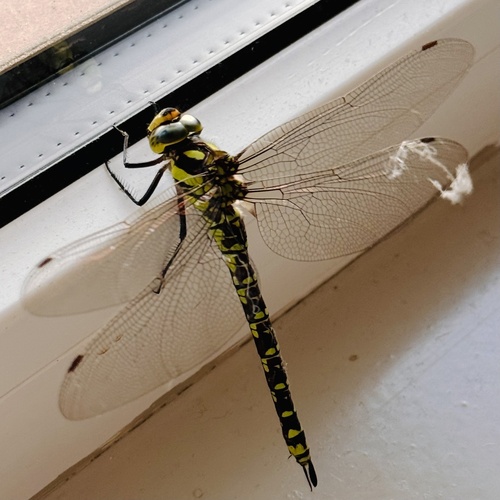
Southern Hawker
Aeshna cyanea
Seen 2026-09-19
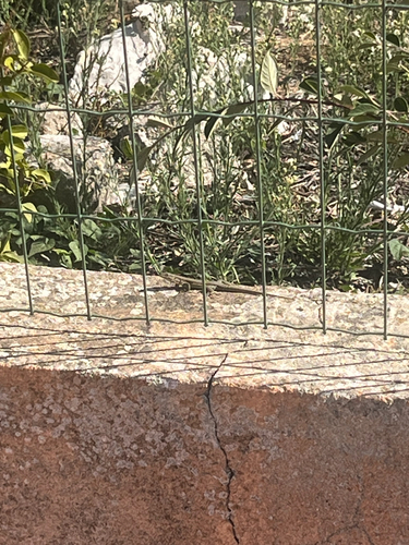
Green Iberian Wall Lizard
Podarcis virescens
Seen 2026-09-19
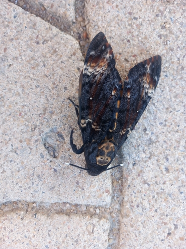
Death's Head Hawkmoth
Acherontia atropos
Seen 2026-09-18
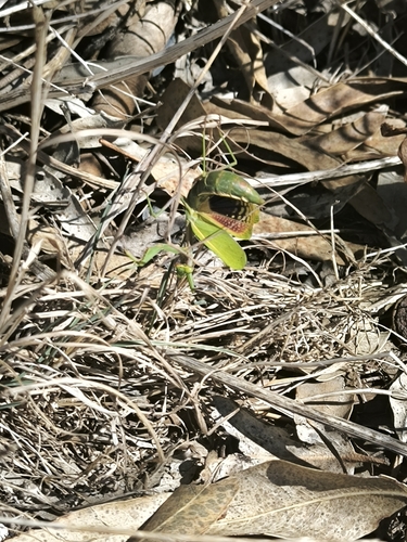
Mediterranean Mantis
Iris oratoria
Seen 2026-09-18
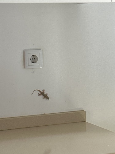
Moorish Gecko
Tarentola mauritanica
Seen 2026-09-15
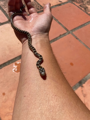
Horseshoe Whip Snake
Hemorrhois hippocrepis
Seen 2026-09-13
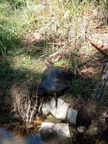
Mediterranean Turtle
Mauremys leprosa
Seen 2026-09-13
Research-grade observations from iNaturalist (within ~15 mi).
Events
Gallery
Official Identifiers
INE Portugal
- INE ID
- 110109
- Population (Wikidata)
- 1,195
- Wikidata
- Q951481
INE ID via Wikidata P6324
Sources
- • Wikipedia
- • Wikidata
- • iNaturalist
- • Open-Meteo / sunrise-sunset.org
- • Wikipedia Pageviews API
- • INE Portugal — INE ID via Wikidata P6324