Browse / Portugal / Porto / Pedrouços
Pedrouços
Portovillage

Featured view
Pedrouços
Total population
12,149
Land area2.25 km²
Coordinates41.19°, -8.59°
Demographic figures from INE Portugal. Overview below cites Wikipedia and may reference a different year.
Loading additional data from public sources…0 / 11
CensusWikipediaWeatherPlacesPeopleEnvironmentHealth & SchoolsRelatedGeography & CultureLive MonitoringEvents & Gallery
0% completeCity facts
Area
2.25 km²
Official website
www.jf-pedroucos.ptFacts from Wikidata (CC0).
Overview
Pedrouços is a Portuguese parish located in the municipality of Maia. The population in 2011 was 12,149, in an area of 2.57 km².
Read more on WikipediaHistory & geography
Geography
Latitude
41.1878
Longitude
-8.5873
Water area
—
Coordinates & boundaries from the US Census TIGER/Line shapefiles.
Climate
Air quality
Walkability
Amenities nearby
Wildlife & biodiversity
Earthquake history
Photos
Sights & places nearby
Notable people from here
Nearby places in Porto
- Ferreiró6 mi away
- Casais15.3 mi away · pop. 1,401
- Olib1201 mi away · pop. 117
- Zapuntel1202.2 mi away · pop. 42
- Veli Rat1204 mi away · pop. 91
- Soline1205.4 mi away · pop. 59
- Molat1205.5 mi away · pop. 85
- Božava1206.6 mi away · pop. 118
- Zverinac1207.2 mi away · pop. 55
- Kolanjski Gajac1207.5 mi away · pop. 16
- Mandre1208.2 mi away · pop. 395
- Šimuni1210.1 mi away · pop. 165
Geography & sun
Nearby airports
Public attention
Books about this place
Recent natural events nearby
Ground air-quality sensors
Recently spotted species
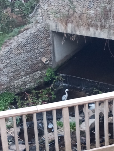
Grey Heron
Ardea cinerea
Seen 2026-09-22
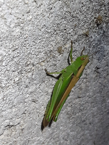
Paracinema tricolor bisignatum
Paracinema tricolor bisignatum
Seen 2026-09-21
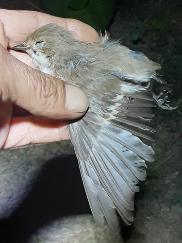
European Pied Flycatcher
Ficedula hypoleuca
Seen 2026-09-21
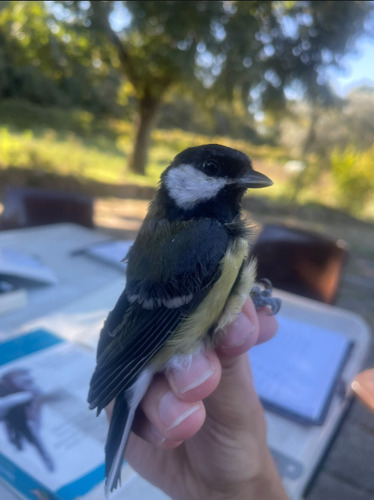
Great Tit
Parus major
Seen 2026-09-21
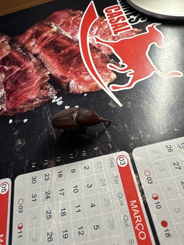
Red Palm Weevil
Rhynchophorus ferrugineus
Seen 2026-09-21
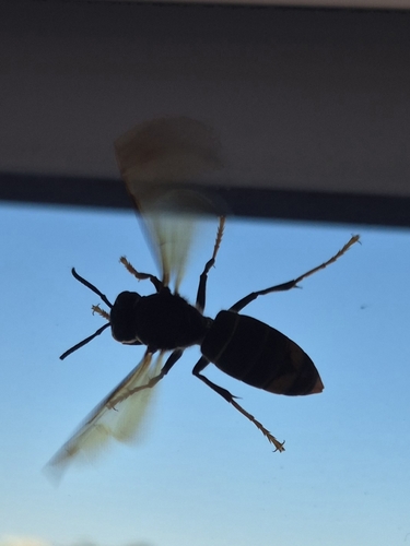
Yellow-legged Hornet
Vespa velutina
Seen 2026-09-21
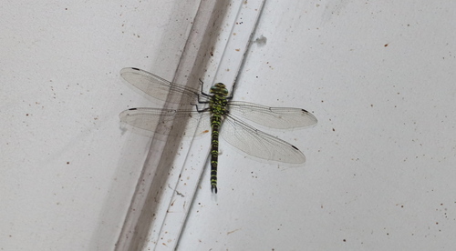
Southern Hawker
Aeshna cyanea
Seen 2026-09-21
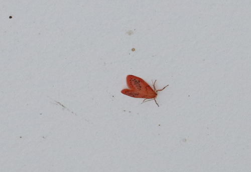
Rosy Footman
Miltochrista miniata
Seen 2026-09-21
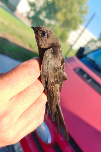
Plain Swift
Apus unicolor
Seen 2026-09-20
Research-grade observations from iNaturalist (within ~15 mi).
Events
Gallery
Official Identifiers
INE Portugal
- INE ID
- 130617
- Population (Wikidata)
- 11,564
- Wikidata
- Q1216704
INE ID via Wikidata P6324
Sources
- • Wikipedia
- • Wikidata
- • iNaturalist
- • INE Portugal — INE ID via Wikidata P6324