Browse / Portugal / Porto / Perafita
Perafita
Portotown
Demographic figures from INE Portugal. Overview below cites Wikipedia and may reference a different year.
City facts
Overview
Perafita, Lavra e Santa Cruz do Bispo was a civil parish in the municipality of Matosinhos, Portugal. It was formed in 2013 by the merger of the former parishes Perafita, Lavra and Santa Cruz do Bispo, but it was dissolved in 2025. The population in 2011 was 29,407, in an area of 22.65 square kilometres (8.75 mi2). It is crossed by the A28. The Porto Airport is situated in its territory.
Read more on WikipediaHistory & geography
Geography
Coordinates & boundaries from the US Census TIGER/Line shapefiles.
Climate
Air quality
Walkability
Amenities nearby
Wildlife & biodiversity
Most-observed species
- Yellow-legged GullLarus michahellis J.F.Naumann, 1840 · Aves18,330
- Rock PigeonColumba livia J.F.Gmelin, 1789 · Aves15,482
- Eurasian BlackbirdTurdus merula Linnaeus, 1758 · Aves14,722
- House SparrowPasser domesticus (Linnaeus, 1758) · Aves12,707
- Eurasian MagpiePica pica (Linnaeus, 1758) · Aves12,082
- Common Wood-PigeonColumba palumbus Linnaeus, 1758 · Aves10,489
- Eurasian Collared-DoveStreptopelia decaocto (Frivaldszky, 1838) · Aves9,184
- White WagtailMotacilla alba Linnaeus, 1758 · Aves8,703
Citizen-science & research observations from the Global Biodiversity Information Facility (GBIF).
Earthquake history
Most recent
- M 3.3 — 2015-05-021 km WSW of Arcos, Portugal
- M 2.6 — 2007-04-171 km WNW of Aves, Portugal
- M 2.5 — 2006-10-055 km SSW of Vieira do Minho, Portugal
- M 2.5 — 2005-09-066 km W of Sande, Portugal
- M 2.8 — 2005-06-194 km W of Ponte de Lima, Portugal
- M 2.7 — 2005-06-193 km NW of Ponte de Lima, Portugal
Events from the USGS Earthquake Catalog (global) (FDSN Event Web Service).
Photos
Sights & places nearby
Notable people from here
Nearby places in Porto
- Ferreiró6.1 mi away
- Casais20.2 mi away · pop. 1,401
- Meinedo23.3 mi away · pop. 4,052
- Dar Mtaa el Anabra556.9 mi away
- Muhammad Salah587.4 mi away
- Zalboun591.2 mi away
- Ain Taslit596.8 mi away
- Olib1205.7 mi away · pop. 117
- Veli Rat1208.7 mi away · pop. 91
- Brgulje1208.8 mi away · pop. 63
- Zverinac1211.8 mi away · pop. 55
- Mandre1212.8 mi away · pop. 395
Geography & sun
Elevation, sunrise/sunset and daylight from Open-Meteo. Solar climatology from NASA POWER.
Nearby airports
Public attention
Pageview totals from the Wikimedia Pageviews API.
Books about this place
Recent natural events nearby
Ground air-quality sensors
Recently spotted species
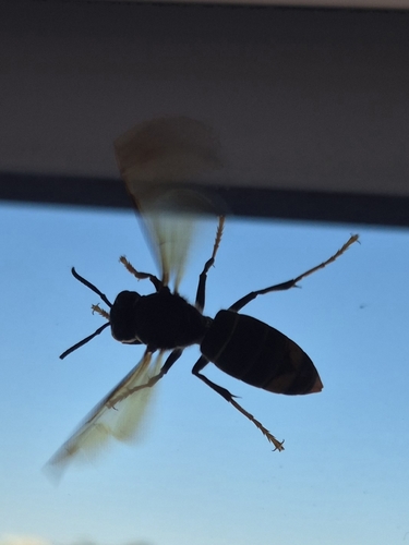
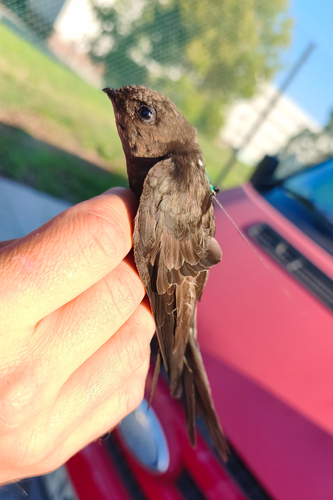

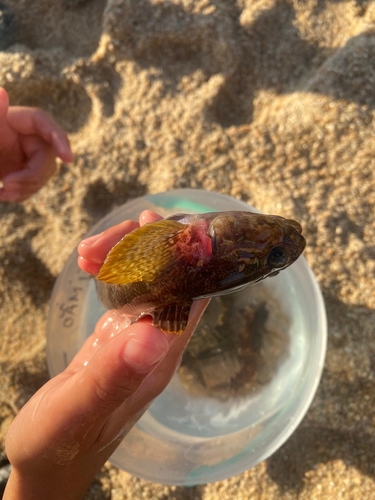
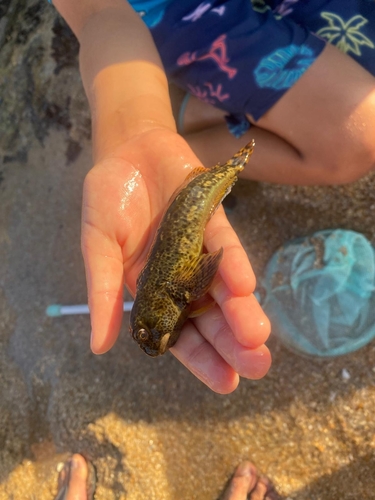
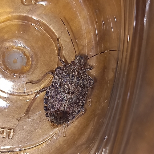
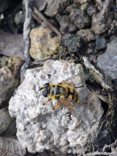
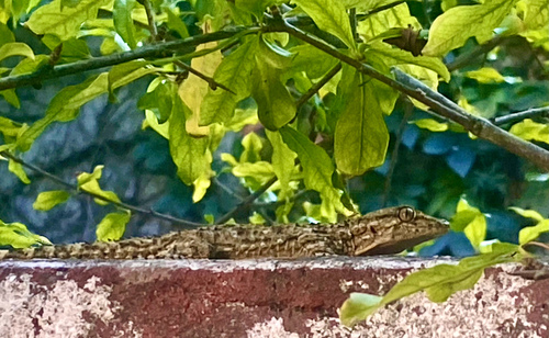
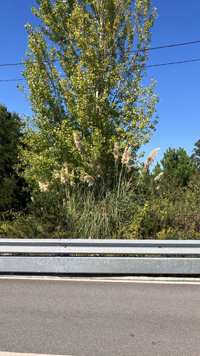
Research-grade observations from iNaturalist (within ~15 mi).
Events
Gallery
Sources
- • Wikipedia
- • USGS Earthquake Catalog (global feed)
- • GBIF (Global Biodiversity Information Facility)
- • iNaturalist
- • Open-Meteo / sunrise-sunset.org
- • Wikipedia Pageviews API