Browse / Portugal / Madeira / Ponta do Pargo
Ponta do Pargo
Madeiravillage

Ponta do Pargo
Total population
1,145
Demographic figures from INE Portugal. Overview below cites Wikipedia and may reference a different year.
City facts
Facts from Wikidata (CC0).
Overview
Ponta do Pargo is a civil parish in the municipality of Calheta in the Portuguese island of Madeira. The population in 2011 was 909, in an area of 24.71 km2. It is located west of the municipal seat of Calheta, and southwest of the municipality of Porto Moniz.
Read more on WikipediaHistory & geography
History
The name of the parish, as the historian Gaspar Frutuoso explained, came from early explorers to the western tip of the island of Madeira, whom fished the waters and caught a species of porgy. :"From Calheta the captain passed below an area that ended at a point over the sea...and being here, they collected from the boat of Tristão and the boat of Álvaro Afonso a fish that looked like porgy, of a marvellous greatness and the largest that, until that time, was ever seen; for this reason, because of the fish, the point was named porgy. From this Ponta do Pargo look to the North until another point, whose distance one says is two, other say three, leagues..." The settlement began with Garcia da Câmara, son-in-law of João Gonçalves Zarco, who here began establishing small estates run by colonists who tilled the land. Many of the lands in the parish were originally in the name of Garcia da Câmara and Afonso Henriques, Master of Alcáçovas (dated to the 16th century). The date for the creation of the parish remains a mystery. In the opinion of Father Fernando Augusto da Silva, it occurred in the late 1560s, since the regal document on 4 March of the same year referred to the congregation of this parish. Meanwhile, the lands of the civil parish pertained, at the time, to the neighbouring parish of Fajã da Ovelha. The parish of Ponta do Pargo was incorporated into the municipality of Porto Moniz, between 31 October 1835 and 1849, until that municipality was suppressed during the administrative reforms of the Liberal regime. Porto Moniz, along with Ponta do Pargo, therefore began to function as a part of the much larger municipality of Calheta. The restoration of the municipality of Porto Moniz in 1855, resulted in the reincorporation of the parish of Ponta do Pargo. On 26…
Geography
Ponta do Pargo is a diamond-shape territory on the western edge of the island Madeira. From its high-altitude cliffs it extends into the interior along escarpments cut by several river valleys to the Serra do Paul. The northwest to southwest border fronts the Atlantic Ocean, while its northern frontier is limited by its border with the municipality of Porto Moniz (Porto Moniz) and Fajã da Ovelha (within the municipality of Calheta. The cliff-top bluffs reach a height of 392 metres above sea level, while its interior extent reaches an altitude of just over 1321 metres. The most westerly extent, the Ponta in the parishes name, bears a lighthouse. Ponta do Pargo is identified by several localities scattered throughout the central band of the regional roadway; residential agglomerations that include: Cabo, Lombada Velha, Ribeira da Vaca, Serrado, Salão, Corujeira de Dentro, Corujeira de Fora, Lombadinha, Amparo and Lombo. About 20% of the inhabitants of the parish are children and youth (less than 15 years), 55% are active adults, while seniors make-up 25% of the population.
Excerpted from the corresponding Wikipedia article (CC BY-SA).
Geography
Coordinates & boundaries from the US Census TIGER/Line shapefiles.
Climate
Air quality
Walkability
Amenities nearby
Wildlife & biodiversity
Earthquake history
Photos
Sights & places nearby
Notable people from here
People born within ~10 km, from Wikidata (CC0). Click any name for their Wikipedia article.
Geography & sun
Elevation, sunrise/sunset and daylight from Open-Meteo. Solar climatology from NASA POWER.
Nearby airports
Public attention
Pageview totals from the Wikimedia Pageviews API.
Books about this place
Recent natural events nearby
Ground air-quality sensors
Recently spotted species
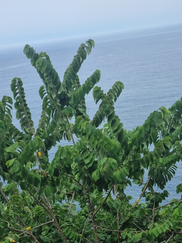
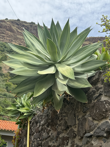
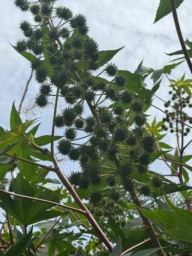
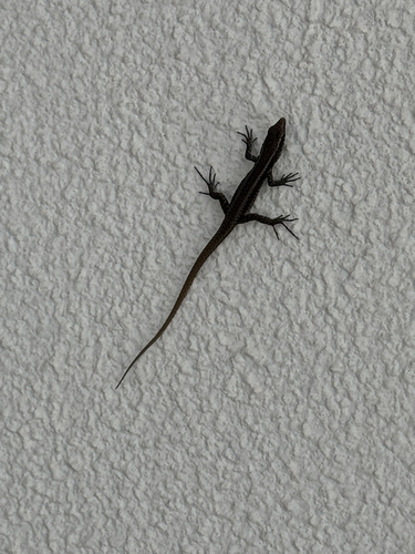
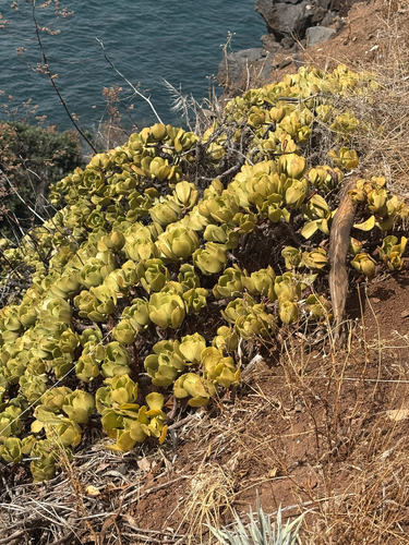
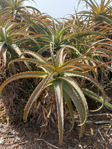
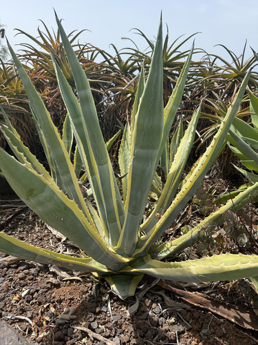
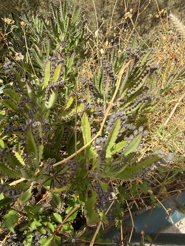
Research-grade observations from iNaturalist (within ~15 mi).
Events
Gallery
Official Identifiers
INE Portugal
- INE ID
- 310107
- Population (Wikidata)
- 803
- Wikidata
- Q2598492
INE ID via Wikidata P6324
Sources
- • Wikipedia
- • Wikidata
- • iNaturalist
- • Open-Meteo / sunrise-sunset.org
- • Wikipedia Pageviews API
- • Wikidata SPARQL (CC0) — population, area, elevation, inception, head of government, Commons image
- • INE Portugal — INE ID via Wikidata P6324