Browse / Portugal / Madeira / Ponta do Sol
Ponta do Sol
Madeiratown

Ponta do Sol
Demographic figures from INE Portugal. Overview below cites Wikipedia and may reference a different year.
City facts
Facts from Wikidata (CC0).
Overview
Ponta do Sol is a municipality in the southwestern coast of the island of Madeira, in the archipelago of Madeira. The population in 2011 was 8,862, in an area of 46.19 km2 (17.83 sq mi).
Read more on WikipediaHistory & geography
History
The settlement of Ponta do Sol began shortly after the discovery of the island of Madeira, around 1420.
Geography
Ponta do Sol is located between Ribeira-Brava and Calheta, on the southwest coast of Madeira, linked to Funchal (the capital) and surrounding communities by the main regional road. The municipality is crossed by a few pedestrian hiking trails, that usually follow the levadas () carrying water from the mountains. Administratively, the municipal government is located in the civil parish (freguesia) of Ponta do Sol, while local government is handled through the three civil parishes: * Canhas * Madalena do Mar * Ponta do Sol - in 2011, the parish had a population of 4,577 inhabitants, in an area of In the mid-twentieth century, many residents of Ponta do Sol and the surrounding communities on Madeira immigrated to the Netherlands Antilles, especially the island of Curacao. This migration pattern began as both a reaction to the difficult economic conditions faced by many local residents of Ponta do Sol at the time and a response to the development of a Shell oil refinery on Curacao, which attracted immigrants from different parts of the Americas and further afield, including Portugal. While migrants from other areas of Portugal did move to the Netherlands Antilles as well, Madeirans made up the overwhelming majority of the broader group of Portuguese migrants to this island group in the Caribbean in the mid-twentieth century. Many descendants of immigrants from Madeira and Ponta do Sol in particular continue to live on Curacao today.
Excerpted from the corresponding Wikipedia article (CC BY-SA).
Geography
Coordinates & boundaries from the US Census TIGER/Line shapefiles.
Climate
Air quality
Walkability
Amenities nearby
Wildlife & biodiversity
Earthquake history
Photos
Sights & places nearby
Notable people from here


People born within ~10 km, from Wikidata (CC0). Click any name for their Wikipedia article.
Geography & sun
Elevation, sunrise/sunset and daylight from Open-Meteo. Solar climatology from NASA POWER.
Nearby airports
Public attention
Pageview totals from the Wikimedia Pageviews API.
Books about Ponta do Sol








Search results from Open Library.
Recent natural events nearby
Ground air-quality sensors
Recently spotted species
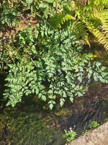
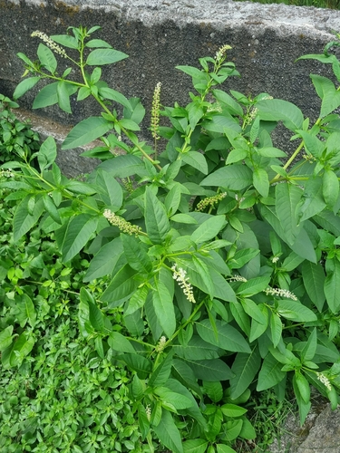
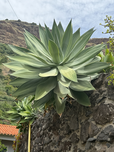
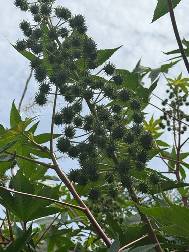
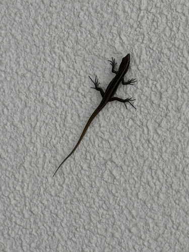
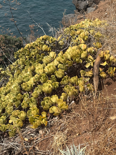
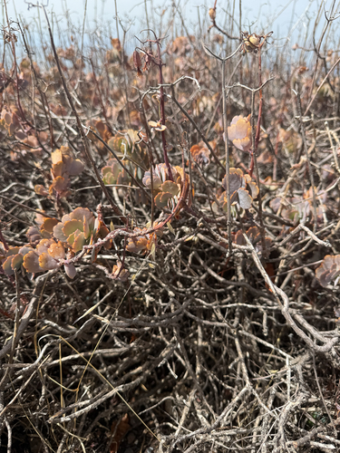
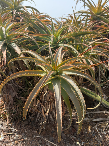
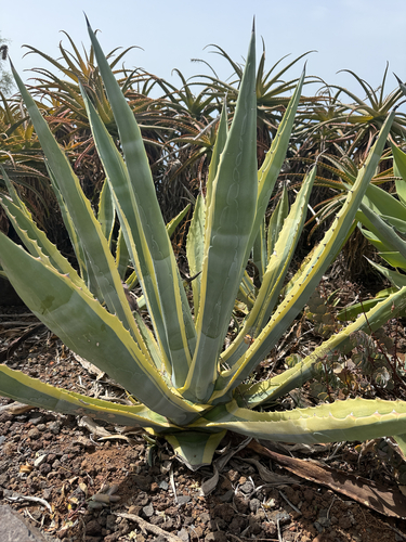
Research-grade observations from iNaturalist (within ~15 mi).
Events
Gallery
Sources
- • Wikipedia
- • Wikidata
- • iNaturalist
- • Open-Meteo / sunrise-sunset.org
- • Wikipedia Pageviews API
- • Open Library