Browse / Portugal / Faro / Portimão
Portimão
Farocity

Portimão
Total population
22,692
Demographic figures from INE Portugal. Overview below cites Wikipedia and may reference a different year.
City facts
Sister cities
Facts from Wikidata (CC0).
Overview
Portimão is a city and a municipality in the district of Faro, in the Algarve region of southern Portugal. The population in 2022 was 63,079 in an area of 182.06 km2. It was formerly known as Vila Nova de Portimão. In 1924, it was incorporated as a cidade and became known merely as Portimão. Historically a fishing and shipbuilding centre, it has nonetheless developed into a strong tourist centre oriented along its beaches and southern coast. The two largest population centers in the Algarve are Portimão and Faro.
Read more on WikipediaHistory & geography
History
The area was settled during the prehistoric epoch: the Cynetes, influenced by the Celts and Tartessos lived in the Algarve for many centuries. In the area of Alcalar there are several remnants of Neolithic funerary sites of which only one, Alcalar monument number seven, comprising a circular chamber composed of schist stone and long corridor, remains. Comparable to western European and Irish monuments, the funeral crypt, with two lateral ritual niches, was protected by a tumulus: a similar site exists in Monte Canelas. The mouth of the Arade River proved an important natural shelter that soon became a small commercial port for the Phoenicians, Greeks and Carthaginians. The Carthaginians founded two settlements nearby in the mid-6th centuryBC, known by their Roman names and ("Hannibal's Port"). The former was the nucleus of present-day Portimão. Obvious vestiges of the Roman occupation are situated near Figueira, at Quinta da Abicada, in the confluence of two rivers, where the remains of various rooms were unearthed. Also, in the area of Coca Maravilhas was discovered a well-preserved period cistern, while along the Arade River there have been identified gold coins. In the 5th century, the Algarve was ruled by the Visigoths until the arrival of the Moors. It was during the Moorish occupation that the settlement changed to . The river and its ocean access to the ancient city of Shilb (Silves), then capital of the Arabian Algarve. Along with Silves and Alvor, the small fishing centre in Portimão was reconquered in 1249 from the Arabs by Knights of the Order of Santiago and forcibly integrated into the fledgling Kingdom of Portugal, during the reign of Afonso III of Portugal. Due to the constant raids of pirates, the coastal area of Portimão was considered unsafe to…
Geography
The municipality is located on the western southern coast of the Algarve, bordering the municipalities of Lagos, Lagoa, Monchique and Silves. The geographical distribution of the altitude and relief of the municipality of Portimão generically follow the three types of territory present in the Barlavento: the coastal region, the Barrocal (a region between the coastal region and the mountains) and the mountains up north. Each one with their own geological, morphological and pedagogical characteristics. The badlands of Ponta João D'Arens host several species of birds and the Ria de Alvor dunes allow the existence of a marshland and estuary, on which a great diversity of species depend, both fauna and flora, as well as the communities of fishermen and local shellfishers. Portimão is crossed by the Arade River. Portimão has a hot-summer mediterranean climate (Köppen: Csa) with hot dry summers and mild wet winters moderated by the Atlantic Ocean. The lowest temperature the city has ever experienced was in January 1976. Along with other municipalities in the Algarve, Portimão is very sunny, averaging over 3,000 hours of sunshine a year. The average sea temperature is around in winter and in the summer. Portimão receives approximately 300 to 350 mm of precipitation yearly. The wettest months are November, December, and January, while the driest months are June, July, and August. The city has an average of 8 to 11 rainy days per month during the wet season. * Alvor (6,154 inhabitants, 2011) * Mexilhoeira Grande (4,029 inhabitants, 2011) * Portimão (45,431 inhabitants, 2011) The municipality is primarily serviced by the A22 motorway (the Via do Infante), and the E.N.125 roadway that links it directly to the communities of Alvor (), Mexilhoeira Grande () and Praia da…
Excerpted from the corresponding Wikipedia article (CC BY-SA).
Geography
Coordinates & boundaries from the US Census TIGER/Line shapefiles.
Climate
Air quality
Walkability
Amenities nearby
Wildlife & biodiversity
Earthquake history
Photos
Sights & places nearby
Notable people from here
Nearby places in Faro
- Parchal1.1 mi away · pop. 1,523
- Lagoa4.6 mi away · pop. 6,010
- Pera10.8 mi away · pop. 1,379
- Algoz13 mi away · pop. 1,987
- Bordeira18.3 mi away · pop. 34
- Aljezur19.1 mi away · pop. 340
- Raposeira19.8 mi away · pop. 293
- Carrapateira20 mi away · pop. 144
- Vila do Bispo20.9 mi away · pop. 742
- Monte Clérigo22.3 mi away · pop. 23
- Monte Poço23.7 mi away · pop. 147
- Sagres24.1 mi away · pop. 1,845
Geography & sun
Elevation, sunrise/sunset and daylight from Open-Meteo. Solar climatology from NASA POWER.
Nearby airports
Public attention
Pageview totals from the Wikimedia Pageviews API.
Books about Portimão

Search results from Open Library.
Recent natural events nearby
Ground air-quality sensors
Recently spotted species
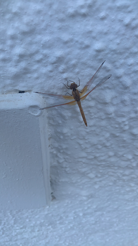
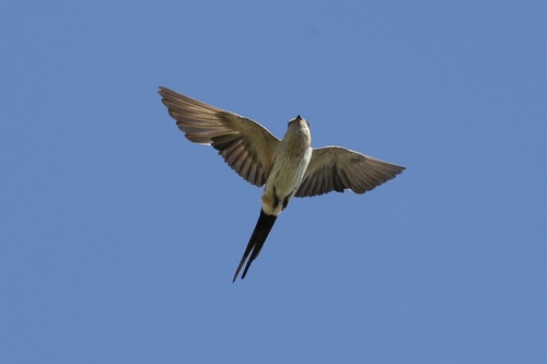
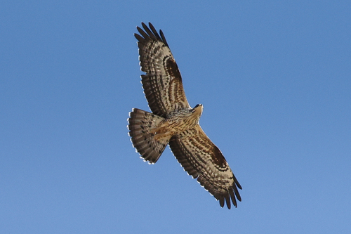
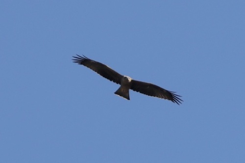
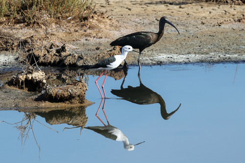
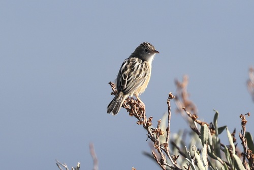
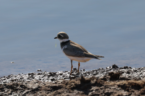
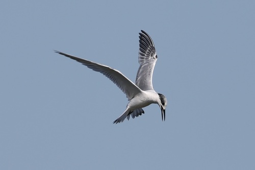
Research-grade observations from iNaturalist (within ~15 mi).
Events
Gallery
Sources
- • Wikipedia
- • Wikidata
- • iNaturalist
- • Open-Meteo / sunrise-sunset.org
- • Wikipedia Pageviews API
- • Open Library
- • Wikidata SPARQL (CC0) — population, area, elevation, inception, head of government, Commons image