Browse / Portugal / Faro / Rogil
Rogil
Farovillage

Rogil
Total population
437
Demographic figures from INE Portugal. Overview below cites Wikipedia and may reference a different year.
City facts
Facts from Wikidata (CC0).
Overview
Rogil is a Portuguese civil parish in Aljezur Municipality. It lies within the Southwest Alentejo and Vicentine Coast Natural Park. The population in 2011 was 1,126, in an area of 34.96 km².
Read more on WikipediaHistory & geography
Geography
Coordinates & boundaries from the US Census TIGER/Line shapefiles.
Climate
Air quality
Walkability
Amenities nearby
Wildlife & biodiversity
Earthquake history
Photos
Sights & places nearby
Notable people from here
People born within ~10 km, from Wikidata (CC0). Click any name for their Wikipedia article.
Nearby places in Faro
- Monte Clérigo3.6 mi away · pop. 23
- Aljezur3.8 mi away · pop. 340
- Marmelete8.3 mi away · pop. 283
- Bordeira12.4 mi away · pop. 34
- Carrapateira13.8 mi away · pop. 144
- Bensafrim15.2 mi away · pop. 952
- Barão de São João16 mi away · pop. 370
- Barão de São Miguel18.2 mi away
- Espiche18.8 mi away · pop. 939
- Vale de Boi19.3 mi away · pop. 83
- Raposeira20.4 mi away · pop. 293
- Figueira20.6 mi away · pop. 196
Geography & sun
Elevation, sunrise/sunset and daylight from Open-Meteo. Solar climatology from NASA POWER.
Nearby airports
Public attention
Pageview totals from the Wikimedia Pageviews API.
Books about this place
Recent natural events nearby
Ground air-quality sensors
Recently spotted species
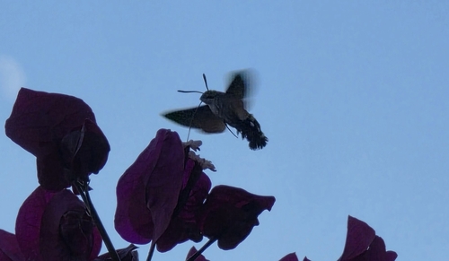
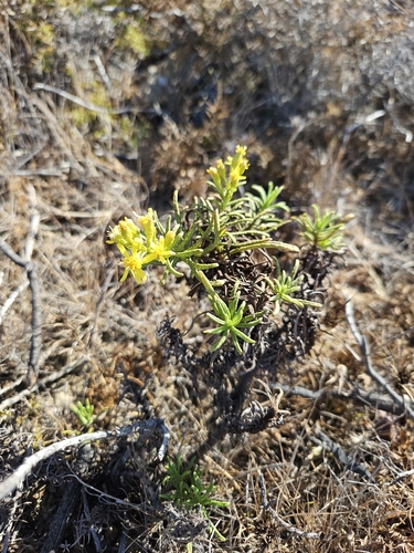
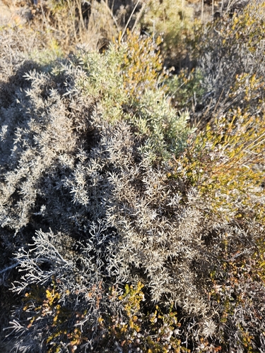
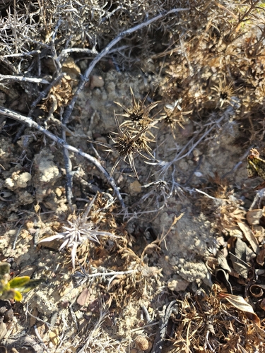
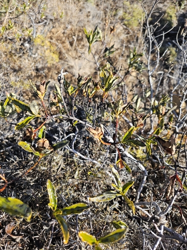
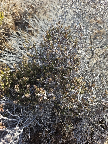
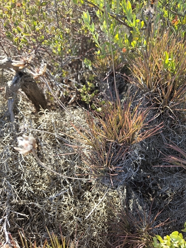
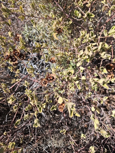
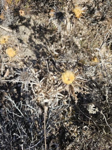
Research-grade observations from iNaturalist (within ~15 mi).
Events
Gallery
Official Identifiers
INE Portugal
- INE ID
- 080304
- Population (Wikidata)
- 1,165
- Wikidata
- Q1611380
INE ID via Wikidata P6324
Sources
- • Wikipedia
- • Wikidata
- • iNaturalist
- • Open-Meteo / sunrise-sunset.org
- • Wikipedia Pageviews API
- • INE Portugal — INE ID via Wikidata P6324