Browse / Portugal / Lisbon / Sacavém
Sacavém
Lisboncity

Sacavém
Total population
24,822
Founded
1191
Demographic figures from INE Portugal. Overview below cites Wikipedia and may reference a different year.
City facts
Facts from Wikidata (CC0).
Overview
Sacavém is a city and former civil parish in the municipality of Loures, Lisbon District, Portugal. In 2013, the parish merged into the new parish Sacavém e Prior Velho. It is a few kilometers north-east of the Portuguese capital, Lisbon. The civil parish covers an area of 4.09 km2 (1.6 sq mi), and included as of 2001 census a resident population of 17,659 inhabitants. The region is known for its famous ceramics industry.
Read more on WikipediaHistory & geography
History
Due to its strategic location, at the intersection of several roads from the north and east connecting to Lisbon, Sacavém was an important settlement during periods of Portuguese History, with some evidence extending back to pre-history. The Portuguese historian Pinho Leal wrote, in his chorography Portugal Antigo & Moderno (Ancient & Modern Portugal), that "Sacavém is incontestably a very old settlement, and already existed in the time of the Romans". The oldest-known references date back to the Neolithic and Chalcolithic: three polished stone axes were discovered from the Bronze Age, and in the mid-1980s, excavations in the historical centre of the city revealed a cave with similar artifacts from this period. By the first century, Sacavém was already crossed by two major Roman roads that connected the region with the interior of the Iberian Peninsula: * Via XV, connecting Olissipona (Lisbon) and Emerita Augusta (Mérida), by way of the important administrative centre of Scalabicastrum, today Santarém; and * Via XVI, which connected Olissipona to Bracara Augusta (Braga), capital of the Conventus bracarensis in the province of Gallaecia). Remnants of these two Roman viæ still exist under the modern roads Rua do António Ricardo Rodrigues and Rua do José Luís de Morais (the town's two main streets during the Middle Ages, which connected the upper and lower districts of Sacavém). Even during this period Sacavém was an important river-crossing; the Romans built a bridge that remained active until the 17th century (according to several sources, such as Francisco de Holanda or Miguel Leitão de Andrade). This bridge was a natural continuation of the roads and connected Sacavém with the northern river bank; therefore indirectly included in the famous Antonine Itinerary. The…
Geography
Sacavém is located in the eastern part of Loures municipality, bordering the parishes of Unhos (northwest), Camarate (west), Prior Velho (southwest), Portela (south) as well as Moscavide (southeast). To the east lies the Tagus River, and to north the Trancão River (formerly known as Sacavém River), separating Sacavém from Bobadela parish. The Ribeira do Prior Velho, also flows through the city crossing it in underground channels. The parish's terrain is relatively flat. The northern bank of the Tagus is approximately at sea level, while the border of Sacavém with the parishes of Camarate and Unhos is above the sea. However, there are several hills such as Monte Cintra and Monte do Convento (both reaching about in height). Traditionally, Sacavém has been divided in two areas: * Sacavém de Cima (Upper Sacavém), comprising the historical center of the town, around the Capela de Nossa Senhora da Saúde e de Santo André (Chapel of Our Lady of Health and Saint Andrew); * Sacavém de Baixo (Lower Sacavém), near the bank of the Trancão River, where the parochial Church and the old monastery of the Order of Poor Clares are situated. In the last few decades, besides these two urban areas, new urban agglomerations have emerged, such as Courela do Foguete, Fonte Perra, Olival Covo, Quinta do Património and Real Forte, as well as Terraços da Ponte. The latter area replaced the old and much degraded Quinta do Mocho zone, which was the centre an African emigrant community, from the former Portuguese colonies, that returned to Portugal after the Carnation Revolution in 1974, and whom lived in poor conditions, over the past three decades.
Excerpted from the corresponding Wikipedia article (CC BY-SA).
Geography
Coordinates & boundaries from the US Census TIGER/Line shapefiles.
Climate
Air quality
Walkability
Amenities nearby
Wildlife & biodiversity
Earthquake history
Photos
Sights & places nearby
Notable people from here


People born within ~10 km, from Wikidata (CC0). Click any name for their Wikipedia article.
Nearby places in Lisbon
- Amguid1196.8 mi away
- Idlès1359.4 mi away · pop. 4,945
- Iglen1373.2 mi away
- Tahart1386.7 mi away
- Outoul1392.3 mi away
- Poljana1406.5 mi away · pop. 547
- Antunovac1407.9 mi away · pop. 363
- Brezine1408.8 mi away · pop. 221
- Amsel1408.9 mi away
- Kukunjevac1411.9 mi away · pop. 233
- Jagma1412 mi away · pop. 41
- Kapetanovo Polje1412.7 mi away · pop. 35
Geography & sun
Elevation, sunrise/sunset and daylight from Open-Meteo. Solar climatology from NASA POWER.
Nearby airports
Public attention
Pageview totals from the Wikimedia Pageviews API.
Books about Sacavém
Search results from Open Library.
Recent natural events nearby
Ground air-quality sensors
Recently spotted species
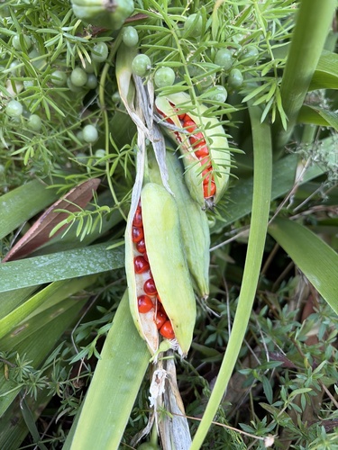
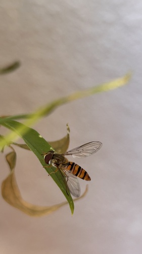
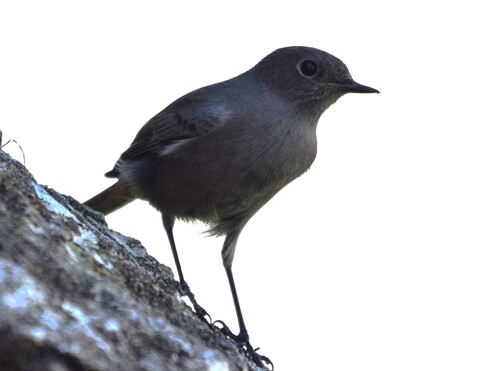
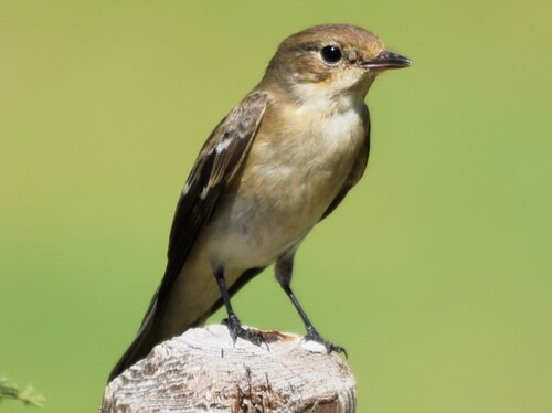
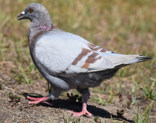
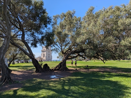
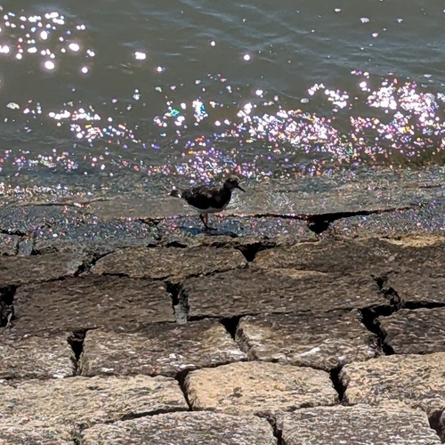
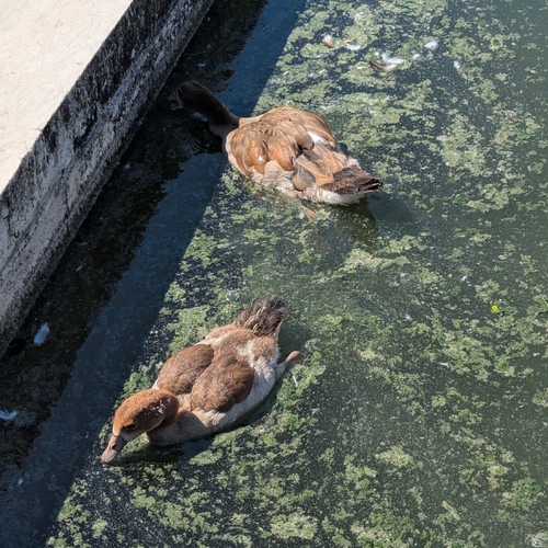
Research-grade observations from iNaturalist (within ~15 mi).
Events
Gallery
Sources
- • Wikipedia
- • Wikidata
- • iNaturalist
- • Open-Elevation
- • Open-Meteo / sunrise-sunset.org
- • Wikipedia Pageviews API
- • Open Library
- • Wikidata SPARQL (CC0) — population, area, elevation, inception, head of government, Commons image