Browse / Portugal / Porto / Valadares
Valadares
Portotown

Valadares
Total population
10,678
Demographic figures from INE Portugal. Overview below cites Wikipedia and may reference a different year.
City facts
Facts from Wikidata (CC0).
Overview
Valadares is a former civil parish in the municipality of Vila Nova de Gaia, Portugal. In 2013, the parish merged into the new parish Gulpilhares e Valadares. The population in 2011 was 10,678, in an area of 5.14 km2.
Read more on WikipediaHistory & geography
History
The name Valadares originates from the word "Vallado", that means obstacle. That may be the "Crasto de Valadares" a fortification from the second period of the Iron Age (450 b.C.). This "Crastos" on the northwest of Iberian Peninsula, goes from the 5th century B.C. to AD 5th century. In the Middle Ages, Valadares belonged to the Monastery of Grijó. During the first half of the 20th century, Valadares enjoyed a considerable development, being one of the most developed parishes of Gaia, due to the existence of the Cerâmica de Valadares, one important Train Station, Sanatoriums, several Schools and a theatre (Cine-teatro Eduardo Brazão).
Excerpted from the corresponding Wikipedia article (CC BY-SA).
Geography
Coordinates & boundaries from the US Census TIGER/Line shapefiles.
Climate
Air quality
Walkability
Amenities nearby
Wildlife & biodiversity
Earthquake history
Photos
Sights & places nearby
Notable people from here


People born within ~10 km, from Wikidata (CC0). Click any name for their Wikipedia article.
Geography & sun
Elevation, sunrise/sunset and daylight from Open-Meteo. Solar climatology from NASA POWER.
Nearby airports
Public attention
Pageview totals from the Wikimedia Pageviews API.
Books about this place
Recent natural events nearby
Ground air-quality sensors
Recently spotted species
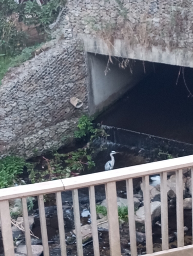
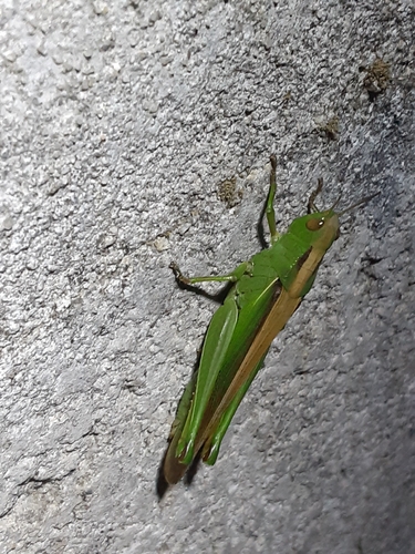
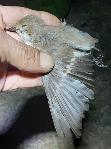
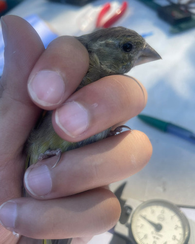
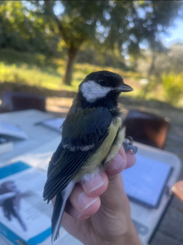
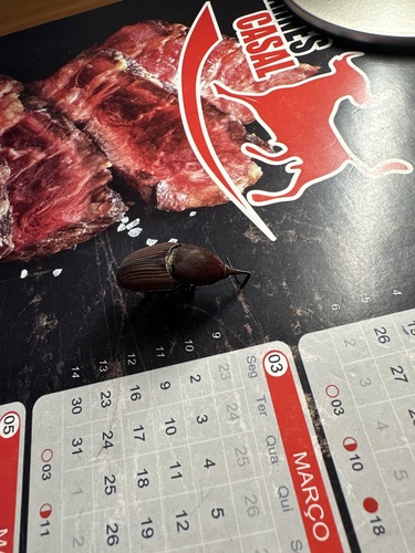
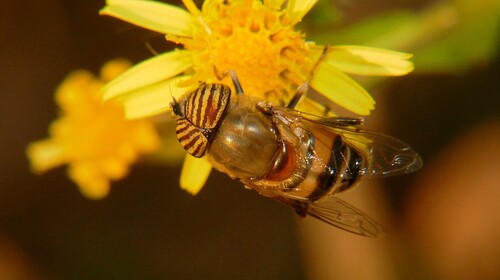
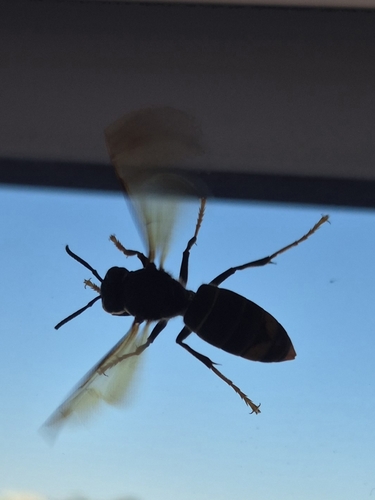
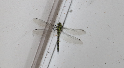
Research-grade observations from iNaturalist (within ~15 mi).
Events
Gallery
Sources
- • Wikipedia
- • Wikidata
- • iNaturalist
- • Open-Meteo / sunrise-sunset.org
- • Wikipedia Pageviews API
- • Wikidata SPARQL (CC0) — population, area, elevation, inception, head of government, Commons image