Browse / Portugal / Porto / Vila do Conde
Vila do Conde
Portocity

Vila do Conde
Total population
29,328
Demographic figures from INE Portugal. Overview below cites Wikipedia and may reference a different year.
City facts
Facts from Wikidata (CC0).
Overview
Vila do Conde is a municipality in the Norte Region of Portugal. The population in 2011 was 79,533, in an area of 149.03 km2. The urbanized area of Vila do Conde, which includes the parishes of Vila do Conde, Azurara and Árvore, represent 36,137 inhabitants. Vila do Conde is interlinked to the north with Póvoa de Varzim, forming a single urban agglomeration which is a part of the Porto Metropolitan Area. The town is on the Portuguese Way of the Camino de Santiago.
Read more on WikipediaHistory & geography
History
Vila do Conde is one of the oldest settlements in northern Portugal. Geological artifacts dating to the Paleolithic have been discovered in sites in the parishes of Modivas, Malta, and Labruge dating from 100,000 to 15,000 years. In other parishes there have also been discoveries of implements and mounds dating back to the Bronze Age and Neolithic periods indicating a period of transition between foraging and sedimentary civilizations. But its ancient origins date back to the Castro of São João (Hillfort of St. John), and other Iron Age castros, that include dispersed settlements in Retorta, Bagunte, Ferreiró, Vairão and Labruge. Later, King Dinis of Portugal bestowed on Maria Paes da Ribeira these seigneurial holdings (Dinis had long had many illegitimate children with the noblewoman). In 1318, Afonso Sanches (the illegitimate son of King Dinis of Portugal and Aldonça Rodrigues Telha) and Teresa Martins (daughter of João Afonso de Menez, Count of Barcelos, granddaughter of Sancho IV of Castile) and great-great-granddaughter of Maria Pais da Ribeira, founded the Monastery of Santa Clara. Later referred to as the Convent of Santa Clara, the construction of the monastery developed from the bad relationship between King Dinis and his wife, Queen Elizabeth of Portugal, due to the king's preference for his illegitimate son. The queen re-founded, in 1314, an abandoned monastery in Coimbra, which she renamed Santa Clara. This prompted King Dinis to sponsor and authorize Afonso Sanches to build a monastery of the same invocation on the right bank of the Ave river, where an ancient Celtic hillfort was located. The cornerstone was laid in 1318, and once completed it was deposited in the hands of the Franciscan Order, which he patronized throughout his life, eventually leaving…
Geography
Vila do Conde is located in the north-west coast of Portugal, surrounded by the municipalities of Vila Nova de Famalicão Municipality (east), Maia (southeast), Trofa (southeast), Matosinhos (south) and Póvoa de Varzim (north). Fronting the Atlantic Ocean and the Ave River (to its south), the municipality includes of beaches, in addition to extensive rural areas with fields and estates. Located from Porto, access to the municipality is completed through many of its transport networks: the A28 (linking Porto to Viana do Castelo), the EN13, a Metro line and the A11 roadway. The area of Vila do Conde is part of the granite-metamorphic basement, the Iberian Hercynian massif, that extends from the Spanish border to Espinho ( south of Porto). Over the Hercynian bedrock there is a prevalence of sandy beaches, and in other areas, the erosion of these sands has allowed the exposure of the rocky substrata. There are also deformations associated with the last inter-glacial period, that have affected these sedimentary layers, most commonly in the beach of Sampaio, where deposits have been discovered between various altitudes (5 and 9 metres).
Excerpted from the corresponding Wikipedia article (CC BY-SA).
Geography
Coordinates & boundaries from the US Census TIGER/Line shapefiles.
Climate
Air quality
Walkability
Amenities nearby
Wildlife & biodiversity
Earthquake history
Photos
Sights & places nearby
Notable people from here
Nearby places in Porto
- Ferreiró9.3 mi away
- Casais23.2 mi away · pop. 1,401
- Meinedo26.5 mi away · pop. 4,052
- Dar Mtaa el Anabra565.2 mi away
- Muhammad Salah595.7 mi away
- Sabra597.3 mi away · pop. 28,555
- Zalboun599.3 mi away
- Ain Taslit604.8 mi away
- Olib1205.2 mi away · pop. 117
- Veli Rat1208.3 mi away · pop. 91
- Brgulje1208.4 mi away · pop. 63
- Zverinac1211.5 mi away · pop. 55
Geography & sun
Elevation, sunrise/sunset and daylight from Open-Meteo. Solar climatology from NASA POWER.
Nearby airports
Public attention
Pageview totals from the Wikimedia Pageviews API.
Books about Vila do Conde
Search results from Open Library.
Recent natural events nearby
Ground air-quality sensors
Recently spotted species
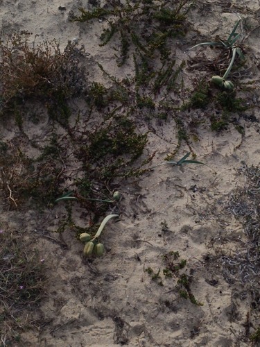
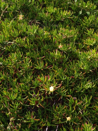
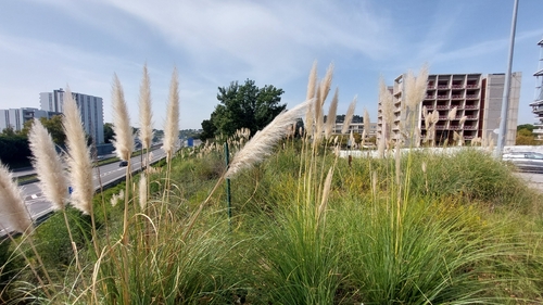
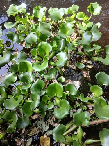
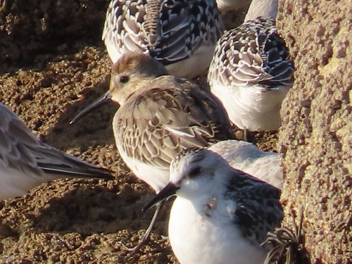
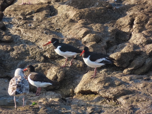
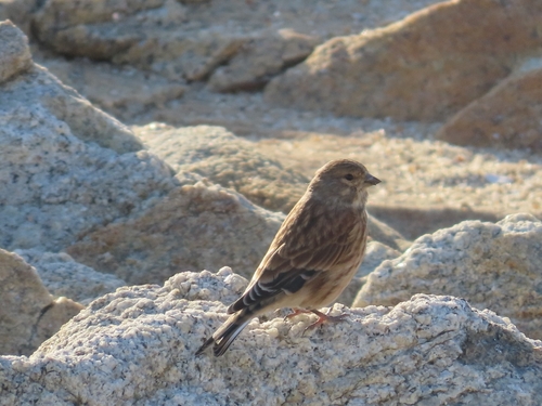
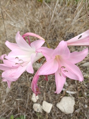
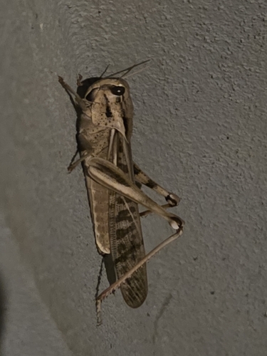
Research-grade observations from iNaturalist (within ~15 mi).
Events
Notable, recurring, and historical events associated with Vila do Conde, sourced from Wikidata.
Source: Wikidata (CC0).
Gallery
Sources
- • Wikipedia
- • Wikidata
- • iNaturalist
- • Open-Meteo / sunrise-sunset.org
- • Wikipedia Pageviews API
- • Open Library
- • Wikidata SPARQL (CC0) — population, area, elevation, inception, head of government, Commons image