Browse / Portugal / Vila Real / Vila Real
Vila Real
Vila Realcity

Vila Real
Total population
27,735
Demographic figures from INE Portugal. Overview below cites Wikipedia and may reference a different year.
City facts
Facts from Wikidata (CC0).
Overview
Vila Real is the capital and largest city of the Vila Real District, in the North region, Portugal. It is also the seat of the Douro intermunicipal community and of the Trás-os-Montes e Alto Douro historical province. The Vila Real municipality covers an area of 378.80 square kilometres (146.26 sq mi) and is home to an estimated population of 49,574 (2021), of which about 30,000 live in the urban area (2021).
Read more on WikipediaHistory & geography
History
The region shows traces of inhabitation during the Paleolithic era, while the settlement of Panóias and the Panóias Sanctuary had a Roman presence. However, with the barbaric and Muslim invasions there was a gradual depopulation. At the end of the 11th century, in 1096, Henry, Count of Portugal wrote a foral, a royal document whose purpose was to establish and regulate a town, establishing Constantim de Panóias (now the city's neighbouring village of Constantim) as a way to repopulate the region. In 1272, as a new incentive to repopulation, King Afonso III of Portugal wrote another unsuccessful foral, this time to establish Vila Real de Panóias. Only in 1289, in a second foral directed at the town written by King Denis of Portugal was there success in establishing Vila Real de Panóias, whose name, meaning Royal Town, is a testimony to its origin by royal decree. Vila Real's privileged location at the crossroad between the Porto-Bragança and Viseu-Chaves roads allowed for a sustained growth over the centuries. Starting from the 17th century, the House of Vila Real attracted the nobility to an extent that during that time the city housed more members of the royal family than any other settlement in Portugal except the capital in Lisbon, and family coats of arms remain above old houses and manors, some of which are still occupied by those families. Vineyards were introduced to the municipality in 1764, growing red, white and rosé wines for export. Despite its royal presence, Vila Real remained with the status of town until the increase in population in the 19th century, which led to it gaining the status of capital of the Vila Real District and the historic province of Trás-os-Montes e Alto Douro. The Roman Catholic Diocese of Vila Real was created in 1922 from the…
Excerpted from the corresponding Wikipedia article (CC BY-SA).
Geography
Coordinates & boundaries from the US Census TIGER/Line shapefiles.
Climate
Air quality
Walkability
Amenities nearby
Wildlife & biodiversity
Earthquake history
Photos
Sights & places nearby
Notable people from here


People born within ~10 km, from Wikidata (CC0). Click any name for their Wikipedia article.
Geography & sun
Elevation, sunrise/sunset and daylight from Open-Meteo. Solar climatology from NASA POWER.
Nearby airports
Public attention
Pageview totals from the Wikimedia Pageviews API.
Books about Vila Real


Search results from Open Library.
Recent natural events nearby
Ground air-quality sensors
Recently spotted species
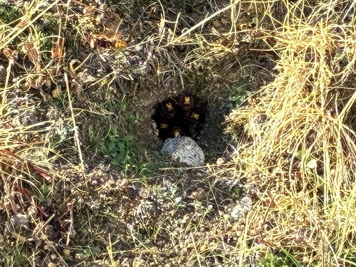

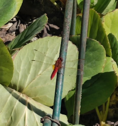
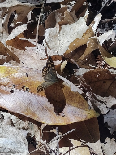
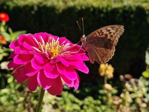
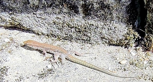
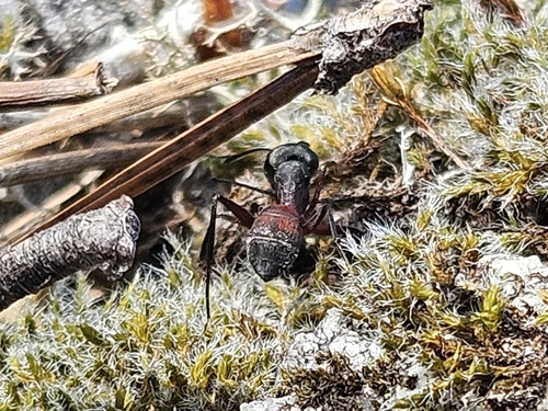
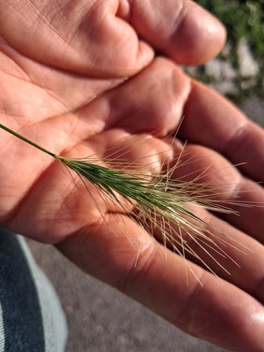
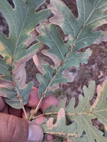
Research-grade observations from iNaturalist (within ~15 mi).
Events
Gallery
Sources
- • Wikipedia
- • Wikidata
- • iNaturalist
- • Open-Meteo / sunrise-sunset.org
- • Wikipedia Pageviews API
- • Open Library
- • Wikidata SPARQL (CC0) — population, area, elevation, inception, head of government, Commons image