Browse / Romania / Cluj / Aiton
Aiton
Clujvillage

Aiton
Total population
831
Demographic figures from INS Romania. Overview below cites Wikipedia and may reference a different year.
City facts
Sister cities
Facts from Wikidata (CC0).
Overview
Aiton is a commune in Cluj County, Transylvania, Romania. It is composed of two villages, Aiton and Rediu (Rőd).
Read more on WikipediaHistory & geography
History
Traces of several ancient neolithic settlements (of which Vinča culture from the 4th millennium BC), as well as evidence indicative of the Bronze Age, the Iron Age, the Roman conquest, and the Migration Period, were discovered in the village. Within the surrounding area, a tomb of incineration from the 1st century BC and a rustic villa have also been found; the latter in which a Dacian fruit tree from the 2nd century BC has been discovered. During the Roman period, the locality was situated on the Roman road of Potaissa-Napoca. Initially, a portion of the commune was left uncovered in the yard adjacent to the school, marked by a colonette reproducing the inscription on the milestone of 108. As of 2017, however, the site is covered in waste products. The area was historically the center of a Spanish equestrian unit. The first documented reference to the village of Aiton with the name Villa Ohthunth dates back to 1320, and in 1329, the toponym of Ahthon was attributed to the settlement. Since 1456, it appears under the current name of Ayton. In 1658, the locality was burned, following a Turkish and Tatar invasion. In the 18th century, a milestone named Aiton Biliar from the Roman period was discovered. This marked a distance on the Potaissa-Napoca. The landmark attests the existence of a road built in 108 AD by the Cohors I Hispanorum Miliaria. A copy of this landmark is displayed in Turda, yet another is displayed in front of the school of Aiton. On the Josephine Map of Transylvania from 1769 to 1773 (section 095), Aiton appears under the name of Ajton. The northern and southeastern parts of the village are marked by "Gericht" and by the sign of two public places of punishment of the delinquents in the medieval period. The following objectives of the village of…
Geography
The commune is situated in the northern foothills of the Apuseni Mountains, at a mean altitude ov . The presence of large deposits of halite and saltwater springs within the perimeter of the commune have been identified. Located in the central part of Cluj County, Aiton belongs to the Cluj-Napoca metropolitan area.
Excerpted from the corresponding Wikipedia article (CC BY-SA).
Geography
Coordinates & boundaries from the US Census TIGER/Line shapefiles.
Climate
Air quality
Walkability
Amenities nearby
Wildlife & biodiversity
Most-observed species
- Hooded CrowCorvus cornix Linnaeus, 1758 · Aves971
- Great TitParus major Linnaeus, 1758 · Aves955
- RookCorvus frugilegus Linnaeus, 1758 · Aves779
- Eurasian BlackbirdTurdus merula Linnaeus, 1758 · Aves665
- Rock PigeonColumba livia J.F.Gmelin, 1789 · Aves657
- Eurasian Blue TitCyanistes caeruleus (Linnaeus, 1758) · Aves593
- Common ChaffinchFringilla coelebs Linnaeus, 1758 · Aves582
- MallardAnas platyrhynchos Linnaeus, 1758 · Aves581
Citizen-science & research observations from the Global Biodiversity Information Facility (GBIF).
Earthquake history
Most recent
- M 2.6 — 2006-12-0810 km NNW of Horea, Romania
- M 3.1 — 2005-05-174 km SSE of M?rg?u, Romania
Events from the USGS Earthquake Catalog (global) (FDSN Event Web Service).
Photos
Sights & places nearby
Notable people from here
Nearby places in Cluj
- Rediu2.4 mi away · pop. 795
- Boju2.6 mi away · pop. 631
- Pata3 mi away · pop. 600
- Ceanu Mic3.2 mi away · pop. 546
- Gheorghieni3.3 mi away · pop. 1,226
- Bodrog3.5 mi away · pop. 81
- Mărtinești3.6 mi away · pop. 371
- Crairât4 mi away · pop. 116
- Sărădiș4 mi away · pop. 102
- Vâlcele4.5 mi away · pop. 939
- Boj-Cătun4.7 mi away · pop. 147
- Tureni4.8 mi away
Geography & sun
Elevation, sunrise/sunset and daylight from Open-Meteo. Solar climatology from NASA POWER.
Nearby airports
Public attention
Pageview totals from the Wikimedia Pageviews API.
Books about this place
Recent natural events nearby
Ground air-quality sensors
Recently spotted species
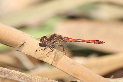
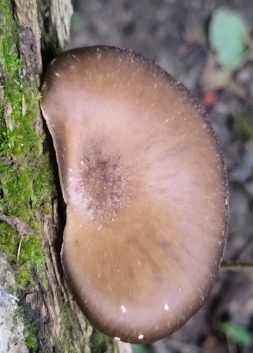
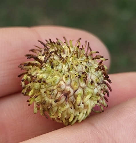
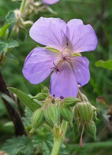
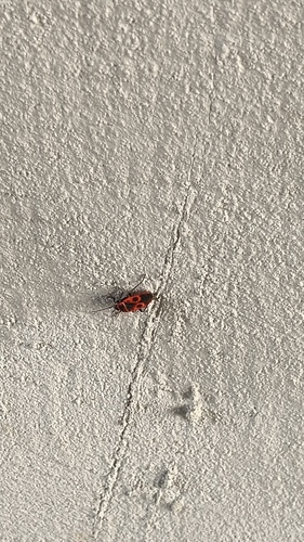
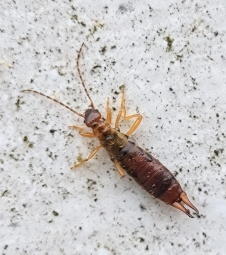
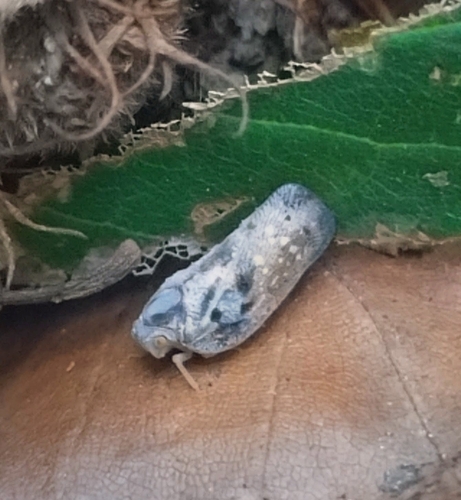
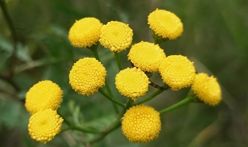
Research-grade observations from iNaturalist (within ~15 mi).
Events
Gallery
Sources
- • Wikipedia
- • Wikidata
- • USGS Earthquake Catalog (global feed)
- • GBIF (Global Biodiversity Information Facility)
- • iNaturalist
- • Open-Meteo / sunrise-sunset.org
- • Wikipedia Pageviews API