Browse / Romania / Sibiu / Axente Sever
Axente Sever
Sibiuvillage

Axente Sever
Total population
2,247
Founded
1305
Air quality index
Demographic figures from INS Romania. Overview below cites Wikipedia and may reference a different year.
City facts
Facts from Wikidata (CC0).
Overview
Axente Sever is a commune located in Sibiu County, Transylvania, Romania, named after Ioan Axente Sever.
Read more on WikipediaHistory & geography
History
Archeological remains from the Neolithic, early Bronze Age, early Iron Age, and Roman period have all been found in the area around the village. In the 12th century, Saxons settled the area, and constructed a gothic fortified church on the ruins of an older church. Documents attest that this church was standing by at least 1330. After 1570, the settlement became part of the Principality of Transylvania. In 1876, it fell within the Nagy-Küküllő County of the Kingdom of Hungary. In the aftermath of World War I, the Union of Transylvania with Romania was declared in December 1918. At the start of the Hungarian–Romanian War of 1918–1919, the locality passed under Romanian administration; after the Treaty of Trianon of 1920, it became part of the Kingdom of Romania. In 1925, it fell within Plasa Șeica Mare of Târnava-Mare County. After the establishment of the Romanian People's Republic in 1947 and the subsequent administrative reform of 1950, Axente Sever became part of the , and from 1952, the Stalin Region (renamed Brașov Region in 1960). In 1968, the old administrative division of județ was reinstated, and the commune became part of Sibiu County.
Geography
The commune is situated on the Transylvanian Plateau, at an altitude of , on the banks of the river Vișa. Located in the northern part of Sibiu County, just south of the town of Copșa Mică, it is crossed by national road . The closest city is Mediaș, to the northeast; the county seat, Sibiu, is to the south. The Axente Sever halt serves the CFR rail line 208, which runs north from Sibiu to Copșa Mică. The route of the Via Transilvanica long-distance trail passes through the villages of Axente Sever and Agârbiciu.
Excerpted from the corresponding Wikipedia article (CC BY-SA).
Geography
Coordinates & boundaries from the US Census TIGER/Line shapefiles.
Climate
Air quality
Current readings from Open-Meteo Air Quality API (Copernicus CAMS European reanalysis).
Walkability
Amenities nearby
Wildlife & biodiversity
Most-observed species
- False-acaciaRobinia pseudoacacia L. · Magnoliopsida52
- Annual FleabaneErigeron annuus (L.) Pers. · Magnoliopsida29
- Canadian GoldenrodSolidago canadensis L. · Magnoliopsida26
- Common MilkweedAsclepias syriaca L. · Magnoliopsida22
- Ashleaf MapleAcer negundo L. · Magnoliopsida17
- Common RavenCorvus corax Linnaeus, 1758 · Aves14
- Common BuzzardButeo buteo (Linnaeus, 1758) · Aves12
- Honey-LocustGleditsia triacanthos L. · Magnoliopsida11
Citizen-science & research observations from the Global Biodiversity Information Facility (GBIF).
Earthquake history
Most recent
- M 4.3 — 2015-12-297 km WNW of Brezoi, Romania
- M 2.5 — 2006-06-084 km NE of C?p??ânenii P?mânteni, Romania
Events from the USGS Earthquake Catalog (global) (FDSN Event Web Service).
Photos
Sights & places nearby
Notable people from here


People born within ~10 km, from Wikidata (CC0). Click any name for their Wikipedia article.
Nearby places in Sibiu
- Copșa Mică1.4 mi away · pop. 5,332
- Agârbiciu2.1 mi away · pop. 1,522
- Valea Viilor3.1 mi away · pop. 1,445
- Șoala3.4 mi away · pop. 331
- Chesler3.7 mi away · pop. 189
- Văleni4.6 mi away · pop. 26
- Târnava4.9 mi away · pop. 1,368
- Șeica Mică4.9 mi away · pop. 1,191
- Micăsasa5.2 mi away · pop. 1,529
- Colonia Târnava5.2 mi away · pop. 1,394
- Șeica Mare5.6 mi away · pop. 3,501
- Boarta6 mi away · pop. 564
Geography & sun
Elevation, sunrise/sunset and daylight from Open-Meteo. Solar climatology from NASA POWER.
Nearby airports
Public attention
Pageview totals from the Wikimedia Pageviews API.
Books about Axente Sever
Search results from Open Library.
Recent natural events nearby
Ground air-quality sensors
Recently spotted species
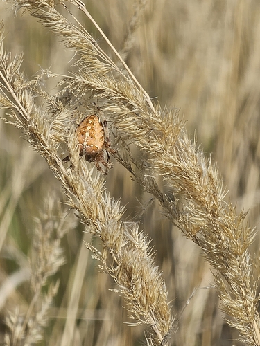
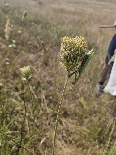
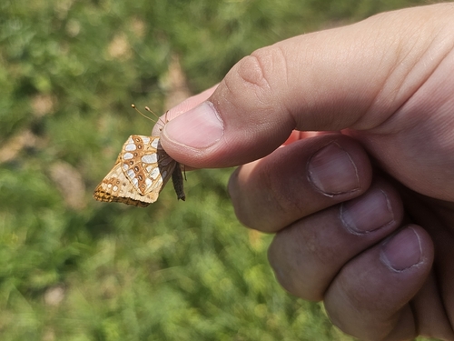
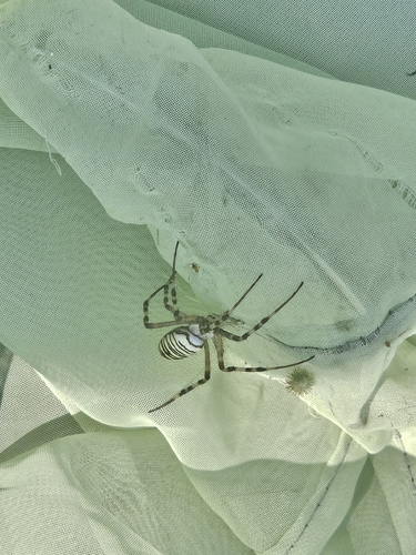
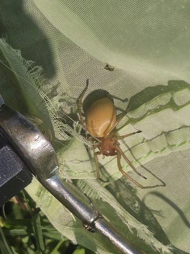
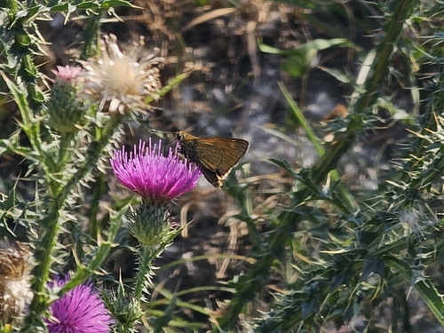
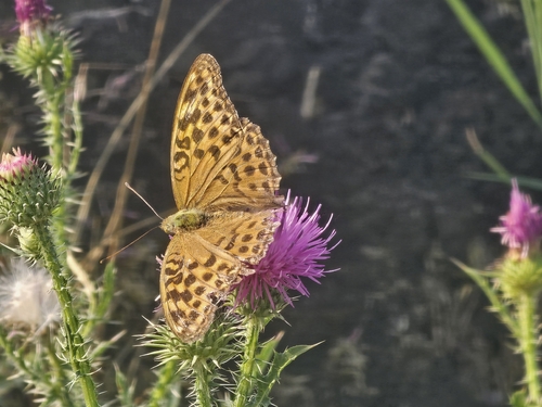
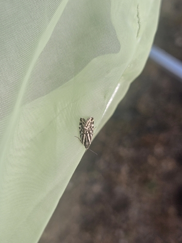
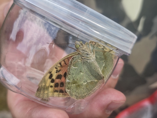
Research-grade observations from iNaturalist (within ~15 mi).
Events
Gallery
Sources
- • Wikipedia
- • Wikidata
- • Open-Meteo Air Quality (CAMS)
- • USGS Earthquake Catalog (global feed)
- • GBIF (Global Biodiversity Information Facility)
- • iNaturalist
- • Open-Meteo / sunrise-sunset.org
- • Wikipedia Pageviews API
- • Open Library