Browse / Romania / Neamț / Bălțătești
Bălțătești
Neamțvillage
Total population
1,463
Air quality index
Demographic figures from INS Romania. Overview below cites Wikipedia and may reference a different year.
City facts
Overview
Bălțătești, a small village in Neamț, Romania, forms part of the country's settled landscape. Its coordinates of 47.126°, 26.310° place it in the temperate zone of the northern hemisphere. Census-style estimates put the resident count near 1,463. Based on its temperate position, residents likely encounter four distinct seasons with warm summers and cold winters. The location receives about 1,289 kWh/m² of solar irradiance per year and sunshine for roughly 50% of daylight hours. Additional figures on demographics, climate, geography and points of interest appear in the sections that follow, all drawn from open public datasets.
Summary composed automatically from structured open data on this page. See our Terms for details.
History & geography
Geography
Coordinates & boundaries from the US Census TIGER/Line shapefiles.
Climate
Air quality
Current readings from Open-Meteo Air Quality API (Copernicus CAMS European reanalysis).
Walkability
Amenities nearby
Wildlife & biodiversity
Earthquake history
Most recent
- M 4.3 — 2021-08-013 km W of Vulture?ti, Romania
- M 4.4 — 2020-10-293 km ESE of Negre?ti, Romania
- M 4.4 — 2011-06-243 km SE of Ostra, Romania
- M 4.1 — 2005-02-132 km N of Or??eni-Deal, Romania
Events from the USGS Earthquake Catalog (global) (FDSN Event Web Service).
Photos
Sights & places nearby
Notable people from here
Nearby places in Neamț
- Valea Arini0.9 mi away · pop. 1,326
- Valea Seacă1.1 mi away · pop. 1,530
- Ghindăoani1.8 mi away · pop. 2,510
- Văratec1.9 mi away · pop. 851
- Crăcăoani2.2 mi away · pop. 2,092
- Filioara3.2 mi away · pop. 1,062
- Săcălușești3.4 mi away · pop. 623
- Agapia3.5 mi away · pop. 1,821
- Poiana Crăcăoani3.9 mi away · pop. 95
- Humuleștii Noi4.3 mi away · pop. 488
- Topolița4.6 mi away · pop. 1,621
- Vânători-Neamț6 mi away · pop. 4,973
Geography & sun
Elevation, sunrise/sunset and daylight from Open-Meteo. Solar climatology from NASA POWER.
Nearby airports
Public attention
Books about this place
Recent natural events nearby
Ground air-quality sensors
Recently spotted species
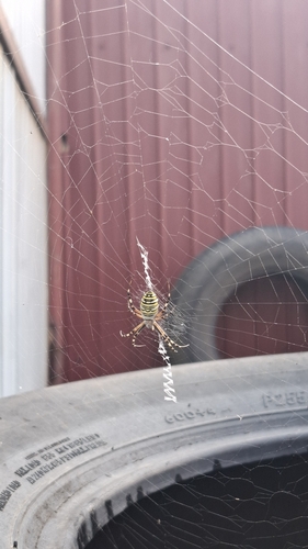
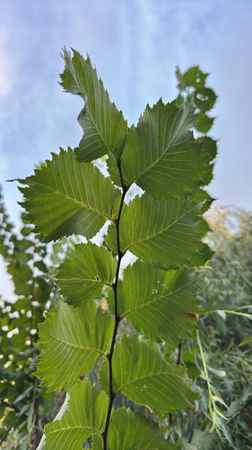
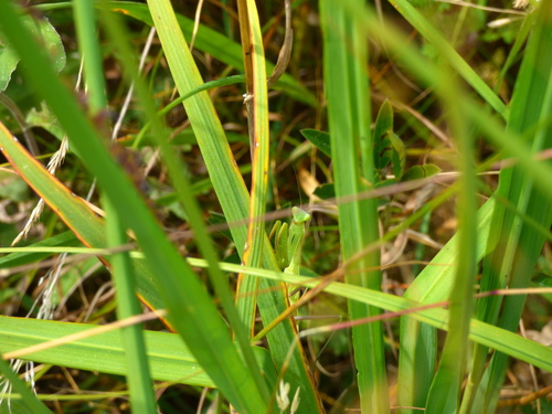
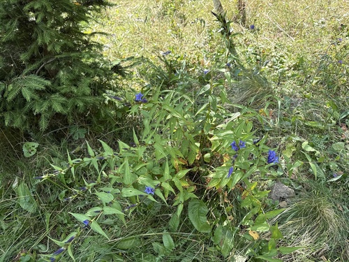
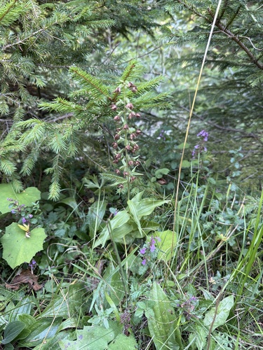
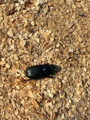
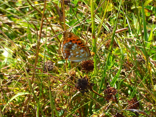
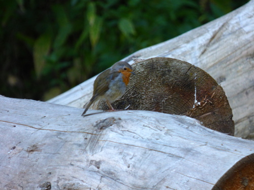
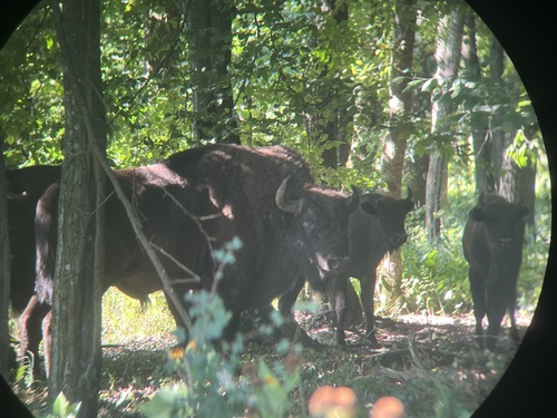
Research-grade observations from iNaturalist (within ~15 mi).
Events
Gallery
Sources
- • Open-Meteo Air Quality (CAMS)
- • USGS Earthquake Catalog (global feed)
- • iNaturalist
- • Open-Elevation
- • Open-Meteo / sunrise-sunset.org