Browse / Romania / Timiș / Bara
Bara
Timișvillage

Bara
Total population
216
Demographic figures from INS Romania. Overview below cites Wikipedia and may reference a different year.
City facts
Facts from Wikidata (CC0).
Overview
Bara is a commune in Timiș County, Romania. It is composed of five villages: Bara, Dobrești, Lăpușnic, Rădmănești and Spata. Bara is located in the northeast of Timiș County, in a hilly area, 70 km (43 mi) from Timișoara and 30 km (19 mi) from Lugoj. It is the least populated of the communes of Timiș County and the 6th commune with the smallest population in Romania.
Read more on WikipediaHistory & geography
History
The first recorded mention of Bara dates from 1367. The name Bara is of Slavic origin and, in medieval documents, is associated with the description "terra acquosa", meaning a marshy land. In 1440 Bara is taken from the prefect of Timiș by King Vladislav I and given to the Șoimoș Fortress. By 1477 it was the property of the prefect of Pozsony, Miklós Bánffy. Under the Turks it was destroyed and re-established in 1690–1700. In 1879 Bara was bought by Pavel Teodorescu and Constantin Florea. The village was Romanian and remained mostly Romanian during the Austro-Hungarian rule. All the villages in the commune were massively depopulated after World War II. Spata, for instance, became a ghost village in 1997 with the death of the last native. However, the settlement was repopulated by several families of Transylvanian shepherds.
Excerpted from the corresponding Wikipedia article (CC BY-SA).
Geography
Coordinates & boundaries from the US Census TIGER/Line shapefiles.
Climate
Air quality
Walkability
Amenities nearby
Wildlife & biodiversity
Most-observed species
- False-acaciaRobinia pseudoacacia L. · Magnoliopsida85
- RagweedAmbrosia artemisiifolia L. · Magnoliopsida44
- Johnson-grassSorghum halepense (L.) Pers. · Liliopsida31
- Eurasian MagpiePica pica (Linnaeus, 1758) · Aves26
- Annual FleabaneErigeron annuus (L.) Pers. · Magnoliopsida22
- Canadian FleabaneErigeron canadensis L. · Magnoliopsida22
- Jerusalem ArtichokeHelianthus tuberosus L. · Magnoliopsida21
- Desert false indigo, False indigo-bush, Bastard indigobushAmorpha fruticosa L. · Magnoliopsida18
Citizen-science & research observations from the Global Biodiversity Information Facility (GBIF).
Earthquake history
Most recent
- M 4.3 — 2024-08-105 km NNE of Ohaba Lungă, Romania
- M 4.7 — 2023-06-066 km SW of Frumu?eni, Romania
- M 4.1 — 2023-05-222 km S of Fântânele, Romania
- M 2.9 — 2016-03-182 km SSE of Carani, Romania
- M 4.1 — 2014-10-311 km NNE of Teregova, Romania
- M 4.6 — 2013-09-081 km WSW of General Berthelot, Romania
Events from the USGS Earthquake Catalog (global) (FDSN Event Web Service).
Photos
Sights & places nearby
Notable people from here

People born within ~10 km, from Wikidata (CC0). Click any name for their Wikipedia article.
Nearby places in Timiș
- Lăpușnic2.4 mi away · pop. 89
- Spata2.5 mi away · pop. 12
- Secaș2.6 mi away · pop. 204
- Rădmănești2.7 mi away · pop. 66
- Vizma2.7 mi away · pop. 12
- Crivobara2.8 mi away · pop. 67
- Fădimac3.3 mi away · pop. 269
- Dobrești3.4 mi away · pop. 44
- Cladova5.1 mi away · pop. 537
- Paniova5.1 mi away · pop. 341
- Ohaba Română5.2 mi away · pop. 353
- Cutina5.3 mi away · pop. 396
Geography & sun
Elevation, sunrise/sunset and daylight from Open-Meteo. Solar climatology from NASA POWER.
Nearby airports
Public attention
Pageview totals from the Wikimedia Pageviews API.
Books about Bara
Search results from Open Library.
Recent natural events nearby
Ground air-quality sensors
Recently spotted species
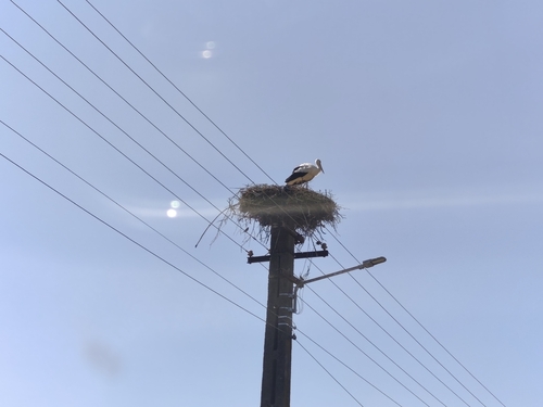
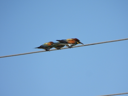
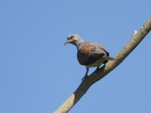
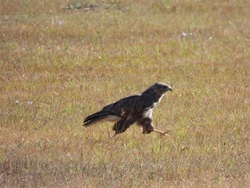
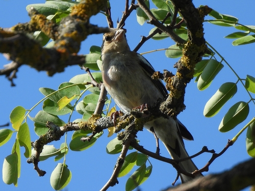
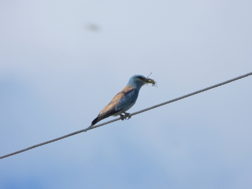
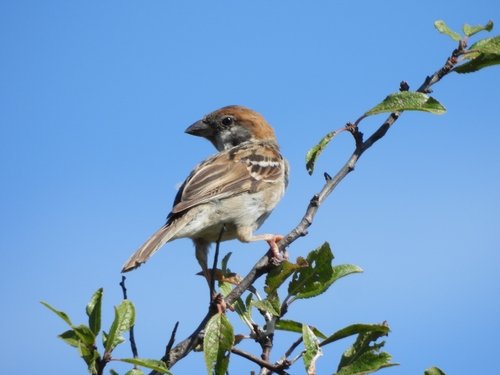
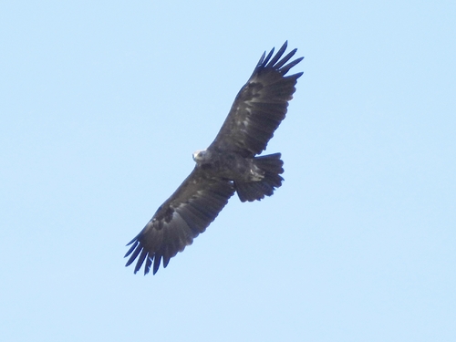
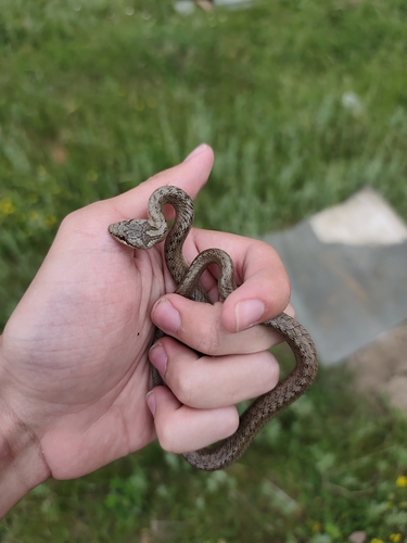
Research-grade observations from iNaturalist (within ~15 mi).
Events
Gallery
Sources
- • Wikipedia
- • Wikidata
- • USGS Earthquake Catalog (global feed)
- • GBIF (Global Biodiversity Information Facility)
- • iNaturalist
- • Open-Meteo / sunrise-sunset.org
- • Wikipedia Pageviews API
- • Open Library