Browse / Romania / Dolj / Busulețu
Busulețu
Doljvillage
Total population
43
Air quality index
Demographic figures from INS Romania. Overview below cites Wikipedia and may reference a different year.
City facts
Overview
Busulețu, a tiny village in Dolj, Romania, forms part of the country's settled landscape. Recent open-data figures place its population at about 43. Located at 44.463°, 23.248°, Busulețu occupies a temperate portion of the northern hemisphere. Based on its temperate position, residents likely encounter four distinct seasons with warm summers and cold winters. The location receives about 1,398 kWh/m² of solar irradiance per year and sunshine for roughly 55% of daylight hours. Long-term weather observations show average highs near 63.1°F and lows near 46.5°F with about 26.1 in of annual precipitation (a moderate total). Further detail — demographics, climate, nearby amenities and natural-hazard data — is compiled below from public open-data sources.
Summary composed automatically from structured open data on this page. See our Terms for details.
History & geography
Geography
Coordinates & boundaries from the US Census TIGER/Line shapefiles.
Climate
10-year averages from ERA5 reanalysis (Open-Meteo).
Air quality
Current readings from Open-Meteo Air Quality API (Copernicus CAMS European reanalysis).
Walkability
Amenities nearby
Wildlife & biodiversity
Most-observed species
- Yellow CrocusCrocus flavus Weston · Liliopsida54
- RagweedAmbrosia artemisiifolia L. · Magnoliopsida24
- False-acaciaRobinia pseudoacacia L. · Magnoliopsida13
- Sweet-scented HelleboreHelleborus odorus Waldst. & Kit. ex Willd. · Magnoliopsida13
- Tree-of-HeavenAilanthus altissima (Mill.) Swingle · Magnoliopsida10
- Rosy TabbyEndotricha flammealis (Denis & Schiffermüller), 1775 · Insecta9
- White MulberryMorus alba L. · Magnoliopsida9
- Lamoria anella (Denis & Schiffermüller), 1775Lamoria anella (Denis & Schiffermüller), 1775 · Insecta8
Citizen-science & research observations from the Global Biodiversity Information Facility (GBIF).
Earthquake history
Most recent
- M 4.2 — 2024-04-306 km S of Eşelniţa, Romania
- M 4.3 — 2023-08-203 km S of Stăneşti, Romania
- M 4 — 2023-07-184 km SSW of Peştişani, Romania
- M 4.9 — 2023-03-202 km SSE of Arcani, Romania
- M 4 — 2023-02-223 km SSE of Pe?ti?ani, Romania
- M 4.5 — 2023-02-17Romania
Events from the USGS Earthquake Catalog (global) (FDSN Event Web Service).
Photos
Sights & places nearby
Notable people from here


People born within ~10 km, from Wikidata (CC0). Click any name for their Wikipedia article.
Geography & sun
Elevation, sunrise/sunset and daylight from Open-Meteo. Solar climatology from NASA POWER.
Nearby airports
Public attention
Books about this place
Recent natural events nearby
Ground air-quality sensors
Recently spotted species
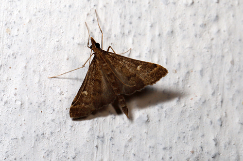
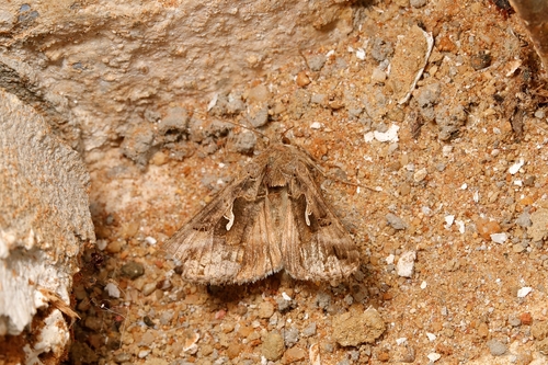
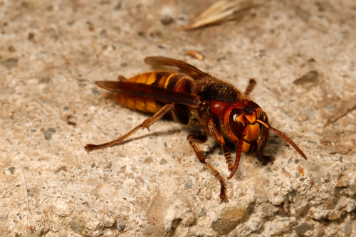
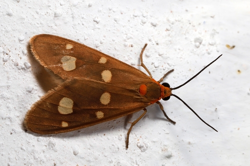
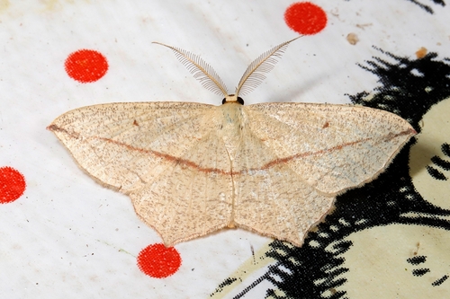
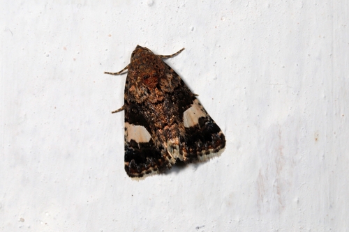
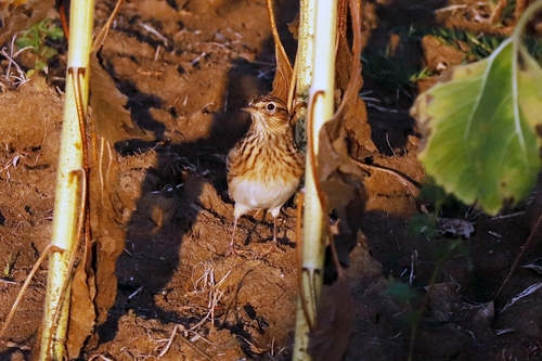
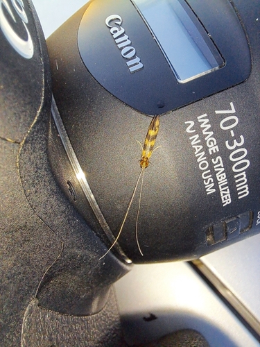
Research-grade observations from iNaturalist (within ~15 mi).
Events
Gallery
Official Identifiers
INS — National Institute of Statistics (Romania)
- SIRUTA
- 72855
- Population (Wikidata)
- 52
- Wikidata
- Q12085896
SIRUTA via Wikidata P843
Sources
- • Open-Meteo (ERA5 reanalysis)
- • Wikidata
- • Open-Meteo Air Quality (CAMS)
- • USGS Earthquake Catalog (global feed)
- • GBIF (Global Biodiversity Information Facility)
- • iNaturalist
- • Open-Elevation
- • Open-Meteo / sunrise-sunset.org
- • INS — National Institute of Statistics (Romania) — SIRUTA via Wikidata P843