Browse / Romania / Argeș / Câmpulung
Câmpulung
Argeșcity

Câmpulung
Total population
43,552
Demographic figures from INS Romania. Overview below cites Wikipedia and may reference a different year.
City facts
Overview
Câmpulung is a city in Argeș County, Muntenia, Romania. It is attested on the Fra Mauro map from 1450 as Campo longo. It is situated among the outlying hills of the Southern Carpathians, at the head of a long well-wooded glen traversed by the river Târgului, a tributary of the river Argeș.
Read more on WikipediaHistory & geography
History
Near Câmpulung are the remains of Jidava (or Jidova) Roman fort built around 190–211 AD on the frontier of the empire, the Limes Transalutanus; and just next to it, vestiges of a Roman colony, variously identified with Romula, Stepenium, and Ulpia Traiana. Now called Grădiștea (meaning place of a fortress in Romanian) or Jidovi. the full text being Hic sepultus est comes Laurencius de Longo-Campo, pie memorie, Anno Domini MCCC ("Here is buried count Laurentius of Longus-Campus, in pious memory, Anno Domini 1300"). Laurentius was most likely the person coordinating the colonization process. The oldest known written document in Old Romanian was dated back to 1521 (Neacșu's letter). The letter was written to warn the city of Brașov of an impending Ottoman attack. The letter, written in Old Romanian, names the city in the introductory part written in Old Church Slavonic as Dlăgopole — Длъгополь (with the same meaning — "a long field"). When the printing press started to get popular in Europe, Matei Basarab managed to bring a printing press in Câmpulung in 1635 where Orthodox books would be printed and would be sent all over the Balkan peninsula for Orthodox people. This did not last long and in 1650 there weren't records of books being printed after that. During the reign of Șerban Cantacuzino (1678–1688), pressure was exerted to change the Catholic judges of Câmpulung to Eastern Orthodox. Originally, the Romanians of the town did not have the same rights as the German colonists, but by the 15th century, the two communities were already merged, as shown by the new Romanian churches built near the Catholic areas and by the fact that some of the elected județs were Romanians. Another community in the town were the Bogomil Bulgarians, who settled in the Șchei…
Geography
The town is located in the northeastern part of the county, within the depression that bears its name, at an elevation of 580–780 meters (1,900–2,560 feet), in the Argeș Hills, at the foothills of the Iezer Mountains, along the banks of the Târgului River.Câmpulung is crossed by National Road DN73, which connects Pitești and Brașov. The town lies 52 km (32 miles) from Pitești and 84 km (52 miles) from Brașov. In Câmpulung, DN73 branches into County Road DJ737, which runs southeast to Mioarele and Boteni, where it ends at DN73D; County Road DJ734, which heads north to Lerești; and County Road DJ732C, which runs west to Bughea de Jos, Godeni (where it intersects with DN73C), and Schitu Golești, where it reconnects with DN73. By rail, the town is served by the Câmpulung and Parc Krețulescu stations. The latter is the terminus of a railway line running south to Golești, where it joins the Bucharest - Pitești railway line. The town has a warm-summer humid continental climate (Dfb) according to the Köppen climate classification, with a mean annual temperature of approximately 9-10 °C. During the winter months, average temperatures are below freezing. In January, the coldest month of the year, the average temperature in Câmpulung is around -1 to 0 °C. Summers are generally mild, with relatively small year-to-year temperature fluctuations, rarely exceeding 3 °C. Spring and autumn temperatures fall between the seasonal extremes of summer and winter. Average spring temperatures range from 8 °C to 13 °C, while autumn temperatures are typically 1-3 °C higher than those recorded in spring. The annual temperature amplitude generally ranges between 8.4 °C and 12.4 °C. Precipitation, influenced by atmospheric humidity and cloud cover, varies seasonally. The Subcarpathian region…
Excerpted from the corresponding Wikipedia article (CC BY-SA).
Geography
Coordinates & boundaries from the US Census TIGER/Line shapefiles.
Climate
Air quality
Walkability
Amenities nearby
Wildlife & biodiversity
Most-observed species
- Annual FleabaneErigeron annuus (L.) Pers. · Magnoliopsida51
- Canadian FleabaneErigeron canadensis L. · Magnoliopsida50
- False-acaciaRobinia pseudoacacia L. · Magnoliopsida42
- Bohemian knotweedReynoutria ×bohemica Chrtek & Chrtková · Magnoliopsida38
- Cherry PlumPrunus cerasifera Ehrh. · Magnoliopsida36
- Californian Burr, Burweed, CockleburXanthium orientale L. · Magnoliopsida33
- Black RedstartPhoenicurus ochruros (S.G.Gmelin, 1774) · Aves26
- Red-backed ShrikeLanius collurio Linnaeus, 1758 · Aves25
Citizen-science & research observations from the Global Biodiversity Information Facility (GBIF).
Earthquake history
Most recent
- M 4.6 — 2026-08-119 km ESE of Vama Buzăului, Romania
- M 4.1 — 2023-06-192 km SE of Cașoca, Romania
- M 4.2 — 2021-08-111 km SSW of Lunca Jari?tei, Romania
- M 4.3 — 2020-03-198 km NNW of Glod, Romania
- M 4.1 — 2019-09-07Romania
- M 4.6 — 2019-09-034 km NW of Lunca Jari?tei, Romania
Events from the USGS Earthquake Catalog (global) (FDSN Event Web Service).
Photos
Sights & places nearby
Notable people from here


People born within ~10 km, from Wikidata (CC0). Click any name for their Wikipedia article.
Nearby places in Argeș
- Bughea de Sus2 mi away · pop. 2,849
- Bughea de Jos2 mi away · pop. 3,068
- Chilii2.3 mi away · pop. 147
- Pietroasa2.4 mi away · pop. 297
- Groșani2.9 mi away · pop. 804
- Voinești3 mi away · pop. 1,895
- Valea Mare Pravăț3 mi away · pop. 1,905
- Poienari3.5 mi away · pop. 1,483
- Loturi3.9 mi away · pop. 326
- Godeni4.1 mi away · pop. 1,184
- Șerbănești4.9 mi away · pop. 54
- Bratia4.9 mi away
Geography & sun
Elevation, sunrise/sunset and daylight from Open-Meteo. Solar climatology from NASA POWER.
Nearby airports
Public attention
Pageview totals from the Wikimedia Pageviews API.
Books about this place
Recent natural events nearby
Ground air-quality sensors
Recently spotted species
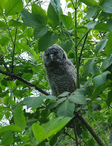
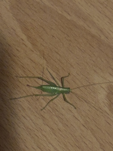
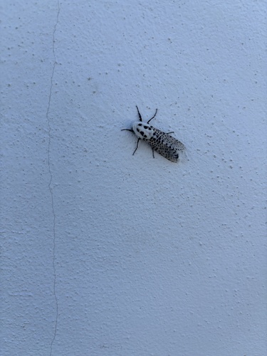
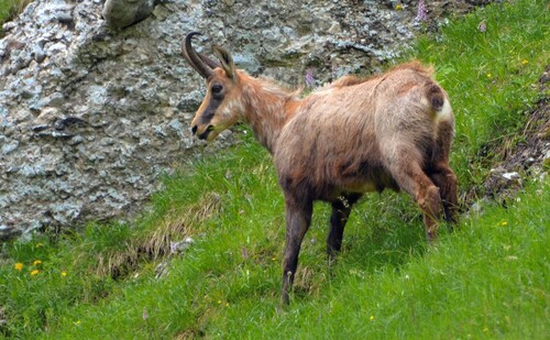
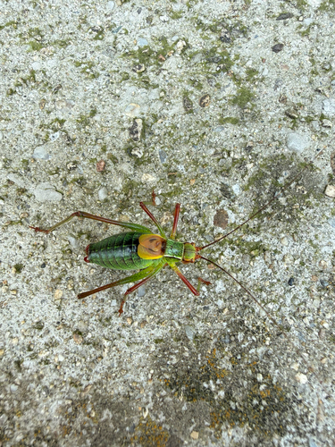
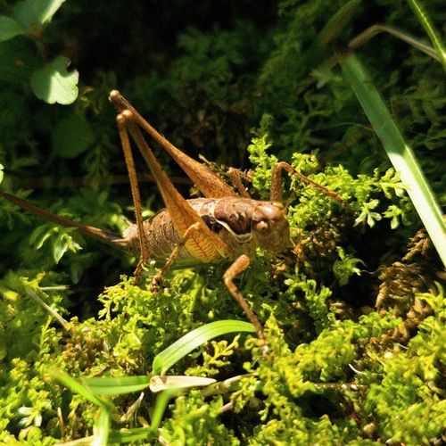
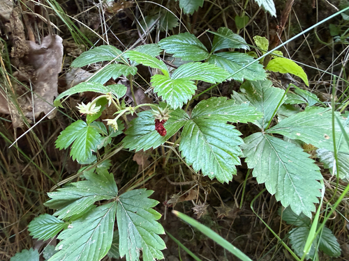
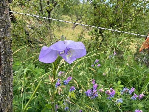
Research-grade observations from iNaturalist (within ~15 mi).
Events
Gallery
Sources
- • Wikipedia
- • Wikidata
- • USGS Earthquake Catalog (global feed)
- • GBIF (Global Biodiversity Information Facility)
- • iNaturalist
- • Open-Meteo / sunrise-sunset.org
- • Wikipedia Pageviews API