Browse / Romania / Timiș / Făget
Făget
Timiștown

Făget
Total population
4,085
Founded
1548
Demographic figures from INS Romania. Overview below cites Wikipedia and may reference a different year.
City facts
Sister cities
Facts from Wikidata (CC0).
Overview
Făget is a town in Timiș County, Romania, with a population of about 6,600. The town administers ten villages: Bătești, Begheiu Mic, Bichigi, Brănești, Bunea Mare, Bunea Mică (depopulated), Colonia Mică, Jupânești, Povârgina and Temerești.
Read more on WikipediaHistory & geography
History
Făget Fortress is documented for the first time in 1548, as the property of Jakab Békés and bearing the name Fagyath. Between 1594–1602 Făget was the property of the Ban of Lugoj. In 1602 it was besieged and destroyed by the Turks, after which it fell into ruin. For 150 years it has been the subject of fierce confrontations between Romanians, Turks and Austrians, which is also confirmed by archaeological excavations. The picturesque landscape of Făget, the intense spiritual activity and its famous fairs attracted the attention of some foreign travelers who passed through Transylvania and Banat. In 1660, Turkish traveler Evliya Çelebi, passing through Făget, described the medieval fortress: The civilian settlement evolved along with the military fortress, becoming in a relatively short period of time the most important locality in the area. The fortress was finally demolished by the Turks in 1699. Immediately after Banat was conquered by the Austrians in 1717, Făget had only 20 houses left, but it was the center of a district with 42 communes. After this period of decline, the town began to grow again and in 1787 received the right to hold eight fairs a year. At the end of the 18th century, Johann Lehmann wrote: On the same note, Italian traveler noted that, at the beginning of the 19th century, Făget had "200 Romanian houses with two churches and over 30 German houses with a small but clean church, served by the Minorite monks from Lugoj". Făget was also an important connection point between Banat and Transylvania, here being a "custom house for Transylvania and Hungary". In the 17th and 18th centuries, attempts were made to colonize workers of other nationalities to work on forest exploitations, but the impact is small and Făget remains a center of Romanianism at…
Geography
Făget is located in the southwest of Romania, in the contact area of the Lugoj Plain with the Lugoj Hills, on the upper course of the Bega River. Within Timiș County, it is located in its eastern part, from Timișoara and from Lugoj, to which it is connected by national road 68A. The same road to the east connects the town with Deva, away. The town is also crossed by CFR line 212 (Lugoj–Făget–Ilia).
Excerpted from the corresponding Wikipedia article (CC BY-SA).
Geography
Coordinates & boundaries from the US Census TIGER/Line shapefiles.
Climate
Air quality
Walkability
Amenities nearby
Wildlife & biodiversity
Earthquake history
Photos
Sights & places nearby
Notable people from here


People born within ~10 km, from Wikidata (CC0). Click any name for their Wikipedia article.
Nearby places in Timiș
- Colonia Mică1.5 mi away · pop. 450
- Bătești1.6 mi away · pop. 485
- Bichigi1.8 mi away · pop. 603
- Begheiu Mic2 mi away · pop. 394
- Temerești2.2 mi away · pop. 614
- Povârgina2.9 mi away · pop. 203
- Sintești3.6 mi away · pop. 534
- Dumbrava3.6 mi away · pop. 955
- Răchita3.7 mi away · pop. 1,229
- Margina4.3 mi away · pop. 1,031
- Brănești4.6 mi away · pop. 562
- Bucovăț4.8 mi away · pop. 615
Geography & sun
Elevation, sunrise/sunset and daylight from Open-Meteo. Solar climatology from NASA POWER.
Nearby airports
Public attention
Pageview totals from the Wikimedia Pageviews API.
Books about this place
Recent natural events nearby
Ground air-quality sensors
Recently spotted species
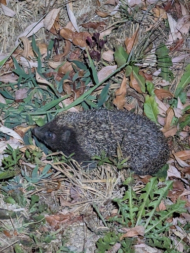
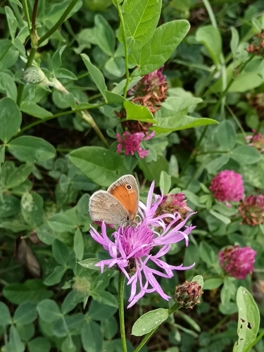
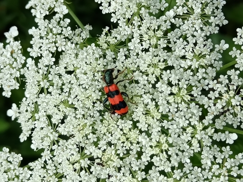
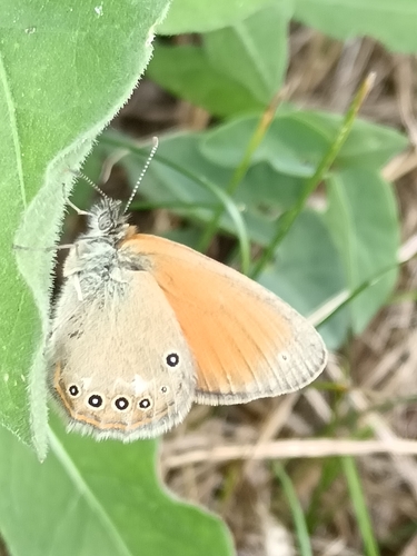
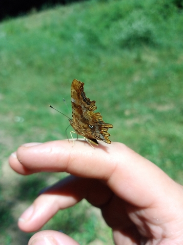
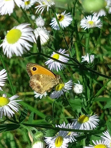
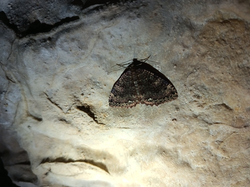
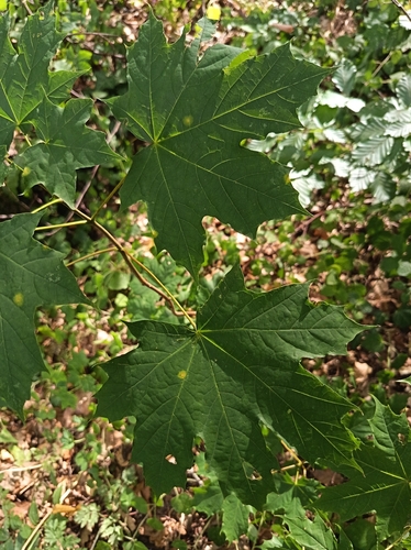
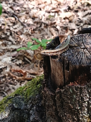
Research-grade observations from iNaturalist (within ~15 mi).
Events
Gallery
Sources
- • Wikipedia
- • Wikidata
- • iNaturalist
- • Open-Meteo / sunrise-sunset.org
- • Wikipedia Pageviews API