Browse / Romania / Timiș / Gătaia
Gătaia
Timiștown

Gătaia
Total population
4,044
Founded
1323
Demographic figures from INS Romania. Overview below cites Wikipedia and may reference a different year.
City facts
Facts from Wikidata (CC0).
Overview
Gătaia is a town in Timiș County, Romania. It administers five villages: Butin, Percosova, Sculia, Șemlacu Mare, and Șemlacu Mic. Declared a town in 2004, it also administered four other villages until that time, when they were split off to form Birda commune.
Read more on WikipediaHistory & geography
History
The earliest documented mention of Gătaia dates back to 1323, referencing a certain Domokos, whose father had been sent to the area to delineate the village boundaries. At that time, the settlement was known as Gothal or Gothalö. The chapter of Arad records that in 1343, Gătaia was owned by Ladislau Omeri and later passed to his sister Clara. At that time, it consisted of Gothal Inferior ("Lower Gothal") and Gothal Superior ("Upper Gothal"), two settlements that eventually merged. During the reign of King Sigismund (1389–1437), the settlement was first recorded under the name Gatay. According to some researchers, this name may originate from the Turkic-Tatar patronymic Gea-Gatay, from which the current name could be derived. In 2004 Gătaia received the status of a town, having in its administration the localities of Butin, Percosova, Sculia, Șemlacu Mare and Șemlacu Mic. At the same time, the villages of Berecuța, Birda, Mânăstire and Sângeorge, separated from the former commune and formed the commune of Birda.
Geography
Gătaia lies on both banks of the Bârzava River. Some of the villages (Șemlacu Mare, Șemlacu Mic, Butin, and Percosova) are located south of Gătaia around the Șumigu Hill, an extinct volcano in the Tisza Plain, along the Moravița, Crivaia, and Clopodia streams, tributaries to the left of Bârzava, and Sculia is also located on the Bârzava River but west of Gătaia, occupying the northernmost position in this administrative unit. Gătaia connects to Timișoara and Reșița both by rail and by national road .
Excerpted from the corresponding Wikipedia article (CC BY-SA).
Geography
Coordinates & boundaries from the US Census TIGER/Line shapefiles.
Climate
Air quality
Walkability
Amenities nearby
Wildlife & biodiversity
Earthquake history
Photos
Sights & places nearby
Notable people from here


People born within ~10 km, from Wikidata (CC0). Click any name for their Wikipedia article.
Nearby places in Timiș
- Sculia0.9 mi away · pop. 1,048
- Berecuța3.9 mi away · pop. 204
- Birda4.2 mi away · pop. 1,032
- Șemlacu Mare4.9 mi away · pop. 409
- Mânăstire5 mi away · pop. 249
- Șipet5.4 mi away · pop. 856
- Șemlacu Mic5.7 mi away · pop. 195
- Sângeorge5.8 mi away · pop. 576
- Butin6.7 mi away · pop. 463
- Tormac6.9 mi away · pop. 1,545
- Rovinița Mare7.5 mi away · pop. 402
- Folea7.8 mi away · pop. 485
Geography & sun
Elevation, sunrise/sunset and daylight from Open-Meteo. Solar climatology from NASA POWER.
Nearby airports
Public attention
Pageview totals from the Wikimedia Pageviews API.
Books about this place
Recent natural events nearby
Ground air-quality sensors
Recently spotted species
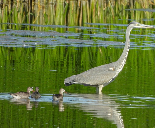
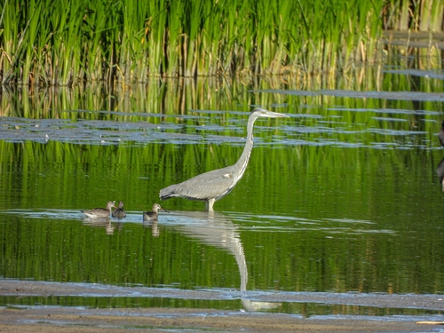
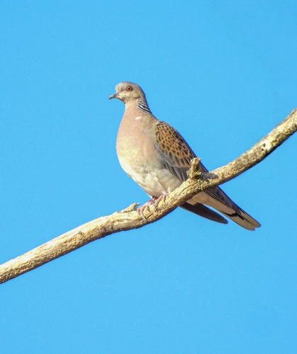
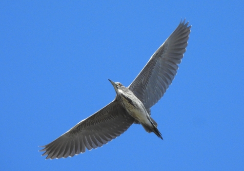
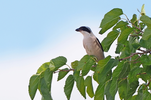
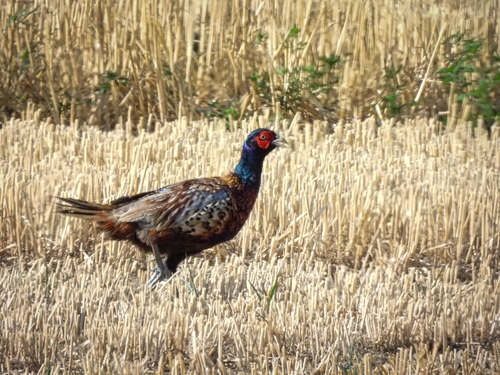
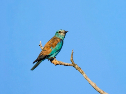
Research-grade observations from iNaturalist (within ~15 mi).
Events
Gallery
Sources
- • Wikipedia
- • Wikidata
- • iNaturalist
- • Open-Meteo / sunrise-sunset.org
- • Wikipedia Pageviews API