Browse / Romania / Harghita / Ghiduț
Ghiduț
Harghitavillage
Total population
163
Demographic figures from INS Romania. Overview below cites Wikipedia and may reference a different year.
City facts
Overview
Ghiduț is a small village in Harghita, Romania. Population sits at roughly 163 according to the open data we track. Ghiduț maps to 46.787°, 25.541° — squarely within the temperate belt. The latitude suggests four distinct seasons with warm summers and cold winters. The location receives about 1,302 kWh/m² of solar irradiance per year and sunshine for roughly 51% of daylight hours. Open-data panels below dive into population trends, climate normals, environmental indicators and nearby places.
Summary composed automatically from structured open data on this page. See our Terms for details.
History & geography
Geography
Coordinates & boundaries from the US Census TIGER/Line shapefiles.
Climate
Air quality
Walkability
Amenities nearby
Wildlife & biodiversity
Most-observed species
- Common ChaffinchFringilla coelebs Linnaeus, 1758 · Aves40
- Japanese KnotweedReynoutria japonica Houtt. · Magnoliopsida40
- European RobinErithacus rubecula (Linnaeus, 1758) · Aves39
- MallardAnas platyrhynchos Linnaeus, 1758 · Aves37
- Common ChiffchaffPhylloscopus collybita (Vieillot, 1817) · Aves32
- Eurasian JayGarrulus glandarius (Linnaeus, 1758) · Aves32
- Coal TitPeriparus ater (Linnaeus, 1758) · Aves31
- Gray WagtailMotacilla cinerea Tunstall, 1771 · Aves31
Citizen-science & research observations from the Global Biodiversity Information Facility (GBIF).
Earthquake history
Most recent
- M 4.4 — 2011-06-243 km SE of Ostra, Romania
Events from the USGS Earthquake Catalog (global) (FDSN Event Web Service).
Photos
Sights & places nearby
Notable people from here


People born within ~10 km, from Wikidata (CC0). Click any name for their Wikipedia article.
Geography & sun
Elevation, sunrise/sunset and daylight from Open-Meteo. Solar climatology from NASA POWER.
Nearby airports
Public attention
Books about this place
Recent natural events nearby
Ground air-quality sensors
Recently spotted species
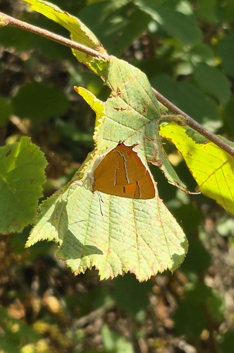
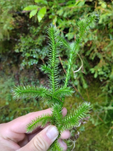
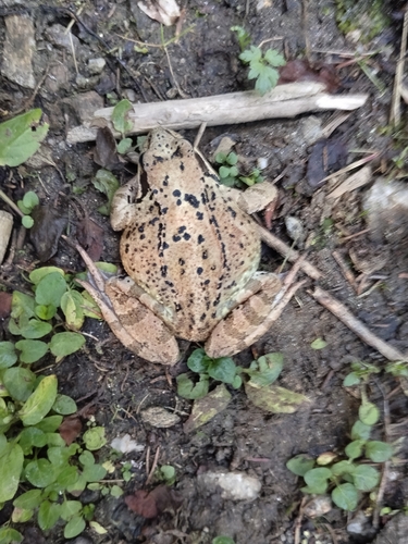
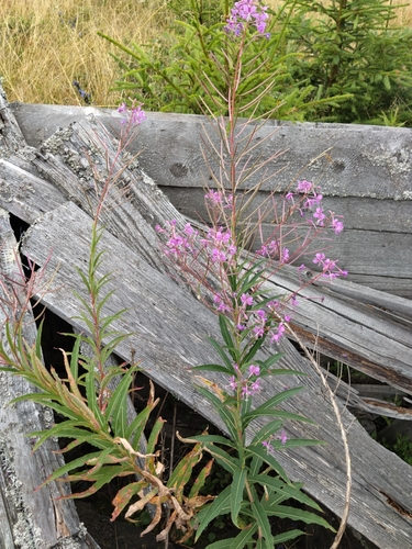
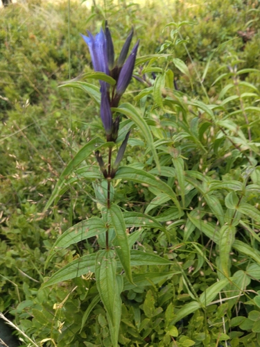
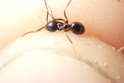
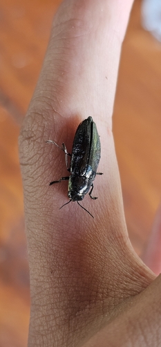
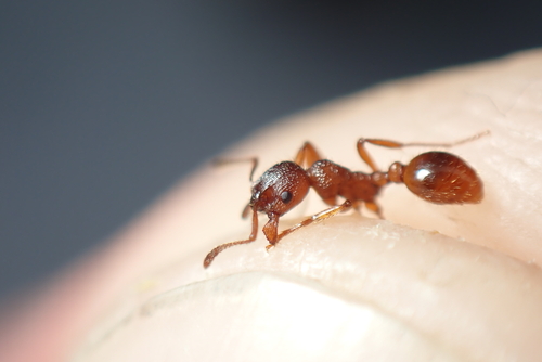
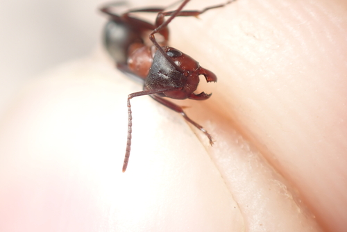
Research-grade observations from iNaturalist (within ~15 mi).
Events
Gallery
Official Identifiers
INS — National Institute of Statistics (Romania)
- SIRUTA
- 84610
- Population (Wikidata)
- 158
- Wikidata
- Q751379
SIRUTA via Wikidata P843
Sources
- • Wikidata
- • USGS Earthquake Catalog (global feed)
- • GBIF (Global Biodiversity Information Facility)
- • iNaturalist
- • Open-Meteo / sunrise-sunset.org
- • INS — National Institute of Statistics (Romania) — SIRUTA via Wikidata P843