Browse / Romania / Timiș / Hitiaș
Hitiaș
Timișvillage
Total population
902
Demographic figures from INS Romania. Overview below cites Wikipedia and may reference a different year.
City facts
Overview
Situated in Timiș, Romania, Hitiaș is a small village. Public datasets list a population of roughly 902. Geographically it lies in the northern hemisphere at a temperate latitude (45.711°, 21.599°). Meteorological summaries report average highs near 64.2°F and lows near 46°F, together with about 25.3 in of annual precipitation (a moderate total). Open solar datasets indicate about 1,347 kWh/m² of solar irradiance per year, combined with sunshine for roughly 53% of daylight hours. Climatically, locations at this latitude tend to experience four distinct seasons with warm summers and cold winters. Further detail — demographics, climate, nearby amenities and natural-hazard data — is compiled below from public open-data sources.
Summary composed automatically from structured open data on this page. See our Terms for details.
History & geography
Geography
Coordinates & boundaries from the US Census TIGER/Line shapefiles.
Climate
10-year averages from ERA5 reanalysis (Open-Meteo).
Air quality
Walkability
Amenities nearby
Wildlife & biodiversity
Most-observed species
- False-acaciaRobinia pseudoacacia L. · Magnoliopsida52
- RagweedAmbrosia artemisiifolia L. · Magnoliopsida38
- Eurasian MagpiePica pica (Linnaeus, 1758) · Aves37
- Johnson-grassSorghum halepense (L.) Pers. · Liliopsida35
- Common BuzzardButeo buteo (Linnaeus, 1758) · Aves33
- Eurasian Collared-DoveStreptopelia decaocto (Frivaldszky, 1838) · Aves21
- Canadian FleabaneErigeron canadensis L. · Magnoliopsida21
- Eurasian Marsh-HarrierCircus aeruginosus (Linnaeus, 1758) · Aves19
Citizen-science & research observations from the Global Biodiversity Information Facility (GBIF).
Earthquake history
Most recent
- M 4.3 — 2024-08-105 km NNE of Ohaba Lungă, Romania
- M 4.7 — 2023-06-066 km SW of Frumu?eni, Romania
- M 4.1 — 2023-05-222 km S of Fântânele, Romania
- M 4.1 — 2018-12-232 km NW of Hajdu?ica, Serbia
- M 2.9 — 2016-03-182 km SSE of Carani, Romania
- M 4.1 — 2014-10-311 km NNE of Teregova, Romania
Events from the USGS Earthquake Catalog (global) (FDSN Event Web Service).
Photos
Sights & places nearby
Notable people from here


People born within ~10 km, from Wikidata (CC0). Click any name for their Wikipedia article.
Nearby places in Timiș
- Sârbova1.9 mi away · pop. 305
- Racovița2 mi away · pop. 937
- Drăgoiești3.5 mi away · pop. 464
- Căpăt3.6 mi away · pop. 324
- Bacova3.8 mi away · pop. 1,424
- Topolovățu Mic4 mi away · pop. 148
- Buzias4.3 mi away · pop. 5,682
- Topolovățu Mare4.5 mi away · pop. 1,190
- Ficătar4.8 mi away · pop. 467
- Șuștra5.3 mi away · pop. 451
- Bazoș5.3 mi away · pop. 912
- Ictar-Budinț5.5 mi away · pop. 580
Geography & sun
Elevation, sunrise/sunset and daylight from Open-Meteo. Solar climatology from NASA POWER.
Nearby airports
Public attention
Books about this place
Recent natural events nearby
Ground air-quality sensors
Recently spotted species
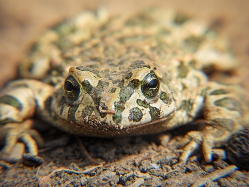
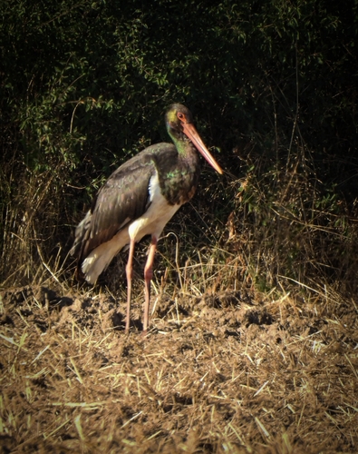
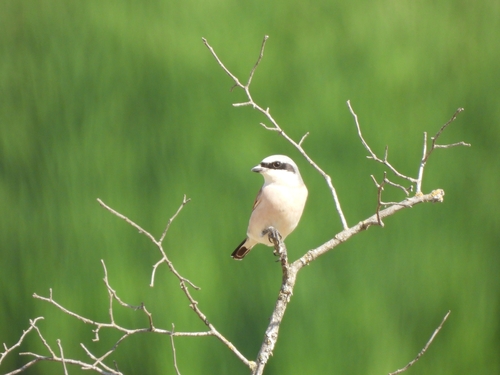
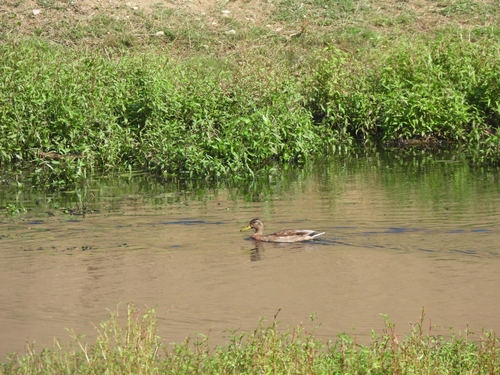
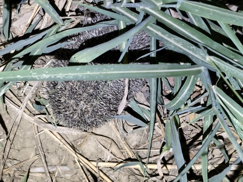
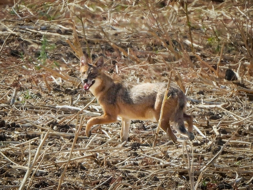
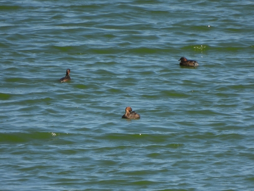
Research-grade observations from iNaturalist (within ~15 mi).
Events
Gallery
Official Identifiers
INS — National Institute of Statistics (Romania)
- SIRUTA
- 158298
- Population (Wikidata)
- 842
- Wikidata
- Q821957
SIRUTA via Wikidata P843
Sources
- • Open-Meteo (ERA5 reanalysis)
- • Wikidata
- • USGS Earthquake Catalog (global feed)
- • GBIF (Global Biodiversity Information Facility)
- • iNaturalist
- • Open-Elevation
- • Open-Meteo / sunrise-sunset.org
- • INS — National Institute of Statistics (Romania) — SIRUTA via Wikidata P843