Browse / Romania / Hunedoara / Hunedoara
Hunedoara
Hunedoaracity

Hunedoara
Total population
78,675
Founded
1265
Demographic figures from INS Romania. Overview below cites Wikipedia and may reference a different year.
City facts
Sister cities
Facts from Wikidata (CC0).
Overview
Hunedoara is a city in Hunedoara County, Transylvania, Romania. It is located in southwestern Transylvania near the Poiana Ruscă Mountains, and administers five villages: Boș (Bós), Groș (Grós), Hășdat, Peștișu Mare (Alpestes), and Răcăștia (Rákosd).
Read more on WikipediaHistory & geography
History
Stone Age tools were discovered in the Sânpetru (Saint Peter) hill near the castle and in the surrounding villages. The region was very rich in iron, which had been extracted in the area since the Iron Age by Thracian tribes. The Dacian fortresses of Orăștie mountains, most notably Sarmiszegetusa, which became the most important religious and political center of Dacia, was located close to Hunedoara and was supplied by the iron produced here. The remains of eight Dacian iron furnaces have been found at the Sânpetru Hill near the castle. The discovery of important monetary treasures of Dacian coins and Roman imperial coins testifies to the importance of the site. After Dacia was conquered around AD 106 and turned into a Roman province, the iron-rich region attracted the attention of the Romans, who began to exploit it by building furnaces. A "Villa Rustica" emerged in Teliuc, a Roman fortification on Sanpetru hill, outpost of the famous legio XIII Gemina whose main castrum was at Apullum in Dacia. Other Roman artifacts were discovered in the city area, and also in Pestis, where the remains of a Roman village were discovered. The new capital city of the Roman province of Dacia, Ulpia Traiana Sarmizegetusa, was also situated in the proximity. Whether a Romanized population remained in this region after the retreat of the Roman legions, which took place around 271-274 AD, is debated in the theories on the origin of the Romanians. After the Roman military and administrative retreat during the Migration Period, the region had no significant historic sites, although it may be possible that the iron activity continued. The ethnic structure of the region changed significantly, most notably with Goths, Huns, Slavs, Pechenegs, Magyars (Hungarians), and Cumans. Starting from…
Excerpted from the corresponding Wikipedia article (CC BY-SA).
Geography
Coordinates & boundaries from the US Census TIGER/Line shapefiles.
Climate
Air quality
Walkability
Amenities nearby
Wildlife & biodiversity
Earthquake history
Photos
Sights & places nearby
Notable people from here


People born within ~10 km, from Wikidata (CC0). Click any name for their Wikipedia article.
Nearby places in Hunedoara
- Hășdat1.7 mi away · pop. 374
- Mănerău2.4 mi away · pop. 283
- Pestișu Mic3 mi away · pop. 176
- Teliucu Inferior3.1 mi away · pop. 1,605
- Peștișu Mare3.3 mi away · pop. 1,293
- Nădăștia de Sus3.4 mi away · pop. 361
- Boș3.4 mi away · pop. 471
- Sâncrai3.5 mi away · pop. 228
- Nădăștia de Jos3.6 mi away · pop. 312
- Teliucu Superior3.8 mi away · pop. 324
- Josani3.9 mi away · pop. 198
- Cinciș-Cerna4 mi away · pop. 783
Geography & sun
Elevation, sunrise/sunset and daylight from Open-Meteo. Solar climatology from NASA POWER.
Nearby airports
Public attention
Pageview totals from the Wikimedia Pageviews API.
Books about Hunedoara
Search results from Open Library.
Recent natural events nearby
Ground air-quality sensors
Recently spotted species
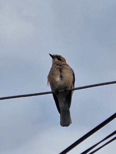
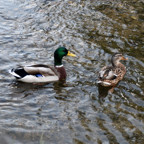
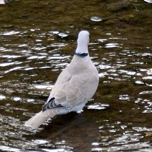
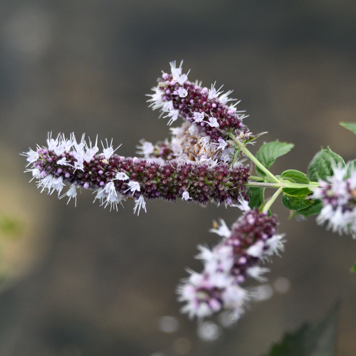
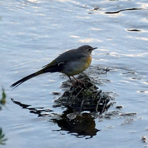
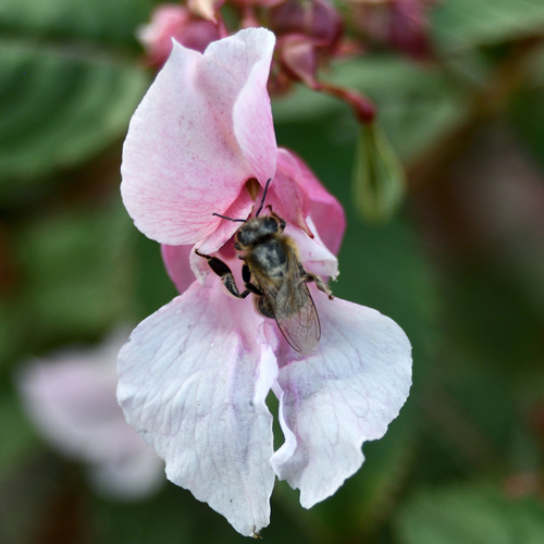
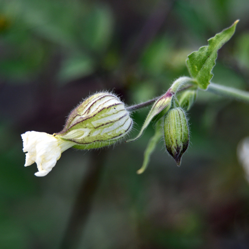
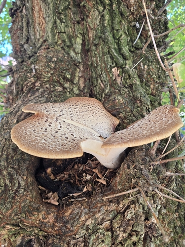
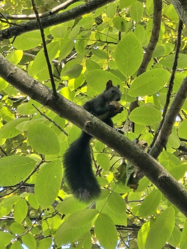
Research-grade observations from iNaturalist (within ~15 mi).
Events
Gallery
Sources
- • Wikipedia
- • Wikidata
- • iNaturalist
- • Open-Meteo / sunrise-sunset.org
- • Wikipedia Pageviews API
- • Open Library