Browse / Romania / Bihor / Lacu Sărat
Lacu Sărat
Bihorvillage
Total population
80
Demographic figures from INS Romania. Overview below cites Wikipedia and may reference a different year.
City facts
Overview
Set in Bihor, Romania, Lacu Sărat is recorded in open geodata as a tiny village. Recent open-data figures place its population at about 80. Geographically it lies in the northern hemisphere at a temperate latitude (46.803°, 22.355°). The location receives about 1,281 kWh/m² of solar irradiance per year and sunshine for roughly 50% of daylight hours. Its latitude implies a climate characterised by four distinct seasons with warm summers and cold winters. Open-data panels below dive into population trends, climate normals, environmental indicators and nearby places.
Summary composed automatically from structured open data on this page. See our Terms for details.
History & geography
Geography
Coordinates & boundaries from the US Census TIGER/Line shapefiles.
Climate
Air quality
Walkability
Amenities nearby
Wildlife & biodiversity
Most-observed species
- Japanese KnotweedReynoutria japonica Houtt. · Magnoliopsida20
- Fire salamanderSalamandra salamandra (Linnaeus, 1758) · Amphibia13
- Nine-SpottedAmata phegea Linnaeus, 1758 · Insecta11
- Eurasian NuthatchSitta europaea Linnaeus, 1758 · Aves11
- Marsh TitPoecile palustris (Linnaeus, 1758) · Aves10
- Gray WagtailMotacilla cinerea Tunstall, 1771 · Aves10
- PrimrosePrimula vulgaris Huds. · Magnoliopsida10
- Great TitParus major Linnaeus, 1758 · Aves10
Citizen-science & research observations from the Global Biodiversity Information Facility (GBIF).
Earthquake history
Most recent
- M 4.3 — 2024-08-105 km NNE of Ohaba Lungă, Romania
- M 2.6 — 2006-12-0810 km NNW of Horea, Romania
- M 3 — 2006-07-145 km NNE of Dobre?ti, Romania
- M 2.8 — 2006-02-024 km NW of Vészt?, Hungary
- M 3.1 — 2005-05-174 km SSE of M?rg?u, Romania
Events from the USGS Earthquake Catalog (global) (FDSN Event Web Service).
Photos
Sights & places nearby
Notable people from here


People born within ~10 km, from Wikidata (CC0). Click any name for their Wikipedia article.
Geography & sun
Elevation, sunrise/sunset and daylight from Open-Meteo. Solar climatology from NASA POWER.
Nearby airports
Public attention
Books about this place
Recent natural events nearby
Ground air-quality sensors
Recently spotted species
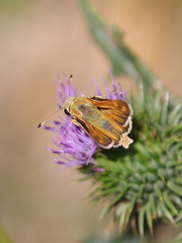
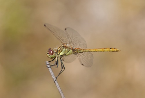
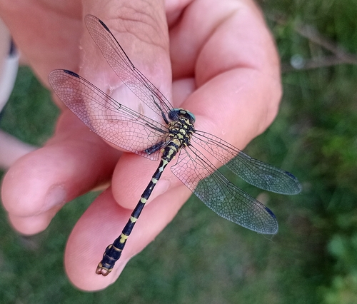
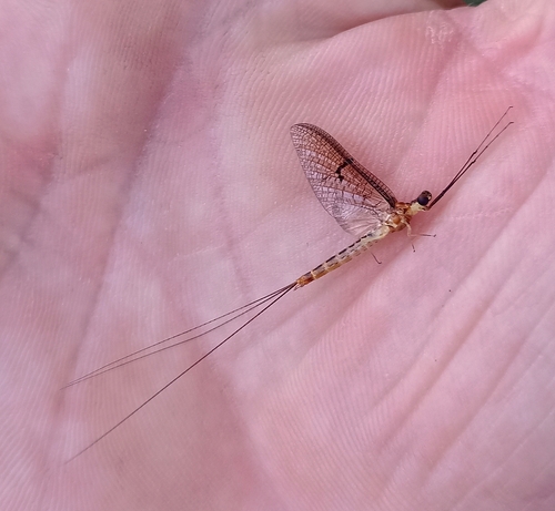
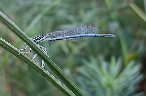
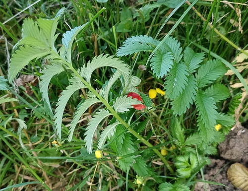
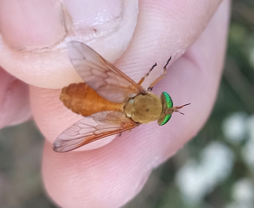
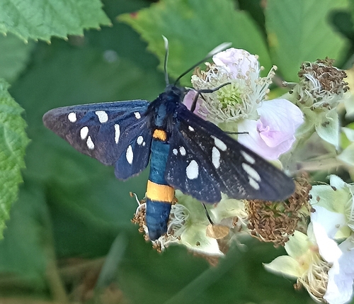
Research-grade observations from iNaturalist (within ~15 mi).
Events
Gallery
Sources
- • Wikidata
- • USGS Earthquake Catalog (global feed)
- • GBIF (Global Biodiversity Information Facility)
- • iNaturalist
- • Open-Meteo / sunrise-sunset.org