Browse / Romania / Constanța / Murfatlar
Murfatlar
Constanțatown

Murfatlar
Total population
9,728
Founded
1855
Air quality index
Demographic figures from INS Romania. Overview below cites Wikipedia and may reference a different year.
City facts
Sister cities
Facts from Wikidata (CC0).
Overview
Murfatlar is a town in Constanța County, Northern Dobruja, Romania. It officially became a town in 1989, as a result of the Romanian rural systematization program.
Read more on WikipediaHistory & geography
Geography
Coordinates & boundaries from the US Census TIGER/Line shapefiles.
Climate
Air quality
Current readings from Open-Meteo Air Quality API (Copernicus CAMS European reanalysis).
Walkability
Amenities nearby
Wildlife & biodiversity
Most-observed species
- Yellow-legged GullLarus michahellis J.F.Naumann, 1840 · Aves363
- Hooded CrowCorvus cornix Linnaeus, 1758 · Aves266
- Black-headed GullChroicocephalus ridibundus (Linnaeus, 1766) · Aves214
- Eared GrebePodiceps nigricollis C.L.Brehm, 1831 · Aves210
- Great Cormorant/European ShagPhalacrocorax carbo (Linnaeus, 1758) · Aves204
- Eurasian MagpiePica pica (Linnaeus, 1758) · Aves203
- Rock PigeonColumba livia J.F.Gmelin, 1789 · Aves195
- Common ShelduckTadorna tadorna (Linnaeus, 1758) · Aves183
Citizen-science & research observations from the Global Biodiversity Information Facility (GBIF).
Earthquake history
Most recent
- M 3.8 — 2015-07-1513 km ESE of Balgarevo, Bulgaria
- M 4.5 — 2012-12-0314 km SE of Shabla, Bulgaria
- M 5 — 2009-08-0516 km SE of Shabla, Bulgaria
- M 3.8 — 2006-08-2425 km SE of Shabla, Bulgaria
- M 3.6 — 2006-02-064 km S of Gârliciu, Romania
Events from the USGS Earthquake Catalog (global) (FDSN Event Web Service).
Photos
Sights & places nearby
Notable people from here


People born within ~10 km, from Wikidata (CC0). Click any name for their Wikipedia article.
Nearby places in Constanța
- Cadaqués1267.1 mi away · pop. 2,735
- el Port de la Selva1269.7 mi away · pop. 780
- Colera1271.3 mi away · pop. 479
- Vilajuïga1275.4 mi away · pop. 788
- Vilamaniscle1275.9 mi away · pop. 184
- Garriguella1276.5 mi away · pop. 957
- l'Escala1276.9 mi away · pop. 10,056
- Marzà1277 mi away · pop. 189
- Castelló d'Empúries1277.5 mi away · pop. 4,218
- Rabós1277.7 mi away · pop. 143
- Pals1279.1 mi away · pop. 1,059
- Vilamacolum1279.5 mi away · pop. 391
Geography & sun
Elevation, sunrise/sunset and daylight from Open-Meteo. Solar climatology from NASA POWER.
Nearby airports
Public attention
Pageview totals from the Wikimedia Pageviews API.
Books about this place
Recent natural events nearby
Ground air-quality sensors
Recently spotted species
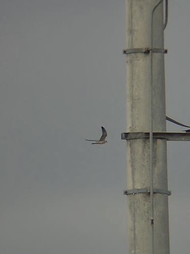
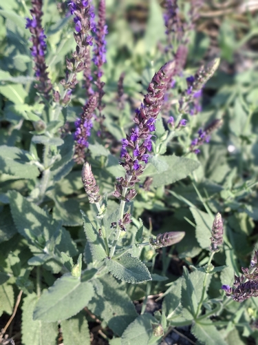
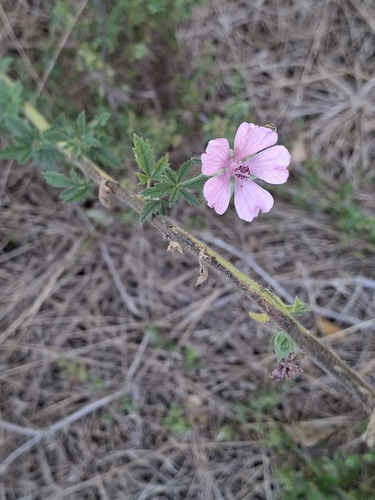
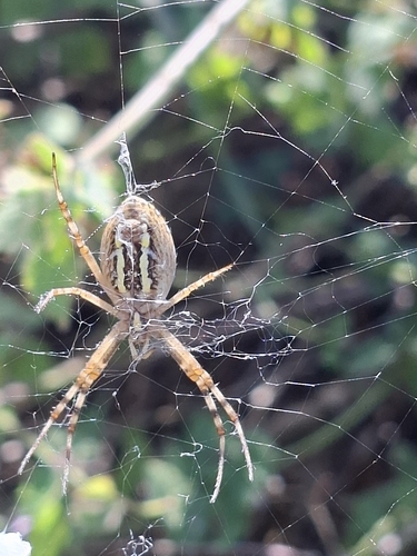
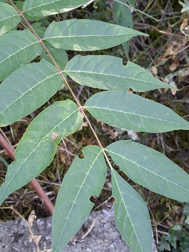
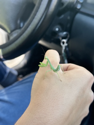
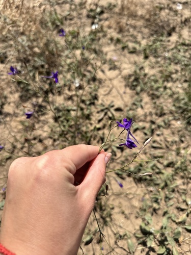
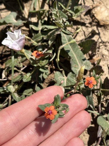
Research-grade observations from iNaturalist (within ~15 mi).
Events
Gallery
Sources
- • Wikipedia
- • Wikidata
- • Open-Meteo Air Quality (CAMS)
- • USGS Earthquake Catalog (global feed)
- • GBIF (Global Biodiversity Information Facility)
- • iNaturalist
- • Open-Meteo / sunrise-sunset.org
- • Wikipedia Pageviews API