Browse / Romania / Harghita / Odorheiu Secuiesc
Odorheiu Secuiesc
Harghitacity

Odorheiu Secuiesc
Total population
31,335
Founded
1224
Demographic figures from INS Romania. Overview below cites Wikipedia and may reference a different year.
City facts
Sister cities
Facts from Wikidata (CC0).
Overview
Odorheiu Secuiesc is the second largest municipality in Harghita County, Transylvania, Romania. In its short form, it is also known as Odorhei in Romanian and Udvarhely in Hungarian. The Hungarian name of the town "Udvarhely" means "courtyard place".
Read more on WikipediaHistory & geography
History
A Roman fortress was found under the ruins of a medieval fort in the centre of the town. A funeral inscription was also found placed by the veteran, Aelius Equester, former centurion, to his wife Aurelia Juiuni and himself. The inscription dates back to the 7th century AD. Stamps with the letters of the Alpinorum equitata cohort and the Ubiorum cohort were also found in Odorhei. The town, as the former seat of the Udvarhely comitatus, is one of the historical centers of Székely Land. The first known reference to the city was in a papal register of duties in 1334 when it was mentioned by its Hungarian name, a sacerdos de Oduorhel. Since 1615, when Gabriel Bethlen, Prince of Transylvania, reaffirmed the rights of the town, the place has been referred to as Székelyudvarhely. Udvarhely was the location of the first assembly of Székelys in 1357. A fortress was built in the town in 1451. It was rebuilt and strengthened by John II Sigismund Zápolya in 1565, in order to control the Székelys. Wallachian Prince Michael the Brave allied with the Szekelys and the Habsburgs destroyed the fortress in 1599 during their campaign in Transylvania. It was repeatedly rebuilt and destroyed again during history. The ruins of the structure are nowadays known as "The Székely-Attacked Fortress". The town was historically part of the Szeklerland region of Transylvania. It was the seat of Udvarhelyszék District until the administrative reform of Transylvania in 1876, when it fell within the Udvarhely County in the Kingdom of Hungary. In the aftermath of World War I, the Union of Transylvania with Romania was declared in December 1918. At the start of the Hungarian–Romanian War of 1918–1919, the town passed under Romanian administration. After the Treaty of Trianon of 1920, it became part of…
Excerpted from the corresponding Wikipedia article (CC BY-SA).
Geography
Coordinates & boundaries from the US Census TIGER/Line shapefiles.
Climate
Air quality
Walkability
Amenities nearby
Wildlife & biodiversity
Earthquake history
Photos
Sights & places nearby
Notable people from here
Geography & sun
Elevation, sunrise/sunset and daylight from Open-Meteo. Solar climatology from NASA POWER.
Nearby airports
Public attention
Pageview totals from the Wikimedia Pageviews API.
Books about this place
Recent natural events nearby
Ground air-quality sensors
Recently spotted species


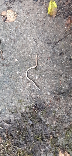
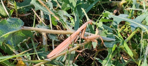

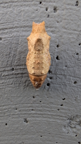
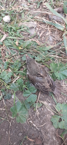
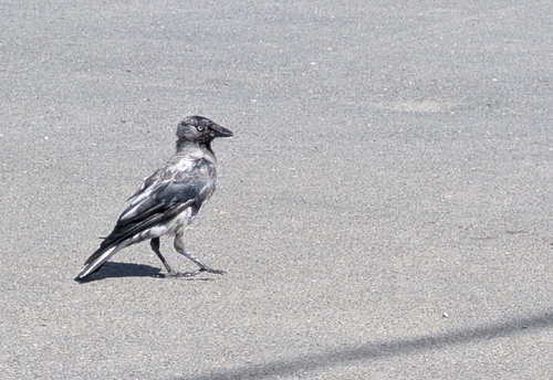
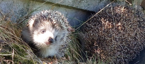
Research-grade observations from iNaturalist (within ~15 mi).
Events
Gallery
Sources
- • Wikipedia
- • Wikidata
- • iNaturalist
- • Open-Meteo / sunrise-sunset.org
- • Wikipedia Pageviews API