Browse / Romania / Caraș-Severin / Reșița
Reșița
Caraș-Severincity

Reșița
Total population
73,282
Founded
1673
Demographic figures from INS Romania. Overview below cites Wikipedia and may reference a different year.
City facts
Sister cities
Facts from Wikidata (CC0).
Overview
Reșița is a city in western Romania and the capital of Caraș-Severin County. It is located in the Banat region. The city had a population of 58,393 in 2021. It administers six villages: Câlnic (Kölnök), Cuptoare (Kuptore), Doman (Domány), Moniom (Monyó), Secu, and Țerova (Krassócser).
Read more on WikipediaHistory & geography
History
Historically, the town has its origins in the 15th century under the name of Rechyoka and Rechycha. Archaeological research found traces of habitation going back to the Neolithic, Dacian, and Roman eras. In the Middle Ages, the area was part of the Kingdom of Hungary. Following the death of the Jagiellon King of Hungary Louis II at the Battle of Mohács in 1526, the Hungarian crown would be inherited by the Habsburg monarchy, but this was contested by much of the Hungarian nobility, resulting in the formation of the Eastern Hungarian Kingdom, encompassing much of Transylvania and the Banat. In 1553, the area was incorporated into Temeşvar Eyalet of the Ottoman Empire. The town is mentioned in 1673 under the name of Reszinitza, whose citizens paid taxes to the Ottoman bey (governor) in Timișoara (Turkish: Temeşvar; Hungarian: Temesvár). Following the Battle of Vienna in 1683, Ottoman influence north of the Danube would contract. and the Habsburg and by the years 1690–1700, it was mentioned as being part of the District of Bocșa together with other towns in the Bârzava Valley. In the Habsburg-Ottoman War of 1716–1718, Prince Eugene of Savoy would conquer the region for the Habsburgs. The Habsburgs established the Banat of Temeswar and began fortifying the region as a Military Frontier. The town was referenced in the conscription acts of 1717 under the name of Retziza. Under Empress Maria Theresa, in 1751 Reșița and much of the northern Banat was detached from the Banat Military Frontier and transferred from military to civil administration. On 3 July 1771, it became an important metal-manufacturing center in the region. The foundation of the industrial Reșița was laid with the establishment of factories near the villages of Reșița Română (Reschiza Kamerală or Oláh…
Excerpted from the corresponding Wikipedia article (CC BY-SA).
Geography
Coordinates & boundaries from the US Census TIGER/Line shapefiles.
Climate
Air quality
Walkability
Amenities nearby
Wildlife & biodiversity
Earthquake history
Photos
Sights & places nearby
Notable people from here


People born within ~10 km, from Wikidata (CC0). Click any name for their Wikipedia article.
Nearby places in Caraș-Severin
- Doman2.1 mi away · pop. 813
- Țerova2.2 mi away · pop. 573
- Câlnic3.7 mi away · pop. 1,687
- Lupac3.8 mi away · pop. 1,084
- Clocotici4.1 mi away · pop. 1,013
- Cuptoare4.2 mi away · pop. 324
- Nermed4.3 mi away · pop. 644
- Secu4.6 mi away · pop. 514
- Moniom4.9 mi away · pop. 388
- Iabalcea5.1 mi away · pop. 277
- Vodnic5.3 mi away · pop. 482
- Rafnic6.2 mi away · pop. 642
Geography & sun
Elevation, sunrise/sunset and daylight from Open-Meteo. Solar climatology from NASA POWER.
Nearby airports
Public attention
Pageview totals from the Wikimedia Pageviews API.
Books about Reșița
Search results from Open Library.
Recent natural events nearby
Ground air-quality sensors
Recently spotted species
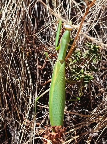
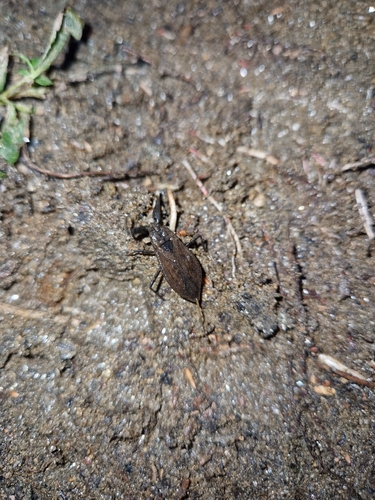
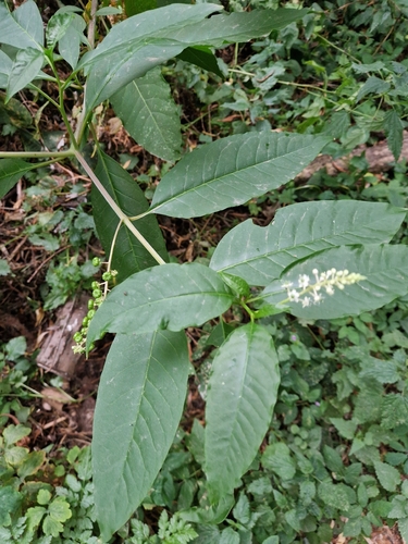
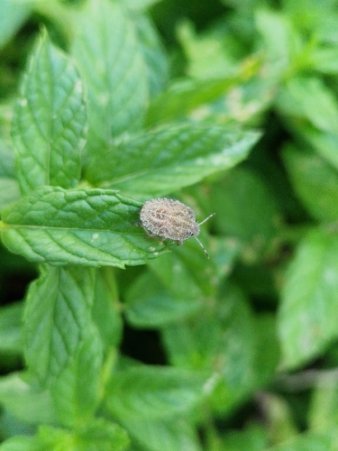
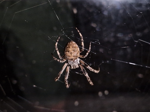
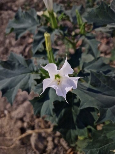
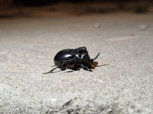
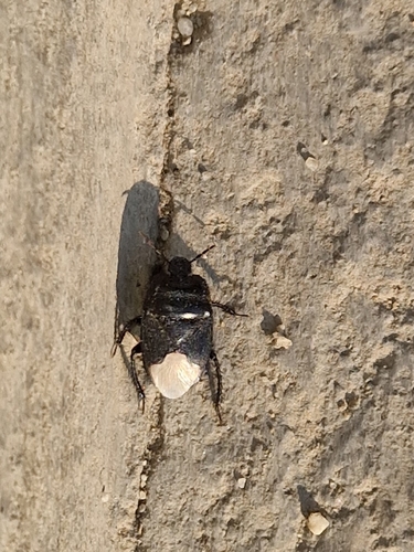
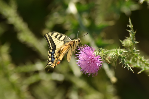
Research-grade observations from iNaturalist (within ~15 mi).
Events
Gallery
Sources
- • Wikipedia
- • Wikidata
- • iNaturalist
- • Open-Meteo / sunrise-sunset.org
- • Wikipedia Pageviews API
- • Open Library