Browse / Romania / Sibiu / Richiș
Richiș
Sibiuvillage

Featured view
Richiș
Total population
699
Elevation430 m
Coordinates46.10°, 24.48°
Demographic figures from INS Romania. Overview below cites Wikipedia and may reference a different year.
Loading additional data from public sources…0 / 11
CensusWikipediaWeatherPlacesPeopleEnvironmentHealth & SchoolsRelatedGeography & CultureLive MonitoringEvents & Gallery
0% completeCity facts
Overview
Biertan is a commune in Sibiu County, Transylvania, Romania. The commune is composed of three villages: Biertan, Copșa Mare, and Richiș, each of which has a fortified church.
Read more on WikipediaHistory & geography
Geography
Latitude
46.0979
Longitude
24.4818
Water area
—
Coordinates & boundaries from the US Census TIGER/Line shapefiles.
Climate
Air quality
Walkability
Amenities nearby
Wildlife & biodiversity
Earthquake history
Photos
Sights & places nearby
Notable people from here

Michael Bielz
Transylvanian naturalist (1787-1866)
A
Andreas Heldmann
(1688-1770)
J
Johann Michael Salzer
Lutheran pastor in Alaska
M
Martin Bertlef

Georg Meyndt
Transylvanian-Saxon author
H
Hans-Hartwig Trojer
German World War II U-boat commander
J
Joseph Barth
German Protestant priest and botanist (1833-1915)
H
Hans Molitoris
Austrian physician (1874-1972)
H
Horst Schuller Anger
German philologist and journalist (sas) from Romania
H
Hermann Phleps
F
Friedrich Franz Salzer
M
Mircea Tutovan-Codoi
Romanian volleyball player
E
Ernst Thullner
K
Karl Werner

Octavian Floca
Romanian archaeologist (1904-1983)
A
Adolf Heltmann
parson (1848-1923)
People born within ~10 km, from Wikidata (CC0). Click any name for their Wikipedia article.
Nearby places in Sibiu
- Nemșa2 mi away · pop. 515
- Biertan3.3 mi away · pop. 1,563
- Dupuș3.8 mi away · pop. 250
- Pelișor3.9 mi away · pop. 479
- Moșna4.1 mi away · pop. 1,893
- Copșa Mare4.1 mi away · pop. 482
- Alma Vii4.2 mi away · pop. 336
- Ațel4.2 mi away · pop. 1,277
- Zlagna4.6 mi away · pop. 173
- Buzd4.7 mi away · pop. 723
- Brateiu5.7 mi away · pop. 1,956
- Apoș5.8 mi away · pop. 246
Geography & sun
Elevation
1,411 ft (430 m)
Avg solar (kWh/m²/day)
3.57
Annual solar (kWh/m²)
1,302
Elevation, sunrise/sunset and daylight from Open-Meteo. Solar climatology from NASA POWER.
Nearby airports
Public attention
Wikipedia views (last 30 days)
5
Avg daily Wikipedia views
0
Attention level
Obscure
Pageview totals from the Wikimedia Pageviews API.
Books about this place
Recent natural events nearby
Ground air-quality sensors
Recently spotted species
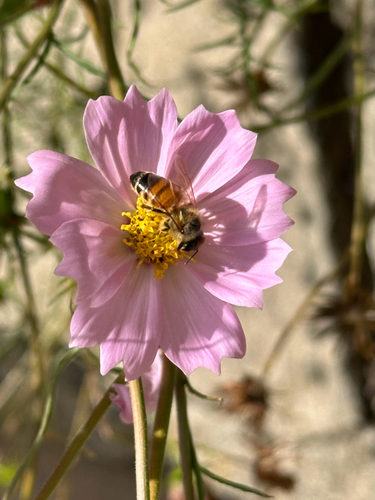
Western Honey Bee
Apis mellifera
Seen 2026-09-06
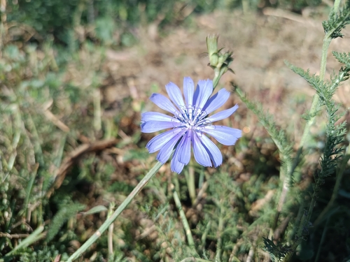
chicory
Cichorium intybus
Seen 2026-08-15
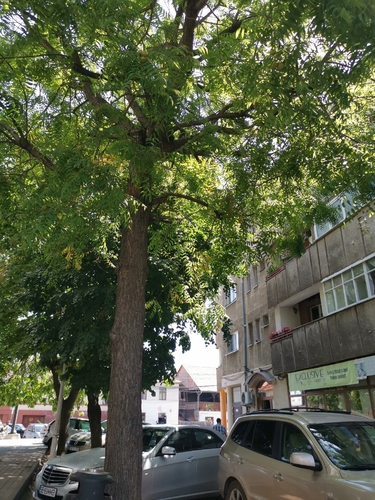
Neem
Azadirachta indica
Seen 2026-08-11
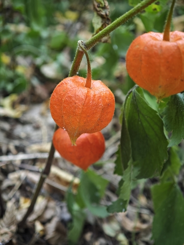
Japanese-lantern
Alkekengi officinarum
Seen 2026-08-07
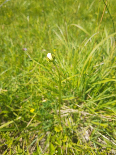
marsh grass-of-Parnassus
Parnassia palustris
Seen 2026-07-29
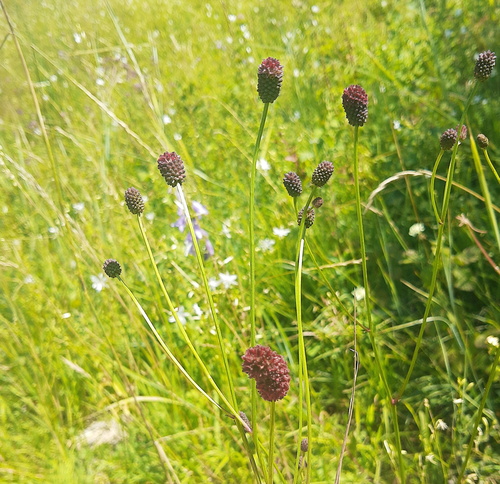
Great burnet
Sanguisorba officinalis
Seen 2026-07-29
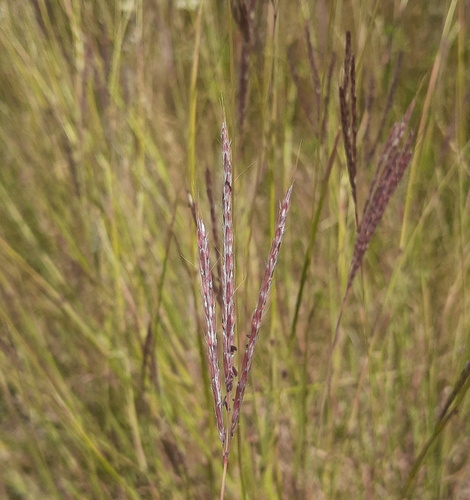
King Ranch bluestem
Bothriochloa ischaemum
Seen 2026-07-29
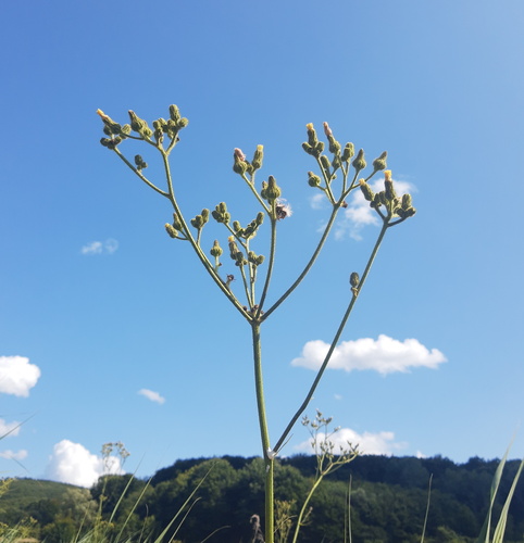
Marsh Sow-thistle
Sonchus palustris
Seen 2026-07-28
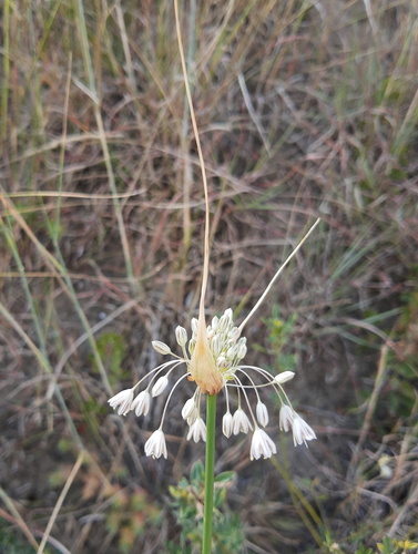
Allium marginatum
Allium marginatum
Seen 2026-07-27
Research-grade observations from iNaturalist (within ~15 mi).
Events
Gallery
Official Identifiers
INS — National Institute of Statistics (Romania)
- SIRUTA
- 144223
- Population (Wikidata)
- 707
- Wikidata
- Q843769
SIRUTA via Wikidata P843
Sources
- • Wikipedia
- • Wikidata
- • iNaturalist
- • Open-Elevation
- • Open-Meteo / sunrise-sunset.org
- • Wikipedia Pageviews API
- • INS — National Institute of Statistics (Romania) — SIRUTA via Wikidata P843