Browse / Romania / Brașov / Rupea
Rupea
Brașovtown

Rupea
Total population
5,098
Founded
1324
Demographic figures from INS Romania. Overview below cites Wikipedia and may reference a different year.
City facts
Facts from Wikidata (CC0).
Overview
Rupea is a town in Brașov County in Transylvania, Romania. It administers one village, Fișer. Both Fișer and Rupea have fortified churches. Older Romanian names for the settlement include Cohalm and Holuma. In 2021, the town's population was 4,907 inhabitants.
Read more on WikipediaHistory & geography
History
Founded most likely between the 12th and 13th centuries (see terra Daraus in the Diploma Andreanum, 1224), with the regional legal reorganisation, Rupea developed at the foot of the fortress, which in the past was an important defensive strategic point for the Saxon administration in southern Transylvania and hosted a seat of justice. Administratively, from the first half of the 14th century until 1876, Rupea was the seat of one of the Saxon administrative units. Later, it became part of Nagy-Küküllő County of Austria-Hungary from 1876 to 1918. In the immediate aftermath of World War I, following the declaration of the Union of Transylvania with Romania, the area passed under Romanian administration during the Hungarian–Romanian War of 1918–1919. By the terms of the Treaty of Trianon of 1920, it became part of the Kingdom of Romania. In 1925, Rupea became the headquarters of plasa Rupea, within Târnava-Mare County, until 1950. Following administrative-territorial reforms during the communist period, the town was part of Stalin Region (1950–1960), later renamed Brașov Region (1960–1968), and starting from 1968, it became part of Brașov County.
Geography
The town is located in the northern part of Brașov County, in a hill region on the banks of the river Cozd and its left tributary, the Fișer. The town is located on the E60 route, from the county seat, Brașov, and from Sighișoara. The Rupea railway station serves the CFR 300 mainline, which connects Bucharest with the Hungarian border near Oradea.
Excerpted from the corresponding Wikipedia article (CC BY-SA).
Geography
Coordinates & boundaries from the US Census TIGER/Line shapefiles.
Climate
Air quality
Walkability
Amenities nearby
Wildlife & biodiversity
Most-observed species
- White StorkCiconia ciconia (Linnaeus, 1758) · Aves128
- Common BuzzardButeo buteo (Linnaeus, 1758) · Aves110
- lesser spotted eagleAquila pomarina C.L.Brehm, 1831 · Aves107
- Red-backed ShrikeLanius collurio Linnaeus, 1758 · Aves80
- Eurasian Tree SparrowPasser montanus (Linnaeus, 1758) · Aves78
- Gray/Purple HeronArdea cinerea Linnaeus, 1758 · Aves72
- Barn SwallowHirundo rustica Linnaeus, 1758 · Aves71
- Eurasian LinnetLinaria cannabina (Linnaeus, 1758) · Aves70
Citizen-science & research observations from the Global Biodiversity Information Facility (GBIF).
Earthquake history
Most recent
- M 4.4 — 2026-08-2513 km SSE of Comandău, Romania
- M 4.6 — 2026-08-119 km ESE of Vama Buzăului, Romania
- M 4.3 — 2025-02-138 km N of Cașoca, Romania
- M 5.2 — 2024-09-168 km N of Cașoca, Romania
- M 4.2 — 2022-09-1312 km NNE of Ca?oca, Romania
- M 4.3 — 2020-03-198 km NNW of Glod, Romania
Events from the USGS Earthquake Catalog (global) (FDSN Event Web Service).
Photos
Sights & places nearby
Notable people from here


People born within ~10 km, from Wikidata (CC0). Click any name for their Wikipedia article.
Nearby places in Brașov
- Homorod2.8 mi away · pop. 1,452
- Dacia3.9 mi away · pop. 724
- Ungra4.4 mi away · pop. 1,257
- Cața4.6 mi away · pop. 1,119
- Fișer4.6 mi away · pop. 1,228
- Dăișoara5.2 mi away · pop. 730
- Hoghiz5.6 mi away · pop. 2,409
- Paloș5.7 mi away · pop. 315
- Mercheașa5.9 mi away · pop. 501
- Viscri6 mi away · pop. 412
- Fântâna6.3 mi away · pop. 370
- Cuciulata7 mi away · pop. 1,230
Geography & sun
Elevation, sunrise/sunset and daylight from Open-Meteo. Solar climatology from NASA POWER.
Nearby airports
Public attention
Pageview totals from the Wikimedia Pageviews API.
Books about this place
Recent natural events nearby
Ground air-quality sensors
Recently spotted species
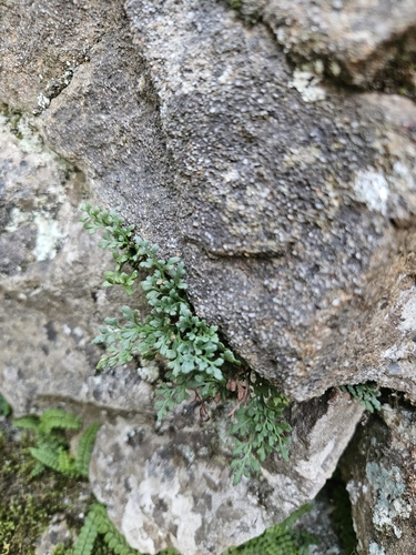
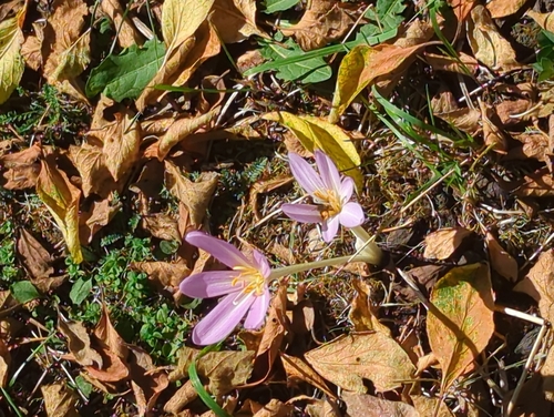
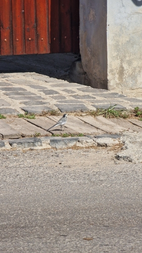
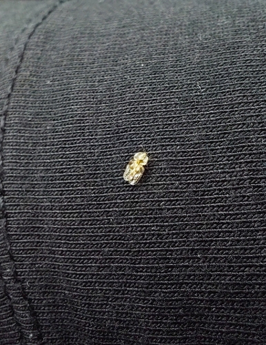
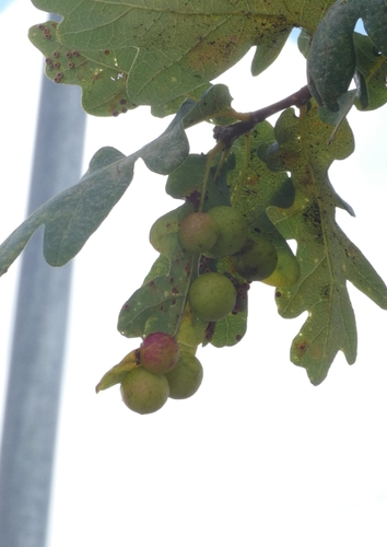
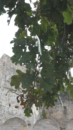
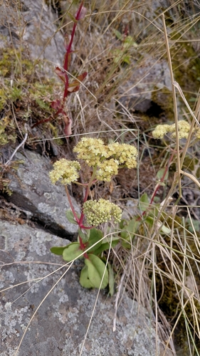
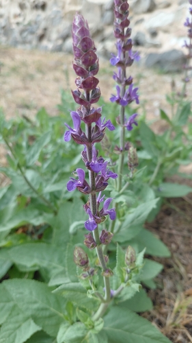
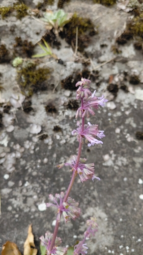
Research-grade observations from iNaturalist (within ~15 mi).
Events
Gallery
Sources
- • Wikipedia
- • Wikidata
- • USGS Earthquake Catalog (global feed)
- • GBIF (Global Biodiversity Information Facility)
- • iNaturalist
- • Open-Meteo / sunrise-sunset.org
- • Wikipedia Pageviews API