Browse / Romania / Timiș / Sannicolau Mare
Sannicolau Mare
Timiștown

Sannicolau Mare
Total population
13,083
Founded
1217
Demographic figures from INS Romania. Overview below cites Wikipedia and may reference a different year.
City facts
Sister cities
Facts from Wikidata (CC0).
Overview
Sânnicolau Mare is a town in Timiș County, Romania, and the westernmost in the country. Located in the Banat region, along the borders with Serbia and Hungary, it has a population of 10,627 as of 2021.
Read more on WikipediaHistory & geography
History
The oldest inhabitants of this land would have been the Agathyrsi, named after Agathyrsus, a son of Heracles. Herodotus wrote that in 513 BC next to the Maris (Mureș) river lived the Agathyrsi who were of Thracian origin, engaging in cultivation of the land and even winemaking. It got its name from the Mureș and from the Dacian tribe Morasian, which had its residence here before the arrival of the Romans. Morisena would have covered the entire territory from Cenad to Sânnicolau Mare, being located between the Mureș and Aranca rivers – which at that time was navigable. Even if Morisena did not lie on the hearth of the town, there are enough scientific and military reasons to believe that in this place there was a castrum of Legio XIII Gemina erected as an outpost for the defense of Morisena. Between 106 and 274 AD Morisena becomes a town under the Roman Empire. In 274 AD, emperor Aurelian withdrew his legions south of the Danube, leaving Trajan's Dacia in the hands of the Goths. Between 380 and 396 the Huns, invading Dacia under Attila, drove the Goths south of the Danube, occupying Dacia, which they named Hunia, Morisena becoming the capital of the Hun Empire, Attila's residence. Morisena was located on a very large area, including Cenad and Sânnicolau Mare, which appear together on the map of Europe in the 5th century. The natives were spared and even respected by the Huns, living with them in harmony. Attila in his battles in the Balkan Peninsula brings Roman slaves and settles them in Dacia, strengthening the Roman element. Byzantine rhetorician Priscus, sent by emperor Theodosius II, described Attila as having royal authority, dressed simply and very religiously, and learning beautiful things from the Dacians, Hun, Latin and Roman being spoken at his court. From…
Geography
Sânnicolau Mare is the westernmost town of Romania and Timiș County, being also the third largest town in the county after Timișoara and Lugoj. It is a border town, having a border with Hungary, on the unregularized course of the Mureș River. It covers an area of , 1.55% of the area of Timiș County. It borders Saravale to the east, Tomnatic to the south, Teremia Mare to the southwest, Dudeștii Vechi to the west. and Cenad to the northwest. The town numbers 112 streets with a length of , arranged perpendicularly to each other. The length of the town is , and the width is . * Bujak * Centru * Capul Satului * Comuna Germană * Kindărești * Primăverii * Satul Nou * Sighet * Slatina The town lies in the low plain of the Aranca Canal. It is generally flat, only slightly fragmented, as a result of water erosion during the time when the Mureș River was able to overflow and uneven deposition of alluvial material. The territory is located in the Mureș Plain, which is a typical form of fluvio-lacustrine subsidence, with shallow valleys with abandoned riverbeds resulting from the regularization of watercourses and drainage, with an altitude between . The northern part is located in the former meadow of Mureș, and the southern part in the former meadow of the old Aranca stream, today regularized and canalized. On the territory of the town there are some elevations with southwest–northeast direction, which continue towards Saravale commune. The most important of these hunci (elevations) is located on the former border line between the town and the former commune of Sânnicolau German (now incorporated into the town), south of the Dudeștii Vechi–Tomnatic road, and is called Hunca Farchii. The most important natural resource is geothermal water, which is used in greenhouses, in…
Excerpted from the corresponding Wikipedia article (CC BY-SA).
Geography
Coordinates & boundaries from the US Census TIGER/Line shapefiles.
Climate
Air quality
Walkability
Amenities nearby
Wildlife & biodiversity
Most-observed species
- Roman SnailHelix pomatia Linnaeus, 1758 · Gastropoda146
- European helicid land snailCaucasotachea vindobonensis (C.Pfeiffer, 1828) · Gastropoda99
- Eurasian MagpiePica pica (Linnaeus, 1758) · Aves68
- Eurasian Collared-DoveStreptopelia decaocto (Frivaldszky, 1838) · Aves62
- False-acaciaRobinia pseudoacacia L. · Magnoliopsida46
- Eurasian Marsh-HarrierCircus aeruginosus (Linnaeus, 1758) · Aves44
- Johnson-grassSorghum halepense (L.) Pers. · Liliopsida41
- Eurasian KestrelFalco tinnunculus Linnaeus, 1758 · Aves41
Citizen-science & research observations from the Global Biodiversity Information Facility (GBIF).
Earthquake history
Most recent
- M 4.1 — 2025-10-215 km SW of Cserkeszőlő, Hungary
- M 4 — 2025-07-059 km NNE of Pálmonostora, Hungary
- M 3.5 — 2023-08-206 km SE of Szarvas, Hungary
- M 3.4 — 2023-08-1910 km E of Szarvas, Hungary
- M 3.7 — 2023-08-1910 km ESE of Szarvas, Hungary
- M 3.6 — 2023-08-1910 km ESE of Szarvas, Hungary
Events from the USGS Earthquake Catalog (global) (FDSN Event Web Service).
Photos
Sights & places nearby
Notable people from here


People born within ~10 km, from Wikidata (CC0). Click any name for their Wikipedia article.
Nearby places in Timiș
- Cenad4.9 mi away · pop. 3,991
- Saravale5.6 mi away · pop. 2,457
- Tomnatic6 mi away · pop. 2,927
- Dudeștii Vechi6.9 mi away · pop. 4,450
- Nerău7.7 mi away · pop. 1,018
- Igriș8.2 mi away · pop. 1,269
- Cheglevici8.8 mi away · pop. 577
- Vizejdia9 mi away · pop. 302
- Sânpetru Mare9.4 mi away · pop. 1,998
- Teremia Mică9.9 mi away · pop. 532
- Lovrin10 mi away · pop. 3,562
- Gottlob10.2 mi away · pop. 1,769
Geography & sun
Nearby airports
Public attention
Books about this place
Recent natural events nearby
Ground air-quality sensors
Recently spotted species
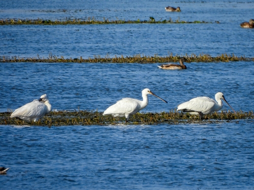
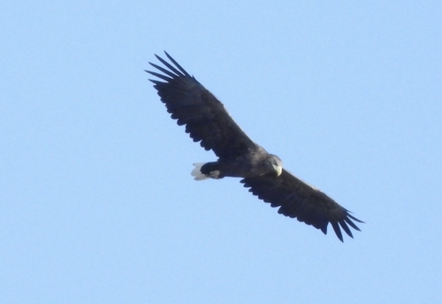
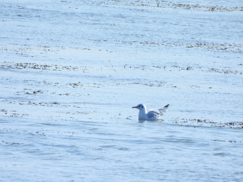
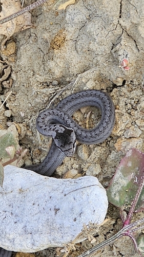
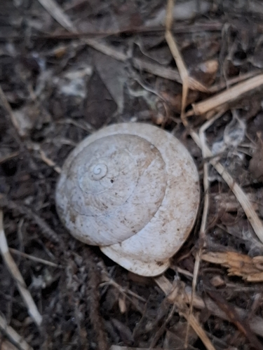
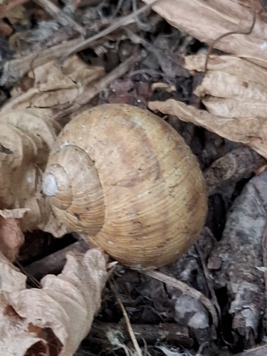
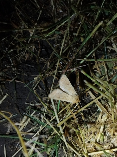
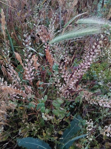
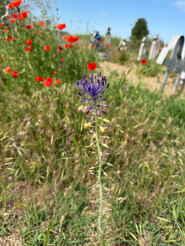
Research-grade observations from iNaturalist (within ~15 mi).
Events
Gallery
Sources
- • Wikipedia
- • Wikidata
- • USGS Earthquake Catalog (global feed)
- • GBIF (Global Biodiversity Information Facility)
- • iNaturalist