Browse / Romania / Covasna / Sfântu Gheorghe
Sfântu Gheorghe
Covasnacity

Sfântu Gheorghe
Total population
56,006
Founded
1332
Demographic figures from INS Romania. Overview below cites Wikipedia and may reference a different year.
City facts
Facts from Wikidata (CC0).
Overview
Sfântu Gheorghe is a city that serves as the seat of Covasna County in Transylvania, Romania. Located in the central part of the country, it lies on the Olt River in a valley between the Baraolt Mountains and the Bodoc Mountains. The town administers two villages, Chilieni and Coșeni.
Read more on WikipediaHistory & geography
History
Sfântu Gheorghe is one of the oldest urban settlements in Transylvania, the town first having been documented in 1332. The town takes its name from Saint George, the patron of the local church. Historically, it was also known in German as Sankt Georgen. The "sepsi" prefix (sebesi → sepsi, meaning "of Sebes") refers to the area which the ancestors of the local Székely population had inhabited before settling to the area of the town. The previous area of their settlement was around the town of "Sebes" (now Sebeș, in Alba County) which later became populated mainly by Transylvanian Saxons (), being known as Mühlbach in German. While part of the Kingdom of Hungary, the town was the economic and administrative center of the Hungarian county of Háromszék, which spanned the present-day Covasna County and parts of Brașov County. In the second half of the 19th century, Sepsiszentgyörgy witnessed the development of light industry, a textile and a cigarette factory being built. In the aftermath of World War I, the Union of Transylvania with Romania was declared in December 1918. At the start of the Hungarian–Romanian War of 1918–1919, the town passed under Romanian administration. After the Treaty of Trianon of 1920, it became part of the Kingdom of Romania and the seat of Trei Scaune County. In 1940, the Second Vienna Award granted Northern Transylvania to the Kingdom of Hungary. Near the end of that period, the Sfântu Gheorghe ghetto briefly existed in the town. In September 1944, during World War II, Romanian and Soviet armies entered the town. The territory of Northern Transylvania remained under Soviet military administration until 9 March 1945, after which it became again part of Romania; the Paris Peace Treaties of 1947 reaffirmed the town and the entirety of Transylvania…
Excerpted from the corresponding Wikipedia article (CC BY-SA).
Geography
Coordinates & boundaries from the US Census TIGER/Line shapefiles.
Climate
Air quality
Walkability
Amenities nearby
Wildlife & biodiversity
Most-observed species
- Common BuzzardButeo buteo (Linnaeus, 1758) · Aves487
- Great TitParus major Linnaeus, 1758 · Aves484
- Eurasian MagpiePica pica (Linnaeus, 1758) · Aves440
- Eurasian Collared-DoveStreptopelia decaocto (Frivaldszky, 1838) · Aves379
- House SparrowPasser domesticus (Linnaeus, 1758) · Aves379
- Common ChaffinchFringilla coelebs Linnaeus, 1758 · Aves315
- Rock PigeonColumba livia J.F.Gmelin, 1789 · Aves303
- Eurasian Tree SparrowPasser montanus (Linnaeus, 1758) · Aves289
Citizen-science & research observations from the Global Biodiversity Information Facility (GBIF).
Earthquake history
Most recent
- M 4.4 — 2026-08-2513 km SSE of Comandău, Romania
- M 4.6 — 2026-08-119 km ESE of Vama Buzăului, Romania
- M 4.5 — 2026-02-261 km SSW of Paltin, Romania
- M 4.2 — 2025-10-2512 km W of Nereju Mic, Romania
- M 4.4 — 2025-08-242 km S of Spulber, Romania
- M 4.1 — 2025-05-1613 km NNW of Gura Teghii, Romania
Events from the USGS Earthquake Catalog (global) (FDSN Event Web Service).
Photos
Sights & places nearby
Notable people from here


People born within ~10 km, from Wikidata (CC0). Click any name for their Wikipedia article.
Nearby places in Covasna
- Chilieni2.1 mi away · pop. 642
- Arcuș2.5 mi away · pop. 1,248
- Sâncraiu3.1 mi away · pop. 280
- Valea Crișului3.5 mi away · pop. 1,538
- Ghidfalău3.8 mi away · pop. 1,113
- Coșeni3.8 mi away · pop. 497
- Calnic4.4 mi away · pop. 521
- Șugaș Băi4.4 mi away
- Fotoș4.5 mi away · pop. 380
- Angheluș4.8 mi away · pop. 681
- Ilieni5 mi away · pop. 996
- Etfalău5 mi away
Geography & sun
Elevation, sunrise/sunset and daylight from Open-Meteo. Solar climatology from NASA POWER.
Nearby airports
Public attention
Pageview totals from the Wikimedia Pageviews API.
Books about this place
Recent natural events nearby
Ground air-quality sensors
Recently spotted species
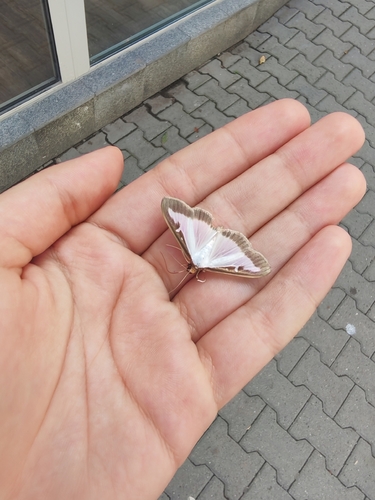
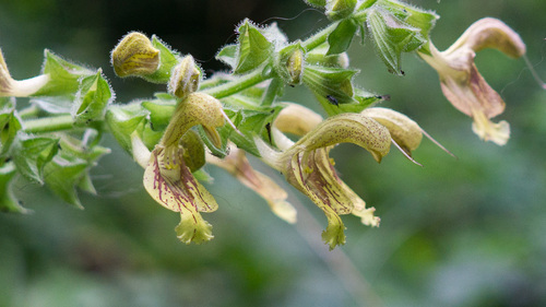
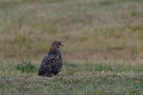
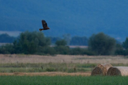
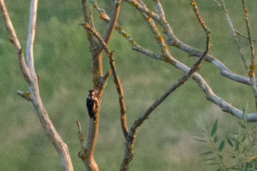
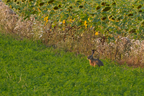
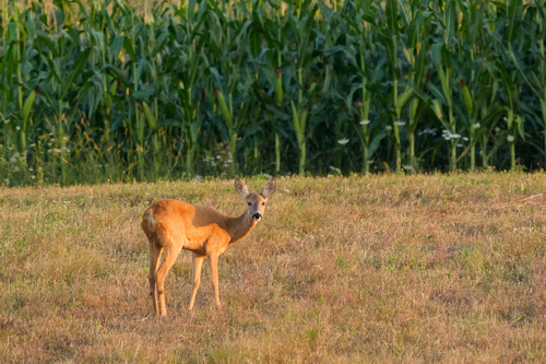
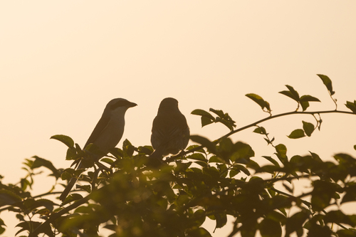
Research-grade observations from iNaturalist (within ~15 mi).
Events
Gallery
Sources
- • Wikipedia
- • Wikidata
- • USGS Earthquake Catalog (global feed)
- • GBIF (Global Biodiversity Information Facility)
- • iNaturalist
- • Open-Meteo / sunrise-sunset.org
- • Wikipedia Pageviews API