Browse / Romania / Mureș / Târgu Mureș
Târgu Mureș
Mureșcity

Târgu Mureș
Total population
134,290
Founded
1230
Demographic figures from INS Romania. Overview below cites Wikipedia and may reference a different year.
City facts
Sister cities
Facts from Wikidata (CC0).
Overview
Târgu Mureș is the seat of Mureș County in the historical region of Transylvania, Romania. It is the 16th-largest city in Romania, with 116,033 inhabitants as of the 2021 census. It lies on the Mureș River, the second-longest river in Romania.
Read more on WikipediaHistory & geography
History
The first known recorded documentation of the city dates to 1332. It is mentioned in the papal registry under the Latin name Novum Forum Siculorum meaning New Szekler Marketplace, and under the Hungarian name Sekulvasarhel (Székelyvásárhely) meaning Szekler Marketplace in 1349. Prior to 1332 a Dominican church stood where the Fortress' Church is now sited, up until the Mongol invasion, when it was destroyed. The current Fortress' Church was built by the Franciscans in a new Gothic-style around 1332. In 1405, the King of Hungary Sigismund of Luxembourg granted the city the right to organize fairs. Since 1439 the town was the scene of the sessions of the Transylvanian parliament (diet) 36 times. In 1470 King Matthias Corvinus granted the first judicial privilege to the city, and in 1482 declared the city a royal settlement. In 1492, wayvoda (prince) István Báthory strengthened a monastery with fortifications. In 1506, the troops of Pál Tomori were beaten by the Székelys who were rising against the payment of an extraordinary Ox tax imposed on them on occasion of the birth of Louis II of Hungary. In 1557, the Reformed Church College (i.e., Presbyterians) was established as the oldest Hungarian school of Transylvania. In 1571, the session of the Transylvanian parliament under prince John II Sigismund Zápolya accepted the free preaching of the word of God, including by the Unitarian Church. In 1600–1601, as a result of the siege of Giorgio Basta under the direction of Emperor Rudolf II, the fortress crumbled to ruins. In 1602, the troops of Gergely Németh put on fire the remaining houses of the town, therefore, in 1602 the reconstruction of the fortress was started on the advice of mayor Tamás Borsos, but it was actually built between 1614 and 1653. Mózes Székely the…
Geography
The city is located in the Mureș River valley. The city spreads out from Fortress Church in the center of the town, built in the 14th century, to form an area of . The city is located at the centre of the historical region of Transylvania and covers an area of . It lies at the junction of three geographical regions of Transylvania (Transylvanian Plain, Mureș Valley and Niraj Valley) at above sea level. The city extends onto both banks of the Mureș river, however, the downtown area and the greater part of the districts are located on the left bank. The Cornești plateau () is the city's highest point ( above sea level, co-ordinates: ). Târgu Mureș is from Bucharest, from Chișinău, from Belgrade, from Budapest, from Sofia and from Kyiv. It is surrounded by the following communes: Sângeorgiu de Mureș, Livezeni, Sântana de Mureș, Sâncraiu de Mureș, Corunca, Cristești and Ceuașu de Câmpie. Two villages, Mureșeni (Meggyesfalva) and Remetea (Remeteszeg), are administered by the city. Distances between the city and some of the major cities in Romania: *Bucharest: by rail , by road *Brașov by rail , by road *Constanța by rail , by road *Cluj-Napoca by rail, by road *Iași by rail , by road *Sibiu by rail , by road *Timișoara by rail , by road
Excerpted from the corresponding Wikipedia article (CC BY-SA).
Geography
Coordinates & boundaries from the US Census TIGER/Line shapefiles.
Climate
Air quality
Walkability
Amenities nearby
Wildlife & biodiversity
Most-observed species
- Eurasian Collared-DoveStreptopelia decaocto (Frivaldszky, 1838) · Aves853
- Rock PigeonColumba livia J.F.Gmelin, 1789 · Aves615
- European GoldfinchCarduelis carduelis (Linnaeus, 1758) · Aves559
- Common BuzzardButeo buteo (Linnaeus, 1758) · Aves478
- House SparrowPasser domesticus (Linnaeus, 1758) · Aves443
- Eurasian MagpiePica pica (Linnaeus, 1758) · Aves328
- Great TitParus major Linnaeus, 1758 · Aves324
- Eurasian Tree SparrowPasser montanus (Linnaeus, 1758) · Aves317
Citizen-science & research observations from the Global Biodiversity Information Facility (GBIF).
Earthquake history
Events from the USGS Earthquake Catalog (global) (FDSN Event Web Service).
Photos
Sights & places nearby
Notable people from here


People born within ~10 km, from Wikidata (CC0). Click any name for their Wikipedia article.
Nearby places in Mureș
Geography & sun
Elevation, sunrise/sunset and daylight from Open-Meteo. Solar climatology from NASA POWER.
Nearby airports
Public attention
Pageview totals from the Wikimedia Pageviews API.
Books about Târgu Mureș


Search results from Open Library.
Recent natural events nearby
Ground air-quality sensors
Recently spotted species
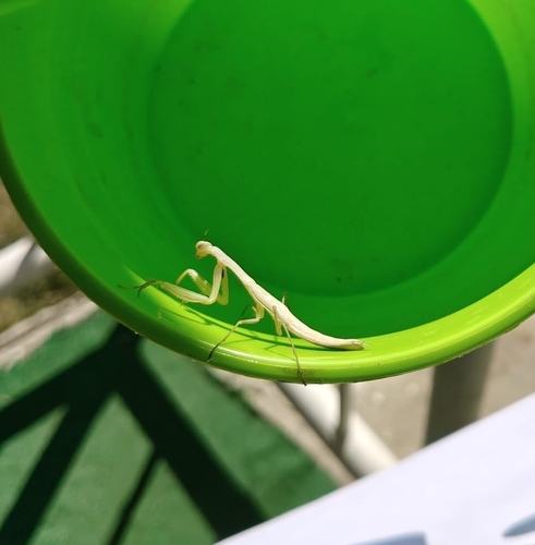
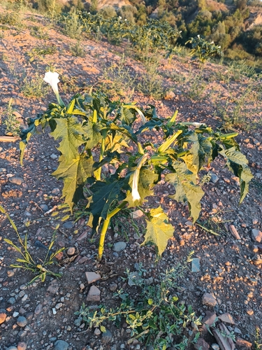
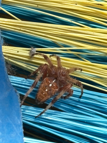
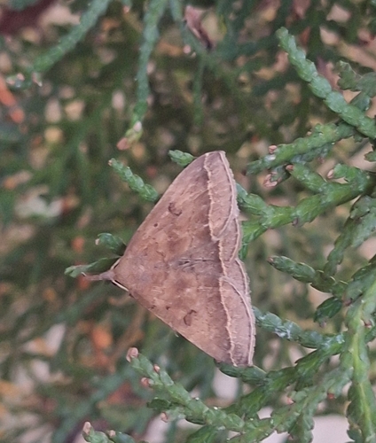
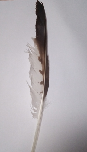
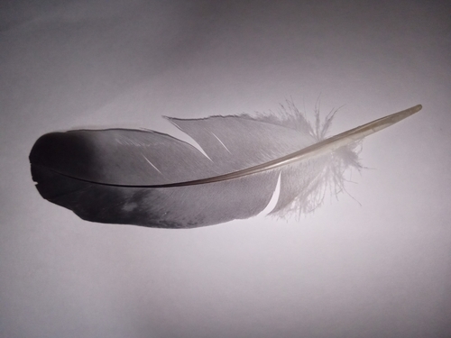
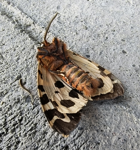
Research-grade observations from iNaturalist (within ~15 mi).
Events
Gallery
Sources
- • Wikipedia
- • Wikidata
- • USGS Earthquake Catalog (global feed)
- • GBIF (Global Biodiversity Information Facility)
- • iNaturalist
- • Open-Meteo / sunrise-sunset.org
- • Wikipedia Pageviews API
- • Open Library