Browse / Romania / Teleorman / Turnu Măgurele
Turnu Măgurele
Teleormancity

Turnu Măgurele
Total population
36,966
Founded
1394
Demographic figures from INS Romania. Overview below cites Wikipedia and may reference a different year.
City facts
Facts from Wikidata (CC0).
Overview
Turnu Măgurele is a city in Teleorman County, Romania, in the historical region of Muntenia. Developed nearby the site once occupied by the medieval port of Turnu, it is situated north-east of the confluence between the Olt River and the Danube, at the edge of the Wallachian Plain.
Read more on WikipediaHistory & geography
History
After the Daco-Roman wars of 101–106 AD, ended by the victory of the Roman armies led by Emperor Trajan and the conquest of Dacia. Emperor Trajan fortified the eastern border of Dacia on the Olt line, building the famous Limes Alutanus, consisting of fortresses and fortresses on either side of the Olt River, from the Danube to the Boița Mountains. Procopius of Caesarea, during the time of Justinian the Great, recalls the city of Turris and points to Trajan as its founder. Some historians identify the fortress with the one discovered at Turnu Măgurele. This assertion is not confirmed; according to archaeological research, the Turnu Fortress dates from a later period. Historians and archaeologists have not yet agreed on when the construction of the Danube fortification began: there are theories about a construction from the time of Constantine the Great or even later, from the time of Justinian I, but none of them is fully accepted by historians. What is certain is that during the reign of Mircea the Elder, this settlement played an important role in the defensive strategy of Wallachia in the face of the Ottoman danger. The first documentary attestation of the fortress of Turnu appears between the years 1393–1395 in a document (from 1397) of the chancellery of Sigismund of Luxembourg. The document describes the context and history of Sigismund's struggles in support of Mircea the Elder, his vassal, to return to the throne of Wallachia. In this diploma it is mentioned the recapture of the fortress by the troops allied to Mircea: The fortress will remain under the rule of Wallachia during the reign of Mircea until around 1417, when Turnu came under Turkish rule and was transformed, together with a security zone (established in the depths of Wallachian territory with a…
Geography
A ferry plies across the Danube to the Bulgarian city of Nikopol. There are some vestiges of a Roman bridge across the Danube, built in 330 by Constantine the Great. It is built in the Danube plain in a fertile land called the . At south-west from it the river Olt joins the Danube. Its medium altitude is above sea level. The climate in Turnu Măgurele is characteristic of southern Romania, specifically a temperate-continental climate with sub-Mediterranean influences. Four distinct seasons are present: winter, spring, summer, and autumn. Winters in Turnu Măgurele are milder compared to the rest of the country, due to its low-lying geographical position and the influence of warm air masses from the south. However, summers are extremely hot (with very high temperatures frequently exceeding 35°C and occasionally reaching the 40°C threshold) and with very low precipitation. The city is recognized as one of Romania's hottest areas. In general, temperature variations are significant, with the city frequently recording national temperature records during the summer, while winter is marked by fewer days of snow cover compared to areas in the north of the country. The hottest temperature ever recorded in Turnu Măgurele is 43.4°C on July 24, 2007, while the coldest is −32.3°C on January 15, 1893.
Excerpted from the corresponding Wikipedia article (CC BY-SA).
Geography
Coordinates & boundaries from the US Census TIGER/Line shapefiles.
Climate
Air quality
Walkability
Amenities nearby
Wildlife & biodiversity
Most-observed species
- Great Cormorant/European ShagPhalacrocorax carbo (Linnaeus, 1758) · Aves110
- MallardAnas platyrhynchos Linnaeus, 1758 · Aves110
- Eurasian Collared-DoveStreptopelia decaocto (Frivaldszky, 1838) · Aves82
- Eurasian MagpiePica pica (Linnaeus, 1758) · Aves79
- White StorkCiconia ciconia (Linnaeus, 1758) · Aves78
- Common BuzzardButeo buteo (Linnaeus, 1758) · Aves61
- Ring-necked PheasantPhasianus colchicus Linnaeus, 1758 · Aves55
- Eurasian Tree SparrowPasser montanus (Linnaeus, 1758) · Aves52
Citizen-science & research observations from the Global Biodiversity Information Facility (GBIF).
Earthquake history
Most recent
- M 4.1 — 2014-06-244 km NNW of Corabia, Romania
- M 3.2 — 2008-01-113 km SE of ?elaru, Romania
- M 2.8 — 2007-12-273 km SE of ?elaru, Romania
- M 2.6 — 2007-12-0110 km E of Ruse, Bulgaria
- M 2.5 — 2007-10-2610 km S of Pordim, Bulgaria
Events from the USGS Earthquake Catalog (global) (FDSN Event Web Service).
Photos
Sights & places nearby
Notable people from here


People born within ~10 km, from Wikidata (CC0). Click any name for their Wikipedia article.
Nearby places in Teleorman
- Ciuperceni3 mi away
- Lița3.8 mi away · pop. 3,683
- Poiana4.2 mi away
- Segarcea-Deal5.3 mi away · pop. 1,716
- Segarcea-Vale5.5 mi away · pop. 1,346
- Islaz5.9 mi away · pop. 5,551
- Olteanca6.5 mi away · pop. 1,209
- Traian6.8 mi away · pop. 2,522
- Moldoveni7.3 mi away · pop. 1,312
- Lunca7.8 mi away · pop. 2,680
- Pleașov9 mi away · pop. 1,202
- Seaca9.2 mi away · pop. 1,927
Geography & sun
Nearby airports
Public attention
Books about this place
Recent natural events nearby
Ground air-quality sensors
Recently spotted species
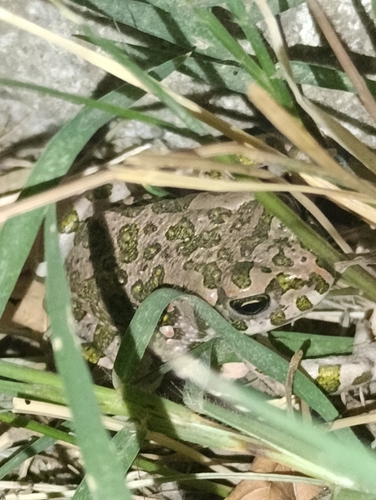
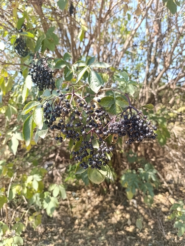
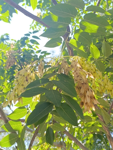
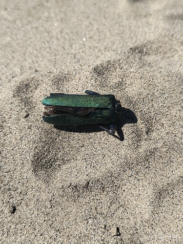
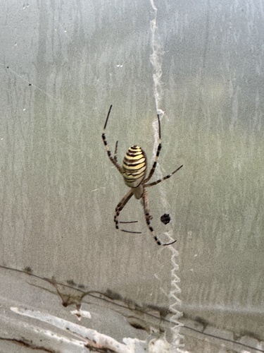
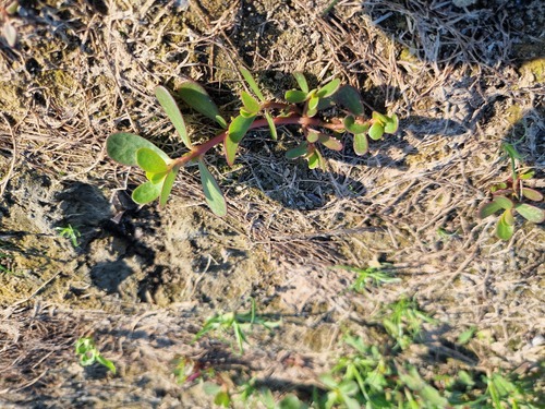
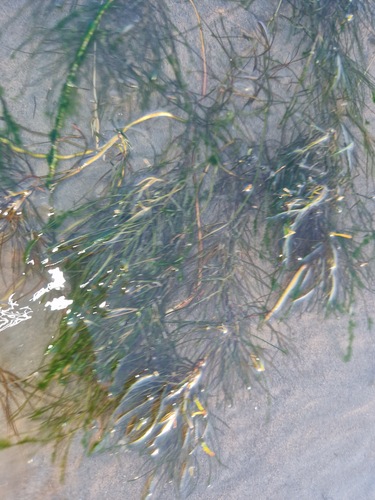
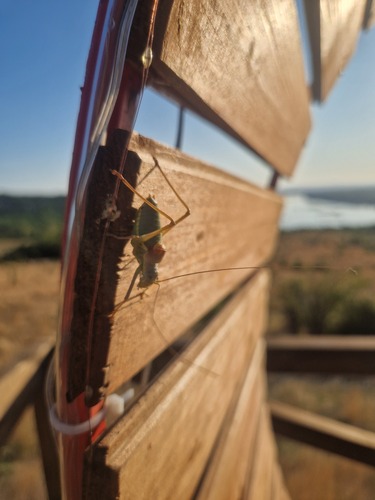
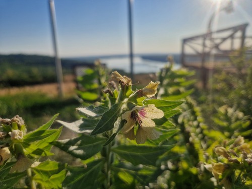
Research-grade observations from iNaturalist (within ~15 mi).
Events
Gallery
Sources
- • Wikipedia
- • Wikidata
- • USGS Earthquake Catalog (global feed)
- • GBIF (Global Biodiversity Information Facility)
- • iNaturalist