Browse / Romania / Bihor / Valea de Sus
Valea de Sus
Bihorvillage

Valea de Sus
Total population
418
Air quality index
Demographic figures from INS Romania. Overview below cites Wikipedia and may reference a different year.
City facts
Overview
Câmpani is a commune in Bihor County, Crișana, Romania. Its earliest attested documentation dates to 1600. It is situated in the southern part of the county, near the Apuseni Mountains, on the banks of the Băița River. Câmpani is situated at roughly equal distances to 3 towns: Nucet (5 km), Ștei (6 km), Vașcău (8 km), and 88 km from the county capital Oradea.
Read more on WikipediaHistory & geography
Geography
Coordinates & boundaries from the US Census TIGER/Line shapefiles.
Climate
Air quality
Current readings from Open-Meteo Air Quality API (Copernicus CAMS European reanalysis).
Walkability
Amenities nearby
Wildlife & biodiversity
Most-observed species
- Annual FleabaneErigeron annuus (L.) Pers. · Magnoliopsida83
- Gray WagtailMotacilla cinerea Tunstall, 1771 · Aves55
- Japanese KnotweedReynoutria japonica Houtt. · Magnoliopsida55
- European RobinErithacus rubecula (Linnaeus, 1758) · Aves52
- Common ChaffinchFringilla coelebs Linnaeus, 1758 · Aves51
- Coal TitPeriparus ater (Linnaeus, 1758) · Aves47
- Common ChiffchaffPhylloscopus collybita (Vieillot, 1817) · Aves43
- White WagtailMotacilla alba Linnaeus, 1758 · Aves43
Citizen-science & research observations from the Global Biodiversity Information Facility (GBIF).
Earthquake history
Most recent
- M 4.3 — 2024-08-105 km NNE of Ohaba Lungă, Romania
- M 2.6 — 2006-12-0810 km NNW of Horea, Romania
- M 3 — 2006-07-145 km NNE of Dobre?ti, Romania
- M 3.1 — 2005-05-174 km SSE of M?rg?u, Romania
Events from the USGS Earthquake Catalog (global) (FDSN Event Web Service).
Photos
Sights & places nearby
Notable people from here
Geography & sun
Elevation, sunrise/sunset and daylight from Open-Meteo. Solar climatology from NASA POWER.
Nearby airports
Public attention
Pageview totals from the Wikimedia Pageviews API.
Books about this place
Recent natural events nearby
Ground air-quality sensors
Recently spotted species
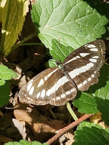
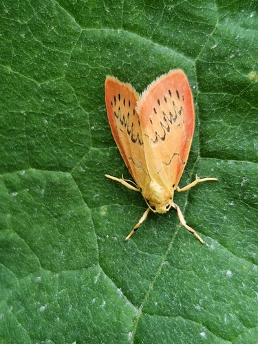
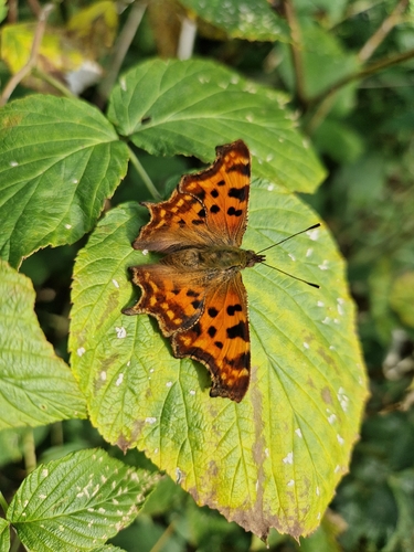
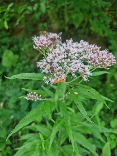
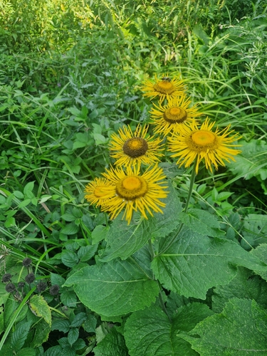
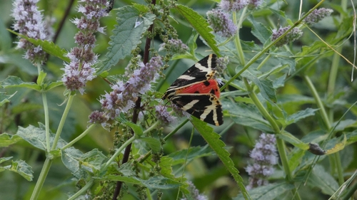
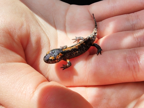
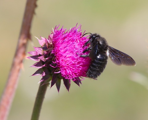
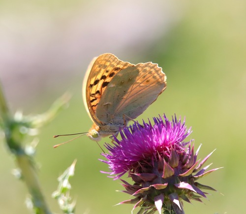
Research-grade observations from iNaturalist (within ~15 mi).
Events
Gallery
Official Identifiers
INS — National Institute of Statistics (Romania)
- SIRUTA
- 28754
- Population (Wikidata)
- 240
- Wikidata
- Q755172
SIRUTA via Wikidata P843
Sources
- • Wikipedia
- • Open-Meteo Air Quality (CAMS)
- • USGS Earthquake Catalog (global feed)
- • GBIF (Global Biodiversity Information Facility)
- • iNaturalist
- • Open-Meteo / sunrise-sunset.org
- • Wikipedia Pageviews API
- • INS — National Institute of Statistics (Romania) — SIRUTA via Wikidata P843