Browse / Romania / Bihor / Valea lui Mihai
Valea lui Mihai
Bihortown

Valea lui Mihai
Total population
10,505
Founded
1270
Demographic figures from INS Romania. Overview below cites Wikipedia and may reference a different year.
City facts
Sister cities
Facts from Wikidata (CC0).
Overview
Valea lui Mihai is a town in Bihor County, Crișana, Romania.
Read more on WikipediaHistory & geography
History
In 1312, under Charles I, it was allowed new trade privileges and then in 1459 was also allowed tax benefits privileges for its citizens. Later it was part of the Ottoman Empire, which resulted in its depopulation, but the inhabitants subsequently returned. From the late 17th century (formally the 1699 Treaty of Karlowitz), it was part of Hungary within the Habsburg monarchy (the Austrian Empire from 1804) and from the Austro-Hungarian Compromise of 1867 the Kingdom of Hungary (Lands of the Crown of Saint Stephen) within Austria-Hungary. After the collapse of Austria-Hungary at the end of World War I, and the declaration of the Union of Transylvania with Romania, the Romanian Army took control of the town in the spring of 1919, during the Hungarian–Romanian War. Valea lui Mihai officially became part of the territory ceded to the Kingdom of Romania in June 1920 under the terms of the Treaty of Trianon. After the administrative unification law in 1925, the town became the seat of plasa Valea lui Mihai in Sălaj County. In August 1940, under the auspices of Nazi Germany, which imposed the Second Vienna Award, Hungary retook the territory of Northern Transylvania (which included Valea lui Mihai) from Romania. Towards the end of World War II, however, the town was taken back from Hungarian and German troops by Romanian and Soviet forces in October 1944, during the initial stages of the Battle of Debrecen; it became again part of Romania in March 1945. Following the administrative reform of 1950, Valea lui Mihai became part of Săcueni Raion within Bihor Region (renamed Oradea Region in 1952 and Crișana Region in 1960). In 1968, the old territorial division into județe was reinstituted, and Valea lui Mihai became part of Bihor County. It was declared a town on three separate…
Geography
The town is located at the northern tip of Bihor County, around north-east of the county seat, Oradea, on the border with Hungary. It is crossed by national road (on this segment, part of European route E671), which runs from Oradea all the way to Sighetu Marmației, on the border with Ukraine. From Valea lui Mihai, road branches off, leading to the Hungarian border, away, where it connects to Main road 48.
Excerpted from the corresponding Wikipedia article (CC BY-SA).
Geography
Coordinates & boundaries from the US Census TIGER/Line shapefiles.
Climate
Air quality
Walkability
Amenities nearby
Wildlife & biodiversity
Most-observed species
- Cypress SpurgeEuphorbia cyparissias L. · Magnoliopsida33
- Athetis furvula (Hübner)Athetis furvula (Hübner) · Insecta19
- Small HeathCoenonympha pamphilus (Linnaeus, 1758) · Insecta18
- Common NettleUrtica dioica L. · Magnoliopsida18
- Eastern ChamomileAnthemis ruthenica M.Bieb. · Magnoliopsida17
- Loweia tityrus (Poda, 1761)Loweia tityrus (Poda, 1761) · Insecta16
- Soft BromeBromus hordeaceus L. · Liliopsida16
- Greater CelandineChelidonium majus L. · Magnoliopsida16
Citizen-science & research observations from the Global Biodiversity Information Facility (GBIF).
Earthquake history
Most recent
- M 4.3 — 2025-10-153 km SSW of Porumbești, Romania
- M 4.8 — 2006-11-236 km S of Koson’, Ukraine
- M 3.1 — 2006-11-155 km SE of Vary, Ukraine
- M 3 — 2006-07-145 km NNE of Dobre?ti, Romania
- M 2.8 — 2006-02-024 km NW of Vészt?, Hungary
- M 3.2 — 2003-07-018 km SSW of Mez?csát, Hungary
Events from the USGS Earthquake Catalog (global) (FDSN Event Web Service).
Photos
Sights & places nearby
Notable people from here


People born within ~10 km, from Wikidata (CC0). Click any name for their Wikipedia article.
Geography & sun
Nearby airports
Public attention
Books about this place
Recent natural events nearby
Ground air-quality sensors
Recently spotted species
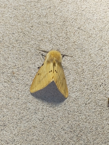
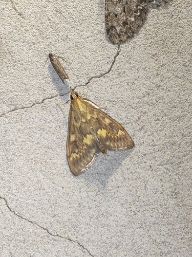
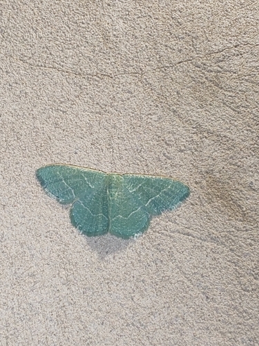
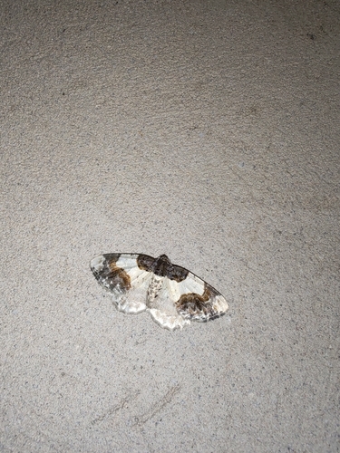
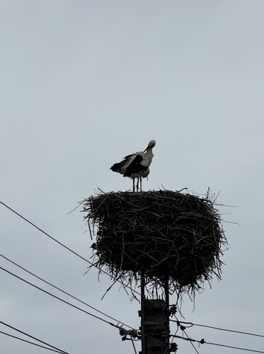
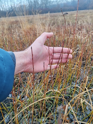
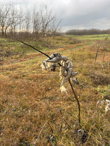
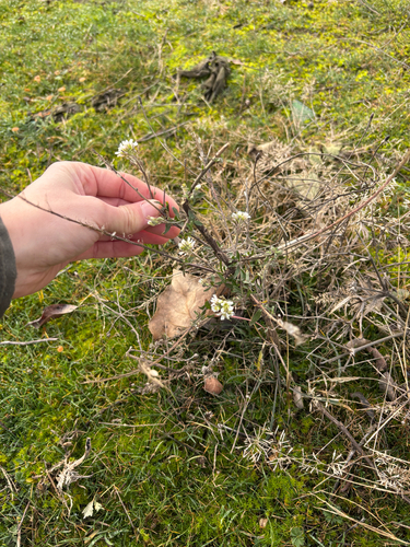
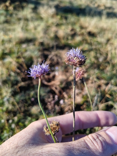
Research-grade observations from iNaturalist (within ~15 mi).
Events
Gallery
Sources
- • Wikipedia
- • Wikidata
- • USGS Earthquake Catalog (global feed)
- • GBIF (Global Biodiversity Information Facility)
- • iNaturalist