Browse / Romania / Bistrița-Năsăud / Zagra
Zagra
Bistrița-Năsăudvillage

Featured view
Zagra
Total population
1,236
Coordinates47.32°, 24.28°
Demographic figures from INS Romania. Overview below cites Wikipedia and may reference a different year.
Loading additional data from public sources…0 / 11
CensusWikipediaWeatherPlacesPeopleEnvironmentHealth & SchoolsRelatedGeography & CultureLive MonitoringEvents & Gallery
0% completeCity facts
Overview
Zagra is a commune in Bistrița-Năsăud County, Transylvania, Romania. It is composed of five villages: Alunișul, Perișor (Bethlenkörtvélyes), Poienile Zagrei (Pojény), Suplai (Ciblesfalva), and Zagra.
Read more on WikipediaHistory & geography
Geography
Latitude
47.3246
Longitude
24.2797
Water area
—
Coordinates & boundaries from the US Census TIGER/Line shapefiles.
Climate
Air quality
Walkability
Amenities nearby
Wildlife & biodiversity
Earthquake history
Photos
Sights & places nearby
Notable people from here
Nearby places in Bistrița-Năsăud
- Runcu Salvei2.5 mi away · pop. 1,665
- Perișor2.6 mi away · pop. 785
- Mititei3.3 mi away · pop. 809
- Salva3.8 mi away · pop. 3,105
- Nimigea de Sus3.8 mi away · pop. 640
- Păltineasa4.1 mi away · pop. 174
- Mocod4.4 mi away · pop. 752
- Poienile Zagrei4.5 mi away · pop. 887
- Alunișul4.6 mi away · pop. 461
- Sita4.6 mi away · pop. 437
- Mireș4.6 mi away · pop. 180
- Nimigea de Jos5 mi away · pop. 1,512
Geography & sun
Avg solar (kWh/m²/day)
3.35
Annual solar (kWh/m²)
1,221
Elevation, sunrise/sunset and daylight from Open-Meteo. Solar climatology from NASA POWER.
Nearby airports
Public attention
Wikipedia views (last 30 days)
1
Avg daily Wikipedia views
0
Attention level
Obscure
Pageview totals from the Wikimedia Pageviews API.
Books about this place
Recent natural events nearby
Ground air-quality sensors
Recently spotted species
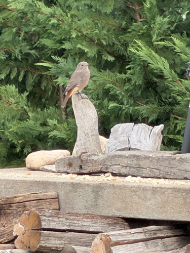
Common Redstart
Phoenicurus phoenicurus
Seen 2026-08-29
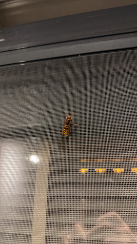
European Hornet
Vespa crabro
Seen 2026-08-17
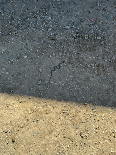
grass snake
Natrix natrix
Seen 2026-05-06
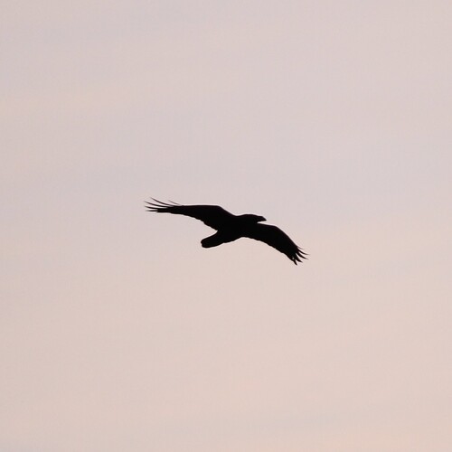
Common Raven
Corvus corax
Seen 2026-03-06
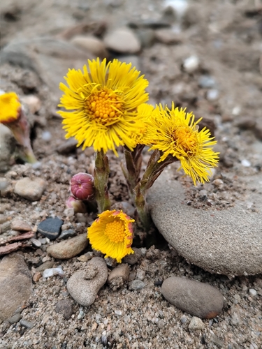
colt's-foot
Tussilago farfara
Seen 2026-03-06
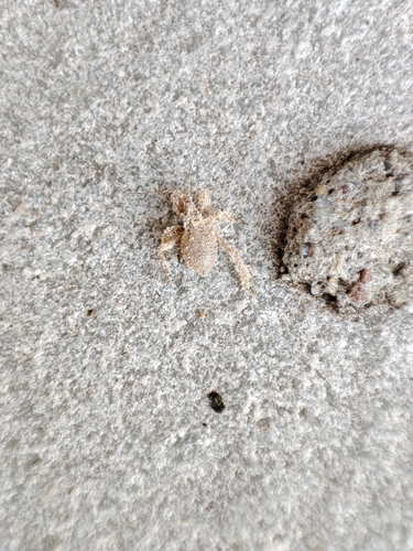
Masked Hunter
Reduvius personatus
Seen 2025-06-07
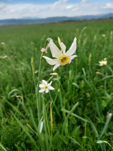
Poet's Narcissus
Narcissus poeticus
Seen 2025-04-26
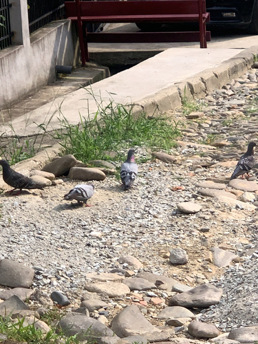
Feral Pigeon
Columba livia domestica
Seen 2024-07-20
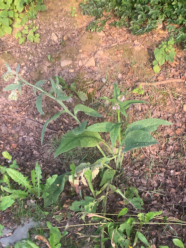
common comfrey
Symphytum officinale
Seen 2024-07-06
Research-grade observations from iNaturalist (within ~15 mi).
Events
Gallery
Sources
- • Wikipedia
- • iNaturalist
- • Open-Meteo / sunrise-sunset.org
- • Wikipedia Pageviews API