Browse / Russia / Samara Oblast / Kinel
Kinel
Samara Oblasttown
Total population
34,690
Demographic figures from Rosstat. Overview below cites Wikipedia and may reference a different year.
City facts
Overview
As a town in Samara Oblast, Russia, Kinel occupies its own corner of the country. Geographically it lies in the northern hemisphere at a cool temperate latitude (53.220°, 50.633°). Around 34,690 people are recorded as living there in the most recent open data. The location receives about 1,190 kWh/m² of solar irradiance per year and sunshine for roughly 47% of daylight hours. The latitude suggests long cool seasons and short, mild summers. Continue scrolling for population, climate, environmental and points-of-interest data drawn from public sources.
Summary composed automatically from structured open data on this page. See our Terms for details.
History & geography
Geography
Coordinates & boundaries from the US Census TIGER/Line shapefiles.
Climate
Air quality
Walkability
Amenities nearby
Wildlife & biodiversity
Most-observed species
- Western Yellow WagtailMotacilla flava Linnaeus, 1758 · Aves84
- Black KiteMilvus migrans (Boddaert, 1783) · Aves71
- Eurasian Tree SparrowPasser montanus (Linnaeus, 1758) · Aves52
- Great TitParus major Linnaeus, 1758 · Aves51
- Hooded CrowCorvus cornix Linnaeus, 1758 · Aves49
- White WagtailMotacilla alba Linnaeus, 1758 · Aves48
- Common RavenCorvus corax Linnaeus, 1758 · Aves47
- BluethroatLuscinia svecica (Linnaeus, 1758) · Aves47
Citizen-science & research observations from the Global Biodiversity Information Facility (GBIF).
Earthquake history
Events from the USGS Earthquake Catalog (global) (FDSN Event Web Service).
Photos
Sights & places nearby
Notable people from here


People born within ~10 km, from Wikidata (CC0). Click any name for their Wikipedia article.
Nearby places in Samara Oblast
- Alekseyevka6.2 mi away · pop. 10,915
- Novosemeykino15.5 mi away · pop. 9,794
- Krasnyy Yar21.3 mi away · pop. 7,958
- Samara22.1 mi away · pop. 1,154,223
- Novokuybyshevsk29.6 mi away · pop. 98,306
- Bogatoye31.1 mi away · pop. 5,922
- Otradny31.4 mi away · pop. 47,593
- Neftegorsk36.5 mi away · pop. 18,358
- Kinel-Cherkasy38.6 mi away · pop. 17,252
- Chapaevsk41.6 mi away · pop. 72,228
- Krasnoarmeyskoe43.1 mi away · pop. 5,344
- Borskoye46.2 mi away · pop. 8,953
Geography & sun
Elevation, sunrise/sunset and daylight from Open-Meteo. Solar climatology from NASA POWER.
Nearby airports
Public attention
Books about this place
Recent natural events nearby
Ground air-quality sensors
Recently spotted species
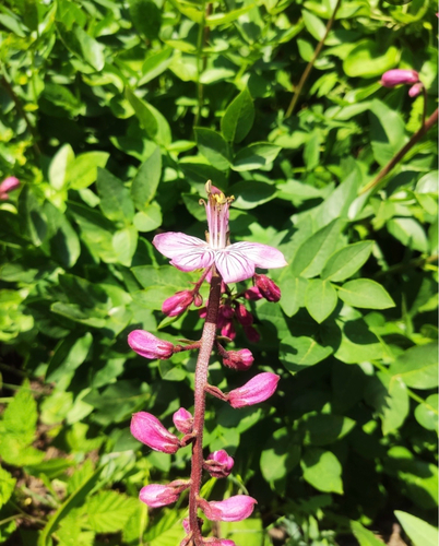
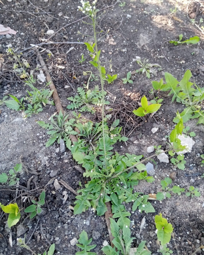
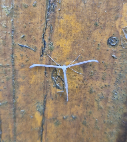
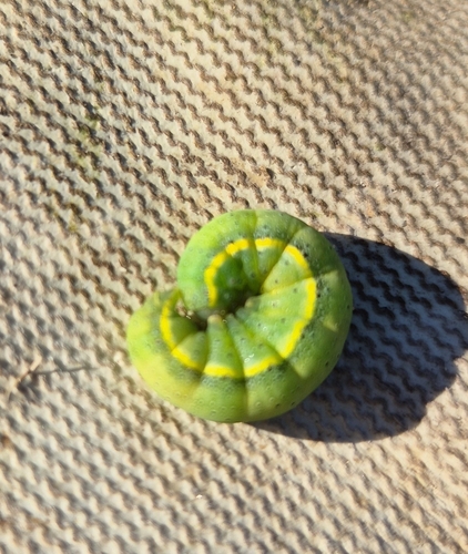
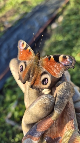
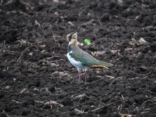
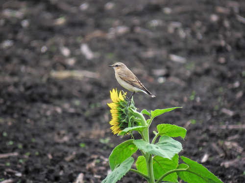
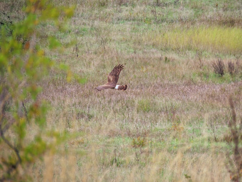
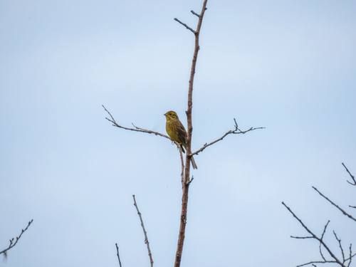
Research-grade observations from iNaturalist (within ~15 mi).
Events
Gallery
Sources
- • Wikidata
- • USGS Earthquake Catalog (global feed)
- • GBIF (Global Biodiversity Information Facility)
- • iNaturalist
- • Open-Elevation
- • Open-Meteo / sunrise-sunset.org